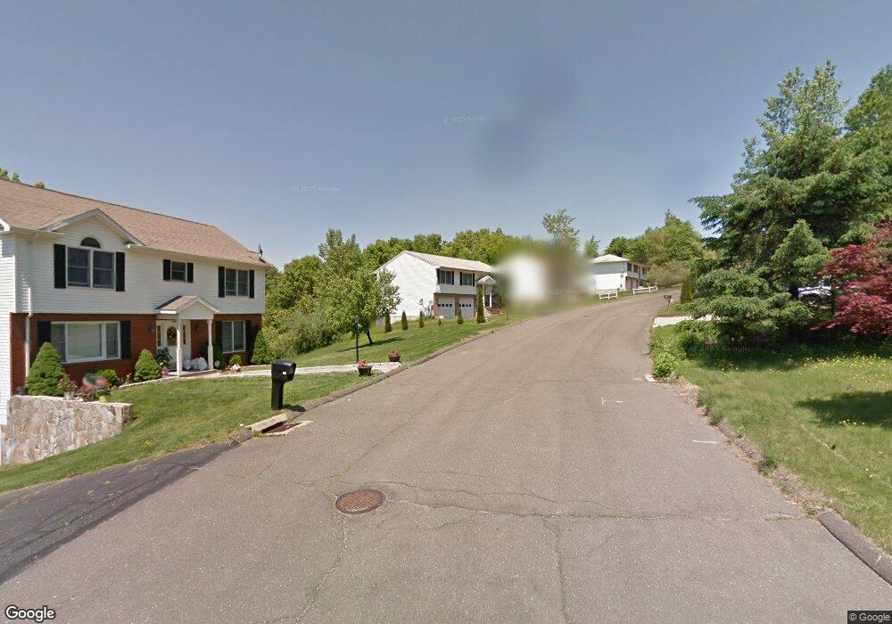
154 High Ridge Rd Naugatuck, CT 06770
Estimated Value: $369,000 - $390,000
3
Beds
2
Baths
1,282
Sq Ft
$294/Sq Ft
Est. Value
About This Home
This home is located at 154 High Ridge Rd, Naugatuck, CT 06770 and is currently estimated at $377,418, approximately $294 per square foot. 154 High Ridge Rd is a home located in New Haven County with nearby schools including City Hill Middle School, Naugatuck High School, and Our Lady Of Mount Carmel School.
Ownership History
Date
Name
Owned For
Owner Type
Purchase Details
Closed on
Jan 30, 2006
Sold by
Gniadek Todd and Gniadek Susan M
Bought by
Bahl Sudesh K and Bahl Namita
Current Estimated Value
Home Financials for this Owner
Home Financials are based on the most recent Mortgage that was taken out on this home.
Original Mortgage
$196,500
Interest Rate
6.34%
Mortgage Type
Purchase Money Mortgage
Purchase Details
Closed on
Jun 29, 1999
Sold by
Bushka Ed
Bought by
Gniadek Todd and Gniadek Susan
Create a Home Valuation Report for This Property
The Home Valuation Report is an in-depth analysis detailing your home's value as well as a comparison with similar homes in the area
Home Values in the Area
Average Home Value in this Area
Purchase History
| Date | Buyer | Sale Price | Title Company |
|---|---|---|---|
| Bahl Sudesh K | $246,500 | -- | |
| Gniadek Todd | $130,400 | -- |
Source: Public Records
Mortgage History
| Date | Status | Borrower | Loan Amount |
|---|---|---|---|
| Open | Gniadek Todd | $120,275 | |
| Closed | Gniadek Todd | $140,000 | |
| Closed | Gniadek Todd | $196,500 | |
| Previous Owner | Gniadek Todd | $122,402 |
Source: Public Records
Tax History
| Year | Tax Paid | Tax Assessment Tax Assessment Total Assessment is a certain percentage of the fair market value that is determined by local assessors to be the total taxable value of land and additions on the property. | Land | Improvement |
|---|---|---|---|---|
| 2025 | $7,231 | $181,720 | $29,260 | $152,460 |
| 2024 | $7,594 | $181,720 | $29,260 | $152,460 |
| 2023 | $8,132 | $181,720 | $29,260 | $152,460 |
| 2022 | $6,210 | $130,060 | $31,300 | $98,760 |
| 2021 | $6,210 | $130,060 | $31,300 | $98,760 |
| 2020 | $6,210 | $130,060 | $31,300 | $98,760 |
| 2019 | $6,145 | $130,060 | $31,300 | $98,760 |
| 2018 | $5,750 | $118,920 | $37,660 | $81,260 |
| 2017 | $5,742 | $118,270 | $37,660 | $80,610 |
| 2016 | $5,638 | $118,270 | $37,660 | $80,610 |
| 2015 | $5,390 | $118,270 | $37,660 | $80,610 |
| 2014 | $5,329 | $118,270 | $37,660 | $80,610 |
| 2012 | $5,865 | $174,810 | $49,920 | $124,890 |
Source: Public Records
Map
Nearby Homes
- 23 Thunderbird Dr
- 66 Nancy Ln
- 69 Nancy Ln
- 92A Thunderbird Dr
- 55 Porter Ave Unit 6E
- 125 Thunderbird Dr
- 461 Spring St Unit 3
- 48 Anderson St
- 0 Field St Unit 170385250
- 0 Silver Ridge Ln Unit 24139632
- 2 Silver Ridge Ln
- 545 N Church St
- 465 N Main St
- 18 Bridge St Unit 1O
- 40 Ridge Rd Unit 3
- 48 Round Tree Dr Unit 5
- 22 Neagle St
- 32 Stanley St
- 23 Salem St
- 309 N Hoadley St
- 160 High Ridge Rd
- 148 High Ridge Rd
- 170 High Ridge Rd
- 27 Mellissa Ct
- 155 High Ridge Rd
- 163 High Ridge Rd
- 147 High Ridge Rd
- 29 Mellissa Ct
- 29 Melissa Ct
- 19 Mellissa Ct
- 171 High Ridge Rd
- 0 High Ridge Rd
- 179 High Ridge Rd
- 137 High Ridge Rd
- 11 Mellissa Ct
- lot High Ridge Rd
- 30 Mellissa Ct
- 20 Mellissa Ct
- 111 Mallane Ln Unit 19F
- 111 Mallane Ln Unit 19E
Your Personal Tour Guide
Ask me questions while you tour the home.