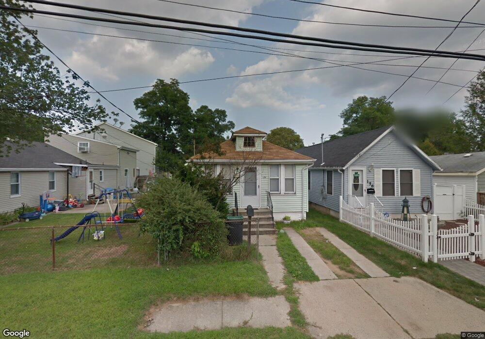
154 Hudson Ave North Middletown, NJ 07748
Estimated Value: $304,000 - $392,000
2
Beds
1
Bath
966
Sq Ft
$365/Sq Ft
Est. Value
About This Home
This home is located at 154 Hudson Ave, North Middletown, NJ 07748 and is currently estimated at $352,666, approximately $365 per square foot. 154 Hudson Ave is a home located in Monmouth County with nearby schools including Ocean Avenue Elementary School, Thorne Middle School, and Middletown High School North.
Ownership History
Date
Name
Owned For
Owner Type
Purchase Details
Closed on
Sep 20, 2001
Sold by
Kube Brian
Bought by
Quinones Ivan
Current Estimated Value
Home Financials for this Owner
Home Financials are based on the most recent Mortgage that was taken out on this home.
Original Mortgage
$75,600
Outstanding Balance
$29,351
Interest Rate
6.93%
Estimated Equity
$323,315
Create a Home Valuation Report for This Property
The Home Valuation Report is an in-depth analysis detailing your home's value as well as a comparison with similar homes in the area
Home Values in the Area
Average Home Value in this Area
Purchase History
| Date | Buyer | Sale Price | Title Company |
|---|---|---|---|
| Quinones Ivan | $84,000 | -- |
Source: Public Records
Mortgage History
| Date | Status | Borrower | Loan Amount |
|---|---|---|---|
| Open | Quinones Ivan | $75,600 |
Source: Public Records
Tax History Compared to Growth
Tax History
| Year | Tax Paid | Tax Assessment Tax Assessment Total Assessment is a certain percentage of the fair market value that is determined by local assessors to be the total taxable value of land and additions on the property. | Land | Improvement |
|---|---|---|---|---|
| 2025 | $4,769 | $330,600 | $220,000 | $110,600 |
| 2024 | $4,150 | $289,900 | $181,300 | $108,600 |
| 2023 | $4,150 | $238,800 | $159,800 | $79,000 |
| 2022 | $3,345 | $205,200 | $130,000 | $75,200 |
| 2021 | $3,345 | $160,800 | $96,300 | $64,500 |
| 2020 | $3,111 | $145,500 | $82,500 | $63,000 |
| 2019 | $3,065 | $145,100 | $82,500 | $62,600 |
| 2018 | $3,081 | $142,200 | $82,500 | $59,700 |
| 2017 | $2,854 | $130,400 | $72,500 | $57,900 |
| 2016 | $2,677 | $125,600 | $62,500 | $63,100 |
| 2015 | $2,770 | $125,500 | $62,500 | $63,000 |
| 2014 | $3,284 | $145,100 | $87,500 | $57,600 |
Source: Public Records
Map
Nearby Homes
- 280 Linden Ave
- 210 Ocean Ave
- 22 Carter Ave
- 0 Bray Ave Unit 22420777
- 0 Clinton St Unit 22238196
- 32 Dakota Ave
- 71 Bay Ave
- 0 S End Ave Unit 22420779
- 93 Monmouth Ave
- 91 Monmouth Ave
- 289 Port Monmouth Rd
- 0 Oregon Ave
- 443 Port Monmouth Rd E
- 118 Jersey Ave
- 31 Ocean Ave
- 33 New Jersey 36
- 795 Harmony Rd
- 31 Monmouth Ave
- 75 Ohio Ave
- 98 Seabreeze Ave
- 156 Hudson Ave
- 158 Hudson Ave
- 150 Hudson Ave
- 113 Cedar Ave
- 160 Hudson Ave
- 118 Sycamore Ave
- 115 Cedar Ave
- 120 Sycamore Ave
- 164 Hudson Ave
- 155 Hudson Ave
- 153 Hudson Ave
- 159 Hudson Ave
- 119 Cedar Ave Unit 121
- 126 Sycamore Ave
- 145 Hudson Ave
- 144 Hudson Ave
- 121 Cedar Ave
- 112 Cedar Ave
- 166 Hudson Ave
- 161 Hudson Ave