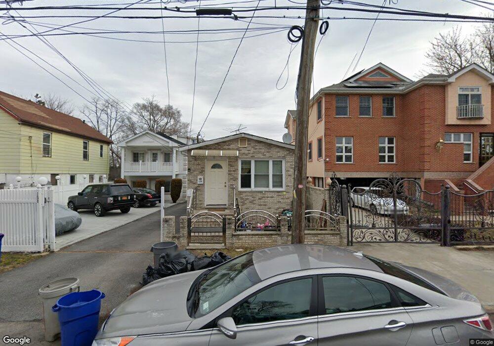
154 Husson Ave Unit 156 Bronx, NY 10473
Clason Point NeighborhoodEstimated Value: $677,000 - $808,000
--
Bed
--
Bath
1,700
Sq Ft
$435/Sq Ft
Est. Value
About This Home
This home is located at 154 Husson Ave Unit 156, Bronx, NY 10473 and is currently estimated at $739,000, approximately $434 per square foot. 154 Husson Ave Unit 156 is a home located in Bronx County with nearby schools including P.S. 182 and Holy Cross Elementary School.
Ownership History
Date
Name
Owned For
Owner Type
Purchase Details
Closed on
Mar 9, 2000
Sold by
Federal National Mortgage Association
Bought by
Awan Mohammad R
Current Estimated Value
Home Financials for this Owner
Home Financials are based on the most recent Mortgage that was taken out on this home.
Original Mortgage
$84,000
Interest Rate
8.23%
Purchase Details
Closed on
Apr 15, 1999
Sold by
Schmidt Richard
Bought by
Federal National Mortgage Association
Purchase Details
Closed on
Feb 14, 1996
Sold by
Mohamed Bibi
Bought by
Roman Jonnie
Create a Home Valuation Report for This Property
The Home Valuation Report is an in-depth analysis detailing your home's value as well as a comparison with similar homes in the area
Home Values in the Area
Average Home Value in this Area
Purchase History
| Date | Buyer | Sale Price | Title Company |
|---|---|---|---|
| Awan Mohammad R | $105,000 | The Judicial Title Ins Agenc | |
| Federal National Mortgage Association | -- | Old Republic Natl Title Ins | |
| Roman Jonnie | $150,000 | Commonwealth Land Title Ins |
Source: Public Records
Mortgage History
| Date | Status | Borrower | Loan Amount |
|---|---|---|---|
| Previous Owner | Awan Mohammad R | $84,000 |
Source: Public Records
Tax History Compared to Growth
Tax History
| Year | Tax Paid | Tax Assessment Tax Assessment Total Assessment is a certain percentage of the fair market value that is determined by local assessors to be the total taxable value of land and additions on the property. | Land | Improvement |
|---|---|---|---|---|
| 2025 | $2,778 | $29,321 | $8,776 | $20,545 |
| 2024 | $2,778 | $27,661 | $7,501 | $20,160 |
| 2023 | $2,650 | $26,096 | $7,554 | $18,542 |
| 2022 | $2,438 | $30,660 | $10,560 | $20,100 |
| 2021 | $5,182 | $30,720 | $10,560 | $20,160 |
| 2020 | $5,172 | $33,960 | $10,560 | $23,400 |
| 2019 | $4,822 | $35,040 | $10,560 | $24,480 |
| 2018 | $4,433 | $21,747 | $5,596 | $16,151 |
| 2017 | $4,183 | $20,520 | $7,462 | $13,058 |
| 2016 | $4,102 | $20,520 | $9,308 | $11,212 |
| 2015 | $2,335 | $20,362 | $11,568 | $8,794 |
| 2014 | $2,335 | $19,210 | $9,831 | $9,379 |
Source: Public Records
Map
Nearby Homes
- 127 Husson Ave
- 122 Stephens Ave
- 160 Stephens Ave
- 216 Pugsley Ave
- 109 Dolphin Ct
- 109 Fleet Ct
- 227 Stephens Ave
- 234 Betts Ave
- 100 Neptune Ln Unit 15100
- 109 Neptune Ln Unit 5
- 217 Sunset Blvd
- 250 Newman Ave
- 109 Heron Ln Unit 447
- 230 Sunset Blvd Unit 12230
- 112 Sunset Blvd Unit 11112
- 203 White Plains Rd
- 246 Soundview Ave
- 169 Surf Dr Unit 109
- 230 Fleet Ct Unit 16230
- 252 Soundview Ave
- 154-156 Husson Ave
- 158 Husson Ave
- 152 Husson Ave
- 146 Husson Ave
- 2004 Gildersleeve Ave
- 2002 Gildersleeve Ave
- 2009 Cornell Ave
- 2008 Gildersleeve Ave
- 144 Husson Ave
- 1992 Gildersleeve Ave
- 140 Husson Ave
- 159 Husson Ave
- 153 Husson Ave
- 1990 Gildersleeve Ave
- 151 Husson Ave
- 149 Husson Ave
- 138 Husson Ave
- 147 Husson Ave
- 1990A Gildersleeve Ave
- 143 Husson Ave