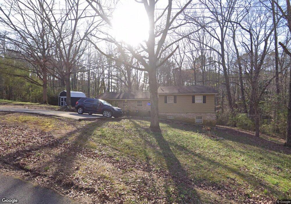
154 James St Tallapoosa, GA 30176
Estimated Value: $179,000 - $206,000
2
Beds
1
Bath
1,108
Sq Ft
$171/Sq Ft
Est. Value
About This Home
This home is located at 154 James St, Tallapoosa, GA 30176 and is currently estimated at $189,716, approximately $171 per square foot. 154 James St is a home located in Haralson County with nearby schools including Haralson County High School.
Ownership History
Date
Name
Owned For
Owner Type
Purchase Details
Closed on
Jun 23, 2011
Sold by
Bank Of North Georgia
Bought by
Jhc Properties
Current Estimated Value
Purchase Details
Closed on
Feb 1, 2011
Sold by
Walker Ronald
Bought by
Bank Of North Ga
Purchase Details
Closed on
Aug 14, 2001
Sold by
Mcclain Ronald
Bought by
Walker Ronald
Purchase Details
Closed on
Mar 5, 2001
Sold by
Williams Michael A
Bought by
Mcclain Ronald
Purchase Details
Closed on
Feb 15, 2001
Sold by
Kiker Margie
Bought by
Williams Michael A
Purchase Details
Closed on
Mar 6, 1981
Sold by
Hollingsworth H Doyl
Bought by
Kiker Margie
Create a Home Valuation Report for This Property
The Home Valuation Report is an in-depth analysis detailing your home's value as well as a comparison with similar homes in the area
Home Values in the Area
Average Home Value in this Area
Purchase History
| Date | Buyer | Sale Price | Title Company |
|---|---|---|---|
| Jhc Properties | $33,000 | -- | |
| Bank Of North Ga | -- | -- | |
| Walker Ronald | $45,000 | -- | |
| Mcclain Ronald | $35,000 | -- | |
| Williams Michael A | -- | -- | |
| Kiker Margie | $25,000 | -- |
Source: Public Records
Tax History Compared to Growth
Tax History
| Year | Tax Paid | Tax Assessment Tax Assessment Total Assessment is a certain percentage of the fair market value that is determined by local assessors to be the total taxable value of land and additions on the property. | Land | Improvement |
|---|---|---|---|---|
| 2024 | $921 | $35,502 | $4,000 | $31,502 |
| 2023 | $843 | $32,501 | $4,080 | $28,421 |
| 2022 | $707 | $26,361 | $4,080 | $22,281 |
| 2021 | $694 | $24,826 | $4,080 | $20,746 |
| 2020 | $724 | $25,791 | $4,080 | $21,711 |
| 2019 | $748 | $25,671 | $4,080 | $21,591 |
| 2018 | $759 | $25,671 | $4,080 | $21,591 |
| 2017 | $764 | $23,484 | $4,080 | $19,404 |
| 2016 | $727 | $23,721 | $4,080 | $19,641 |
| 2015 | $723 | $23,578 | $4,080 | $19,498 |
| 2014 | $722 | $23,909 | $4,080 | $19,829 |
Source: Public Records
Map
Nearby Homes
- 171 James St
- 324 Bethany St
- 35 James St
- 78 Pine Dr
- --- Steadman Rd Unit 32
- --- Steadman #32 Rd
- 0 Steadman Rd Unit 10608314
- 0 N Ridge Dr Unit 7657923
- 0 N Ridge Dr Unit 10615294
- 154 Bethany St
- 871 Cherokee Dr
- 0 Cherokee Dr Unit 148037
- 0 Creek Dr Unit 148038
- 711 Kay St
- 164 Berlin St
- 174 Faye St
- 60 + - Acres at 295 J Davis Rd
- 194 Faye St
- 622 Cedartown Ave
- 77 McDonald Rd
- 0 James St Unit 20147394
- 0 James St Unit 7504547
- 0 James St Unit 8673134
- 0 James St Unit 8314795
- 0 James St
- 172 James St
- 138 James St
- 155 James St
- 4507 Georgia Highway 100 N
- 135 James St
- 124 James St
- 5 N Jackson St
- 123 James St
- 191 James St
- 21 Jackson St
- 47 N Jackson St
- 112 James St
- 200 James St
- 111 James St
- 33 N Jackson St