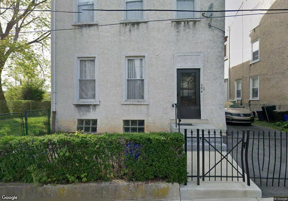
154 Krams Ave Philadelphia, PA 19127
Manayunk NeighborhoodEstimated Value: $387,000 - $661,000
4
Beds
1
Bath
3,504
Sq Ft
$161/Sq Ft
Est. Value
About This Home
This home is located at 154 Krams Ave, Philadelphia, PA 19127 and is currently estimated at $564,542, approximately $161 per square foot. 154 Krams Ave is a home located in Philadelphia County with nearby schools including White Oaks Elementary School, James Dobson Elementary School, and Roxborough High School.
Ownership History
Date
Name
Owned For
Owner Type
Purchase Details
Closed on
Jan 29, 2025
Sold by
Szabo Laszlo and Szabo Joseph L
Bought by
Szabo Kato Kati and Toshimichi Kato Toshimichi
Current Estimated Value
Purchase Details
Closed on
Apr 5, 2022
Sold by
Laszlo Szabo
Bought by
Szabo Laszlo
Purchase Details
Closed on
Feb 3, 1955
Bought by
Szulku Joseph and Szulku Julia
Create a Home Valuation Report for This Property
The Home Valuation Report is an in-depth analysis detailing your home's value as well as a comparison with similar homes in the area
Home Values in the Area
Average Home Value in this Area
Purchase History
| Date | Buyer | Sale Price | Title Company |
|---|---|---|---|
| Szabo Kato Kati | -- | None Listed On Document | |
| Szabo Laszlo | -- | None Listed On Document | |
| Szulku Joseph | -- | -- |
Source: Public Records
Tax History Compared to Growth
Tax History
| Year | Tax Paid | Tax Assessment Tax Assessment Total Assessment is a certain percentage of the fair market value that is determined by local assessors to be the total taxable value of land and additions on the property. | Land | Improvement |
|---|---|---|---|---|
| 2026 | $5,802 | $507,300 | $101,400 | $405,900 |
| 2025 | $5,802 | $507,300 | $101,400 | $405,900 |
| 2024 | $5,802 | $507,300 | $101,400 | $405,900 |
| 2023 | $5,802 | $414,500 | $82,900 | $331,600 |
| 2022 | $4,754 | $414,500 | $82,900 | $331,600 |
| 2021 | $4,754 | $0 | $0 | $0 |
| 2020 | $4,754 | $0 | $0 | $0 |
| 2019 | $4,673 | $0 | $0 | $0 |
| 2018 | $4,138 | $0 | $0 | $0 |
| 2017 | $4,138 | $0 | $0 | $0 |
| 2016 | $4,138 | $0 | $0 | $0 |
| 2015 | $3,961 | $0 | $0 | $0 |
| 2014 | -- | $295,600 | $125,080 | $170,520 |
| 2012 | -- | $24,352 | $9,919 | $14,433 |
Source: Public Records
Map
Nearby Homes
- 175 Krams Ave
- 4521 Wilde St
- 4506 Ritchie St
- 223 Dupont St
- 152 Carson St
- 142 Carson St
- 131 Carson St
- 4630 Umbria St
- 4419 Baker St
- 4523 Riverside Way
- 4413 Baker St
- 259 Krams Ave
- 244 Hermitage St
- 168 Gay St
- 348 Carson St
- 352 Carson St
- 4714 Smick St
- 2 Leverington Ave Unit 24
- 2 Leverington Ave Unit 21
- 297 Hermitage St
- 156 Krams Ave
- 158 Krams Ave
- 160 Krams Ave Unit 62
- 146 Krams Ave Unit 48
- 166 Krams Ave
- 168 Krams Ave
- 144 Mallory St
- 163 Krams Ave
- 142 Mallory St
- 161 Krams Ave
- 170 Krams Ave
- 140 Mallory St
- 138 Mallory St
- 172 Krams Ave
- 165 Krams Ave
- 167 Krams Ave
- 136 Mallory St
- 174 Krams Ave
- 171 Krams Ave
- 136 Krams Ave