Estimated Value: $359,000 - $385,746
3
Beds
2
Baths
1,331
Sq Ft
$279/Sq Ft
Est. Value
About This Home
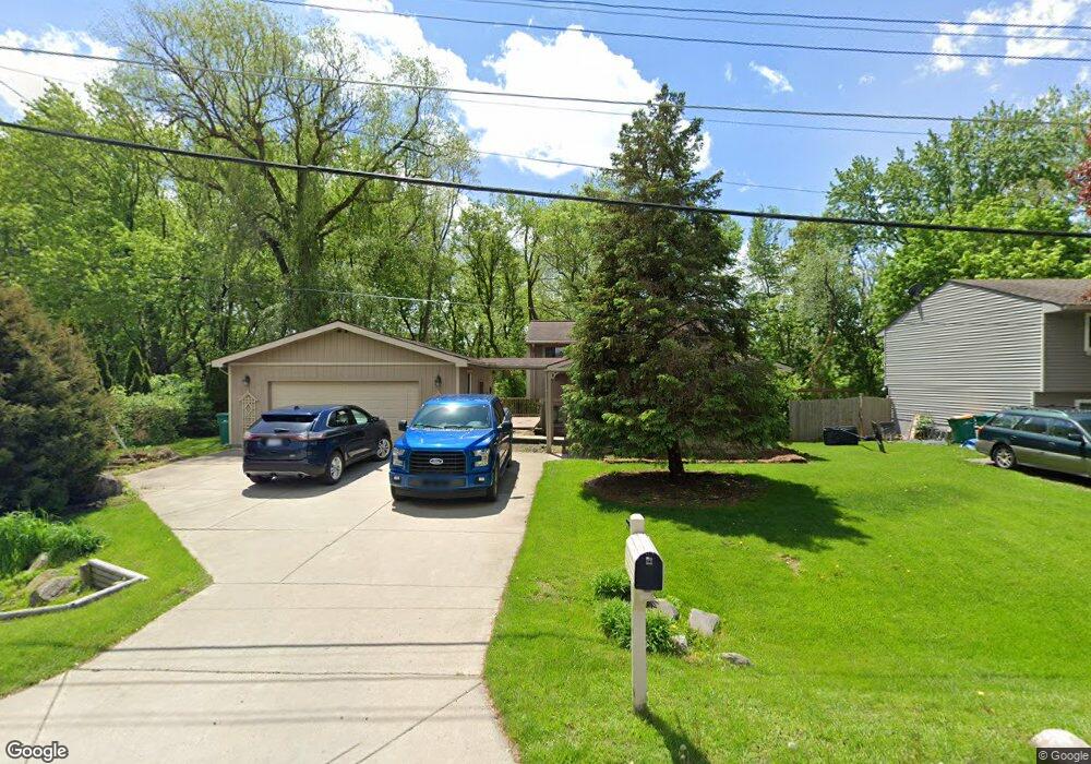
This home is located at 154 Linhart St Unit Bldg-Unit, Novi, MI 48377 and is currently estimated at $371,187, approximately $278 per square foot. 154 Linhart St Unit Bldg-Unit is a home located in Oakland County with nearby schools including Novi High School, Parkview Elementary School, and Novi Middle School.
Ownership History
Date
Name
Owned For
Owner Type
Purchase Details
Closed on
Jul 31, 2018
Sold by
Ricks Suzanne
Bought by
Lipan Michael J
Current Estimated Value
Home Financials for this Owner
Home Financials are based on the most recent Mortgage that was taken out on this home.
Original Mortgage
$207,580
Outstanding Balance
$180,275
Interest Rate
4.5%
Mortgage Type
New Conventional
Estimated Equity
$190,912
Purchase Details
Closed on
Feb 26, 2001
Sold by
Skubis Karen
Bought by
Smead Karin
Home Financials for this Owner
Home Financials are based on the most recent Mortgage that was taken out on this home.
Original Mortgage
$162,000
Interest Rate
7.13%
Mortgage Type
Purchase Money Mortgage
Purchase Details
Closed on
Jan 24, 2000
Sold by
Loch David A
Bought by
Skubis Karen
Home Financials for this Owner
Home Financials are based on the most recent Mortgage that was taken out on this home.
Original Mortgage
$149,400
Interest Rate
8.08%
Mortgage Type
Purchase Money Mortgage
Create a Home Valuation Report for This Property
The Home Valuation Report is an in-depth analysis detailing your home's value as well as a comparison with similar homes in the area
Home Values in the Area
Average Home Value in this Area
Purchase History
| Date | Buyer | Sale Price | Title Company |
|---|---|---|---|
| Lipan Michael J | $216,000 | Title One Inc | |
| Smead Karin | -- | -- | |
| Skubis Karen | $166,000 | -- |
Source: Public Records
Mortgage History
| Date | Status | Borrower | Loan Amount |
|---|---|---|---|
| Open | Lipan Michael J | $207,580 | |
| Previous Owner | Smead Karin | $162,000 | |
| Previous Owner | Skubis Karen | $149,400 |
Source: Public Records
Tax History Compared to Growth
Tax History
| Year | Tax Paid | Tax Assessment Tax Assessment Total Assessment is a certain percentage of the fair market value that is determined by local assessors to be the total taxable value of land and additions on the property. | Land | Improvement |
|---|---|---|---|---|
| 2023 | $3,498 | $134,180 | $0 | $0 |
| 2022 | $3,916 | $123,180 | $0 | $0 |
| 2020 | $3,168 | $107,950 | $23,450 | $84,500 |
| 2015 | -- | $77,200 | $0 | $0 |
| 2014 | -- | $58,850 | $0 | $0 |
| 2011 | -- | $64,300 | $0 | $0 |
Source: Public Records
Map
Nearby Homes
- 43080 Emerson Way
- 42900 Ledgeview Dr
- 28975 Hearthstone Dr
- 2094 Austin Dr
- 1815 E Lake Dr
- 28849 Hearthstone Dr Unit 84
- 28718 Quarry Ct
- 28717 Quarry Ct
- 42683 Wimbleton Way
- 41829 Steinbeck Glen
- 42012 Chalet Dr
- 10 Verona Dr
- 306 Eubank St
- 1316 E Lake Dr
- 304 Eubank St
- 41816 Lamier Dr
- 28130 Carlton Way Dr Unit 7
- 28139 Carlton Way Dr
- 41582 Mitchell Rd
- 1127 S Lake Dr Unit 205
- 154 Linhart St
- 146 Linhart St
- 136 Linhart St
- 178 Linhart St
- 128 Linhart St
- 155 Linhart St
- 145 Linhart St
- 192 Linhart St
- 135 Linhart St
- 177 Linhart St
- 120 Linhart St
- 193 Linhart St
- 43040 Emerson Way Unit 49
- 43048 Emerson Way
- 114 Linhart St
- 125 Linhart St
- 202 Linhart St
- 156 Wainwright St
- 43032 Emerson Way
- 144 Wainwright St