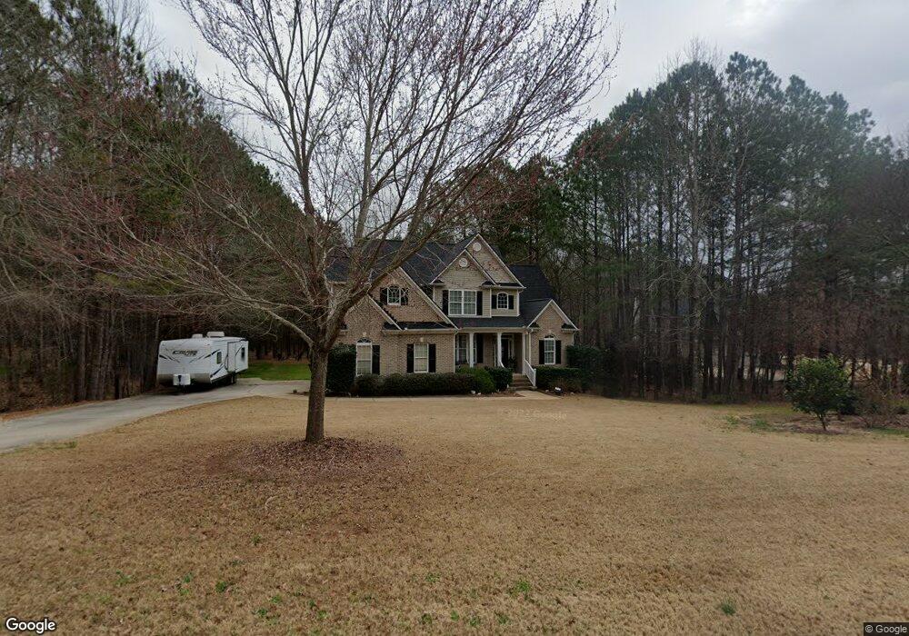
154 Loam Dr McDonough, GA 30252
Estimated Value: $348,000 - $396,000
3
Beds
3
Baths
2,317
Sq Ft
$157/Sq Ft
Est. Value
About This Home
This home is located at 154 Loam Dr, McDonough, GA 30252 and is currently estimated at $362,677, approximately $156 per square foot. 154 Loam Dr is a home located in Henry County with nearby schools including Rock Spring Elementary School, Ola Middle School, and Ola High School.
Ownership History
Date
Name
Owned For
Owner Type
Purchase Details
Closed on
Oct 27, 2014
Sold by
Youngbluth Stacey A
Bought by
Youngbluth Stacey A and Youngbluth William D
Current Estimated Value
Home Financials for this Owner
Home Financials are based on the most recent Mortgage that was taken out on this home.
Original Mortgage
$173,839
Outstanding Balance
$133,754
Interest Rate
4.12%
Mortgage Type
FHA
Estimated Equity
$228,923
Purchase Details
Closed on
Nov 5, 2009
Sold by
Crm Central Properties Llc
Bought by
Youngbluth Stacey
Home Financials for this Owner
Home Financials are based on the most recent Mortgage that was taken out on this home.
Original Mortgage
$156,593
Interest Rate
4.98%
Mortgage Type
FHA
Create a Home Valuation Report for This Property
The Home Valuation Report is an in-depth analysis detailing your home's value as well as a comparison with similar homes in the area
Home Values in the Area
Average Home Value in this Area
Purchase History
| Date | Buyer | Sale Price | Title Company |
|---|---|---|---|
| Youngbluth Stacey A | -- | -- | |
| Youngbluth Stacey | $162,000 | -- |
Source: Public Records
Mortgage History
| Date | Status | Borrower | Loan Amount |
|---|---|---|---|
| Open | Youngbluth Stacey A | $173,839 | |
| Previous Owner | Youngbluth Stacey | $156,593 |
Source: Public Records
Tax History Compared to Growth
Tax History
| Year | Tax Paid | Tax Assessment Tax Assessment Total Assessment is a certain percentage of the fair market value that is determined by local assessors to be the total taxable value of land and additions on the property. | Land | Improvement |
|---|---|---|---|---|
| 2024 | $4,680 | $154,640 | $20,000 | $134,640 |
| 2023 | $4,084 | $148,960 | $16,000 | $132,960 |
| 2022 | $4,158 | $130,720 | $16,000 | $114,720 |
| 2021 | $3,482 | $102,120 | $16,000 | $86,120 |
| 2020 | $3,468 | $101,520 | $14,800 | $86,720 |
| 2019 | $3,438 | $100,240 | $14,000 | $86,240 |
| 2018 | $3,040 | $83,840 | $12,000 | $71,840 |
| 2016 | $2,701 | $75,000 | $10,000 | $65,000 |
| 2015 | $2,642 | $71,680 | $8,000 | $63,680 |
| 2014 | $2,666 | $71,600 | $8,000 | $63,600 |
Source: Public Records
Map
Nearby Homes
- 106 Loam Dr
- 209 Amber Ct
- 180 Mackey Rd
- 170 Mackey Rd
- 41 Giles Dr
- 0 Mackey Rd Unit 10539146
- 1908 Munford Place
- 6830 Peeksville Rd
- 227 Aves Ct
- 507 Judith Ct Unit 3
- 518 Gallantry Trail
- 415 Pamela Ct
- 2001 Jefferson Way
- 4075 O Henry Ct
- 2082 Stroud Rd
- 1120 Stroud Rd
- 1100 Stroud Rd
- 88 Maddox Dr
- 78 Maddox Dr
- 68 Maddox Dr