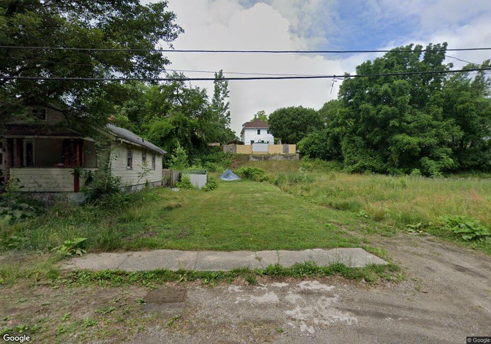
154 Louie St Toledo, OH 43609
Southside NeighborhoodEstimated Value: $40,698
2
Beds
1
Bath
612
Sq Ft
$66/Sq Ft
Est. Value
About This Home
This home is located at 154 Louie St, Toledo, OH 43609 and is currently priced at $40,698, approximately $66 per square foot. 154 Louie St is a home located in Lucas County with nearby schools including Walbridge Elementary School, Bowsher High School, and Explorers Academy of Science and Technology.
Ownership History
Date
Name
Owned For
Owner Type
Purchase Details
Closed on
Jan 25, 2022
Sold by
Lucas County Land Reutilization Corporation
Bought by
City Of Toledo An Ohio Municipal Corporation
Current Estimated Value
Purchase Details
Closed on
Mar 5, 2019
Sold by
Hudson David and Lucas County Treasurer
Bought by
Lucas County Land Reutilization Corp
Purchase Details
Closed on
Feb 5, 2007
Sold by
Hudson Calvin W
Bought by
Hudson David
Purchase Details
Closed on
Mar 26, 1998
Sold by
Beaverson Larry Wilson
Bought by
Hudson Daniel E
Purchase Details
Closed on
May 24, 1994
Sold by
Beaverson W A and B A
Create a Home Valuation Report for This Property
The Home Valuation Report is an in-depth analysis detailing your home's value as well as a comparison with similar homes in the area
Home Values in the Area
Average Home Value in this Area
Purchase History
| Date | Buyer | Sale Price | Title Company |
|---|---|---|---|
| City Of Toledo An Ohio Municipal Corporation | -- | -- | |
| Lucas County Land Reutilization Corp | -- | None Available | |
| Hudson David | -- | Attorney | |
| Hudson Daniel E | $1,200 | -- | |
| -- | -- | -- |
Source: Public Records
Tax History
| Year | Tax Paid | Tax Assessment Tax Assessment Total Assessment is a certain percentage of the fair market value that is determined by local assessors to be the total taxable value of land and additions on the property. | Land | Improvement |
|---|---|---|---|---|
| 2025 | -- | $140 | $140 | -- |
| 2024 | -- | $140 | $140 | -- |
| 2023 | $163 | $140 | $140 | $0 |
| 2022 | $0 | $140 | $140 | $0 |
| 2021 | $132 | $140 | $140 | $0 |
| 2020 | $165 | $140 | $140 | $0 |
| 2019 | $150 | $4,095 | $1,260 | $2,835 |
| 2018 | $1,071 | $4,095 | $1,260 | $2,835 |
| 2017 | $10,530 | $4,340 | $1,050 | $3,290 |
| 2016 | $8,928 | $12,400 | $3,000 | $9,400 |
| 2015 | $442 | $12,400 | $3,000 | $9,400 |
| 2014 | $421 | $4,340 | $1,050 | $3,290 |
| 2013 | $281 | $4,340 | $1,050 | $3,290 |
Source: Public Records
Map
Nearby Homes
- 213 Dale St
- 317 Eldred Ave
- 1601 Airline Ave
- 323 Champion St
- 175 Corinth St
- 119 Whiting Ave
- 140 Whiting Ave
- 535 Carlton St
- 115 Lake Shore Ave
- 445 Hiett Ave
- 1518 Buckingham St
- 1413 Colburn St
- 549 Spencer St
- 131 S Detroit Ave
- 1402 Prouty Ave
- 1441 Prouty Ave
- 1836 Finch St
- 624 Carlton St
- 142 S Detroit Ave
- 1457 Ingomar Ave
Your Personal Tour Guide
Ask me questions while you tour the home.