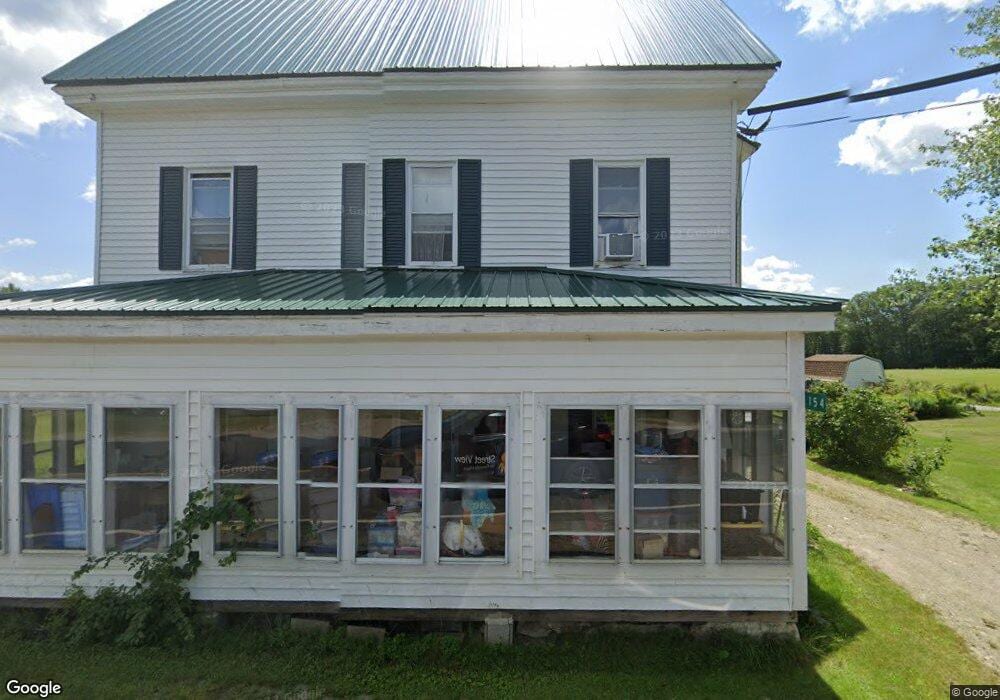
154 Main Rd Westport Island, ME 04578
Estimated Value: $732,000 - $972,000
2
Beds
--
Bath
3,450
Sq Ft
$247/Sq Ft
Est. Value
About This Home
This home is located at 154 Main Rd, Westport Island, ME 04578 and is currently estimated at $851,756, approximately $246 per square foot. 154 Main Rd is a home.
Create a Home Valuation Report for This Property
The Home Valuation Report is an in-depth analysis detailing your home's value as well as a comparison with similar homes in the area
Home Values in the Area
Average Home Value in this Area
Tax History Compared to Growth
Tax History
| Year | Tax Paid | Tax Assessment Tax Assessment Total Assessment is a certain percentage of the fair market value that is determined by local assessors to be the total taxable value of land and additions on the property. | Land | Improvement |
|---|---|---|---|---|
| 2024 | $3,340 | $451,374 | $273,814 | $177,560 |
| 2023 | $2,921 | $445,997 | $268,437 | $177,560 |
| 2022 | $3,034 | $365,573 | $220,031 | $145,542 |
| 2021 | $2,888 | $365,573 | $220,031 | $145,542 |
| 2020 | $3,277 | $365,573 | $220,031 | $145,542 |
| 2019 | $2,731 | $365,573 | $220,031 | $145,542 |
| 2018 | $3,155 | $365,573 | $220,031 | $145,542 |
| 2016 | $2,135 | $169,732 | $36,249 | $133,483 |
| 2014 | $1,244 | $165,702 | $0 | $0 |
| 2013 | $1,284 | $165,702 | $60,000 | $105,702 |
Source: Public Records
Map
Nearby Homes
- 27 Doggett Rd
- 17 Lester Rd
- 91 Lord Rd
- 285 Birch Point Rd Unit 11
- 2 Ready Point Rd
- 30 Taylor Rd
- 15 Lewis Dr
- 50 Bunchberry Ln
- 34 Bunchberry Ln
- 13 Porcupine Ln
- 00 Maine 27
- 18 High Head Rd
- 29 Mill Rd
- 664 Boothbay Rd
- 52 Eddy Rd
- 114 Fort Rd
- 67 Village Way Unit 505
- 19 Riverside Ave
- 304 Eddy Rd Unit 216
- 40 Old Bath Rd