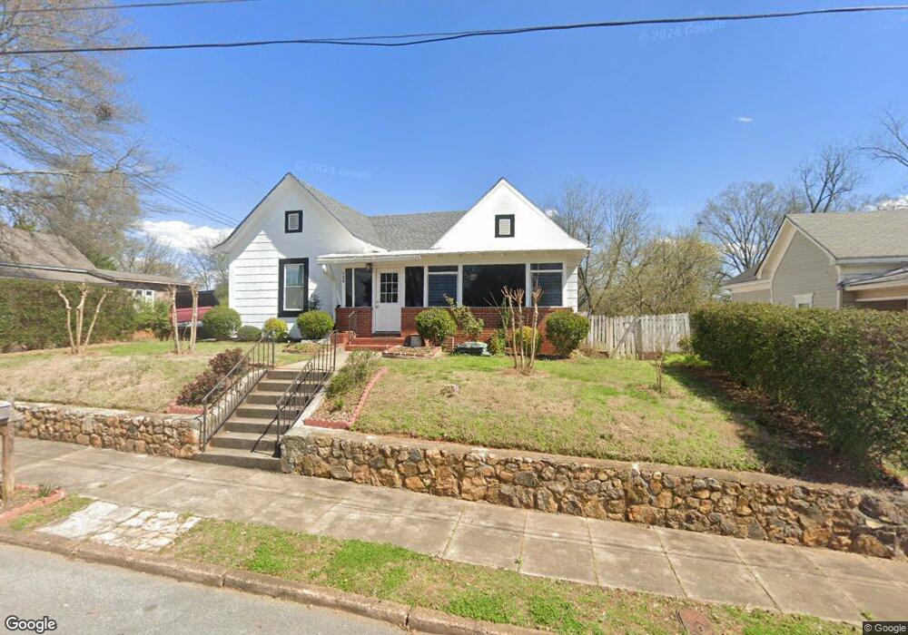
154 N Broad St Cedartown, GA 30125
Estimated Value: $170,000 - $211,000
4
Beds
3
Baths
1,685
Sq Ft
$108/Sq Ft
Est. Value
About This Home
This home is located at 154 N Broad St, Cedartown, GA 30125 and is currently estimated at $182,653, approximately $108 per square foot. 154 N Broad St is a home located in Polk County with nearby schools including Cedar Christian School.
Ownership History
Date
Name
Owned For
Owner Type
Purchase Details
Closed on
Jun 16, 2025
Sold by
Lopez Jacinta
Bought by
Lopez Iris Requel Cabrera
Current Estimated Value
Purchase Details
Closed on
Apr 11, 2014
Sold by
Mullinax Randall L
Bought by
Velasquez Jacinta Victoria Lop
Purchase Details
Closed on
Nov 5, 1999
Sold by
Warner Erick K and Warner Lisa M
Bought by
Mullinax Randall L and Mullinax Roxanne
Purchase Details
Closed on
Mar 5, 1993
Sold by
Kight Hazel Wilson
Bought by
Warner Erick K
Purchase Details
Closed on
Sep 4, 1992
Sold by
Wilson Annie Liie
Bought by
Knight Hael Wilson
Purchase Details
Closed on
Aug 18, 1975
Sold by
Wilson A M
Bought by
Wilson Annie Lizzie
Purchase Details
Closed on
Mar 28, 1925
Bought by
Wilson A M
Create a Home Valuation Report for This Property
The Home Valuation Report is an in-depth analysis detailing your home's value as well as a comparison with similar homes in the area
Home Values in the Area
Average Home Value in this Area
Purchase History
| Date | Buyer | Sale Price | Title Company |
|---|---|---|---|
| Lopez Iris Requel Cabrera | -- | -- | |
| Velasquez Jacinta Victoria Lop | $16,000 | -- | |
| Mullinax Randall L | $52,000 | -- | |
| Warner Erick K | $42,300 | -- | |
| Knight Hael Wilson | -- | -- | |
| Wilson Annie Lizzie | -- | -- | |
| Wilson A M | -- | -- |
Source: Public Records
Tax History Compared to Growth
Tax History
| Year | Tax Paid | Tax Assessment Tax Assessment Total Assessment is a certain percentage of the fair market value that is determined by local assessors to be the total taxable value of land and additions on the property. | Land | Improvement |
|---|---|---|---|---|
| 2024 | $2,382 | $75,402 | $2,200 | $73,202 |
| 2023 | $1,016 | $29,302 | $462 | $28,840 |
| 2022 | $592 | $24,950 | $462 | $24,488 |
| 2021 | $600 | $24,950 | $462 | $24,488 |
| 2020 | $601 | $24,950 | $462 | $24,488 |
| 2019 | $453 | $16,861 | $1,260 | $15,601 |
| 2018 | $446 | $16,169 | $1,080 | $15,089 |
| 2017 | $440 | $16,169 | $1,080 | $15,089 |
| 2016 | $440 | $16,169 | $1,080 | $15,089 |
| 2015 | $175 | $16,297 | $1,080 | $15,217 |
| 2014 | $359 | $13,064 | $1,080 | $11,984 |
Source: Public Records
Map
Nearby Homes
- 254 E Girard Ave
- 109 Perry St
- 208 Highland Ave
- 1101 East Ave
- 537 Fletcher St
- 144 Marshall St
- 328 330 Stubbs
- 228 Marshall St
- 328 Mountain Home Rd
- 601 Mountain Home Rd
- 427 Park St
- 408 N College St
- 214 Victoria Ave
- 217 E Gibson St
- 607 N College St
- 226 Central St
- 305 N Cave Spring St
- 421 Wissahickon Ave
- 812 Blanche Rd
- 00 Juliette St
- 148 N Broad St
- 202 N Broad St
- 603 Reeves St
- 206 N Broad St
- 138 N Broad St
- 201 N Broad St
- 131 Elizabeth St
- 133 Elizabeth St
- 212 N Broad St
- 408 N Broad St
- 127 Elizabeth St
- 134 N Broad St
- 209 Elizabeth St
- 143 N Broad St
- 0 Elizabeth St Unit 7592490
- 0 Elizabeth St Unit 5650175
- 0 Elizabeth St Unit 6927097
- 0 Elizabeth St Unit 9029670
- 0 Elizabeth St Unit 6669902
- 0 Elizabeth St Unit 8723038