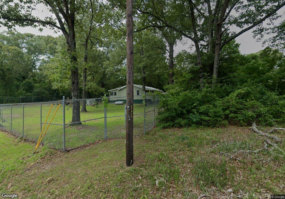
154 Phillips Drive Rd Macon, GA 31217
Estimated Value: $79,713 - $166,000
3
Beds
1
Bath
1,268
Sq Ft
$99/Sq Ft
Est. Value
About This Home
This home is located at 154 Phillips Drive Rd, Macon, GA 31217 and is currently estimated at $125,678, approximately $99 per square foot. 154 Phillips Drive Rd is a home located in Twiggs County with nearby schools including Jeffersonville Elementary School, Twiggs Middle School, and Twiggs County High School.
Ownership History
Date
Name
Owned For
Owner Type
Purchase Details
Closed on
Mar 10, 2015
Sold by
Luce Robert L
Bought by
Accolade Capital Lc
Current Estimated Value
Purchase Details
Closed on
Oct 10, 2012
Sold by
Thompson Eddy L
Bought by
Luce Robert L
Purchase Details
Closed on
Mar 13, 2001
Sold by
Thompson Sherry
Bought by
Thompson Eddy L
Purchase Details
Closed on
Aug 20, 1997
Sold by
Croy William Jeffery
Bought by
Thompson Eddy L and Thompson Sh
Create a Home Valuation Report for This Property
The Home Valuation Report is an in-depth analysis detailing your home's value as well as a comparison with similar homes in the area
Purchase History
| Date | Buyer | Sale Price | Title Company |
|---|---|---|---|
| Accolade Capital Lc | -- | -- | |
| Luce Robert L | $62,350 | -- | |
| Thompson Eddy L | -- | -- | |
| Thompson Eddy L | $47,000 | -- |
Source: Public Records
Tax History
| Year | Tax Paid | Tax Assessment Tax Assessment Total Assessment is a certain percentage of the fair market value that is determined by local assessors to be the total taxable value of land and additions on the property. | Land | Improvement |
|---|---|---|---|---|
| 2025 | $798 | $21,376 | $1,400 | $19,976 |
| 2024 | $765 | $21,376 | $1,400 | $19,976 |
| 2023 | $767 | $21,376 | $1,400 | $19,976 |
| 2022 | $773 | $21,376 | $1,400 | $19,976 |
| 2021 | $774 | $21,376 | $1,400 | $19,976 |
| 2020 | $774 | $21,376 | $1,400 | $19,976 |
| 2019 | $774 | $21,376 | $1,400 | $19,976 |
| 2018 | $710 | $21,376 | $1,400 | $19,976 |
| 2017 | $697 | $21,007 | $1,400 | $19,607 |
| 2016 | $0 | $19,607 | $0 | $19,607 |
| 2015 | -- | $22,033 | $1,400 | $20,633 |
| 2014 | -- | $22,033 | $1,400 | $20,633 |
| 2013 | -- | $24,327 | $1,400 | $22,927 |
Source: Public Records
Map
Nearby Homes
- 1108 Horseshoe Cir
- 456 Horseshoe Cir
- 29 Dolly Ln
- 123 Regina Dr
- 239 Dogwood Acres
- 13420 Georgia Highway 129
- 1100 Sapp Rd
- 497 T04 River Rd
- 497 T04 River Rd Unit LotWP001
- 1419 Griffin Rd
- 5600 Marion Rd
- 000 Parker Rd
- 120 Oneal Dr
- 200 Oneal Dr
- 319 Hawk Ct
- 317 Hawk Ct
- 312 Hawk Ct
- 412 Gray Wolf Dr
- 0 Hwy 80
- 0 Parker Rd Unit 10461595
- 100 Phillips Drive Rd
- 115 Phillips Drive Rd
- 257 Lettie Way
- 153 Hoyal Ln
- 91 Hoyal Ln
- 34 Joyce Dr
- 61 Hoyal Ln
- 250 Lettie Way
- 190 Lettie Way
- 4827 Sgoda Rd
- 58 Joyce Dr
- 1035 Horseshoe Cir
- 4499 Sgoda Rd
- 156 Lettie Way
- 91 Lettie Way
- 1033 Horseshoe Cir
- 122 Phillips Ct
- 4650 Sgoda Rd
- 4333 Sgoda Rd
- 4502 Sgoda Rd
Your Personal Tour Guide
Ask me questions while you tour the home.