154 Pier Pointe Dr Unit Olde Harbor Little River, SC 29566
Estimated Value: $506,000 - $597,000
3
Beds
4
Baths
2,237
Sq Ft
$246/Sq Ft
Est. Value
About This Home
This home is located at 154 Pier Pointe Dr Unit Olde Harbor, Little River, SC 29566 and is currently estimated at $550,730, approximately $246 per square foot. 154 Pier Pointe Dr Unit Olde Harbor is a home located in Horry County with nearby schools including Ocean Drive Elementary School, North Myrtle Beach Middle School, and North Myrtle Beach High School.
Ownership History
Date
Name
Owned For
Owner Type
Purchase Details
Closed on
Aug 9, 2013
Sold by
Mcintyre Wayne L
Bought by
Barker David Wayne
Current Estimated Value
Purchase Details
Closed on
Oct 15, 1999
Sold by
Carnel Inc
Bought by
Mcintyre Wayne L and Mcintyre Sharon A
Create a Home Valuation Report for This Property
The Home Valuation Report is an in-depth analysis detailing your home's value as well as a comparison with similar homes in the area
Home Values in the Area
Average Home Value in this Area
Purchase History
| Date | Buyer | Sale Price | Title Company |
|---|---|---|---|
| Barker David Wayne | $240,500 | -- | |
| Mcintyre Wayne L | -- | -- |
Source: Public Records
Tax History Compared to Growth
Tax History
| Year | Tax Paid | Tax Assessment Tax Assessment Total Assessment is a certain percentage of the fair market value that is determined by local assessors to be the total taxable value of land and additions on the property. | Land | Improvement |
|---|---|---|---|---|
| 2024 | $1,025 | $23,527 | $10,196 | $13,331 |
| 2023 | $1,025 | $10,594 | $2,142 | $8,452 |
| 2021 | $902 | $10,594 | $2,142 | $8,452 |
| 2020 | $792 | $10,594 | $2,142 | $8,452 |
| 2019 | $792 | $10,594 | $2,142 | $8,452 |
| 2018 | $741 | $9,770 | $2,090 | $7,680 |
| 2017 | $726 | $9,770 | $2,090 | $7,680 |
| 2016 | -- | $14,654 | $3,134 | $11,520 |
| 2015 | $3,145 | $14,655 | $3,135 | $11,520 |
| 2014 | $3,040 | $14,655 | $3,135 | $11,520 |
Source: Public Records
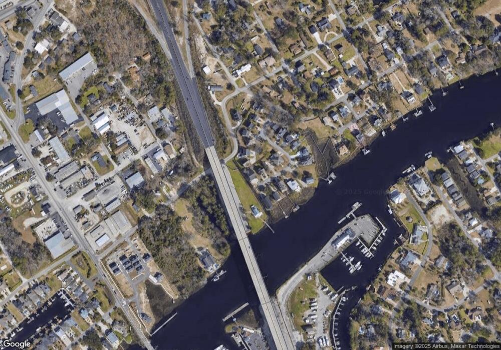
Map
Nearby Homes
- 130 Pier Pointe Dr
- 155 Pier Pointe Dr
- 202 Old Harbour Ct
- 2428 Park St
- 220 Gloucester Way
- 244 Gloucester Way
- 4385 6th Ave N
- 138 Marblehead Dr
- 141 Marblehead Dr
- 129 Marblehead Dr
- 1718 26th Ave N Unit Lot 20
- 2600 Broome Terrace
- 1712 26th Ave N
- 1716 26th Ave N
- 107 Waterway Crossing Ct
- 1513 Magnolia Dr
- 11642 S Carolina 90
- 2100 Sea Mountain Hwy Unit 522
- 2100 Sea Mountain Hwy Unit 630
- 2100 Sea Mountain Hwy Unit 200
- 154 Pier Pointe Dr Unit OLDE HARBOUR
- 154 Pier Pointe Dr
- 150 Pier Pointe Dr
- 126 Pier Pointe Dr Unit Olde Harbour
- 126 Pier Pointe Dr
- 122 Pier Pointe Dr
- 130 Pier Pointe Dr Unit 142 Pier Point Drive
- 150 Morgan Ave
- 151 Pier Pointe Dr
- 118 Pier Pointe Dr
- 147 Pier Pointe Dr
- 135 Pier Pointe Dr
- 114 Pier Pointe Dr
- 143 Pier Pointe Dr
- Parcel B Morgan Ave
- 110 Pier Pointe Dr
- 115 Pier Pointe Dr
- 119 Pier Pointe Dr
- 109 Pier Pointe Dr
- 127 Pier Pointe Dr