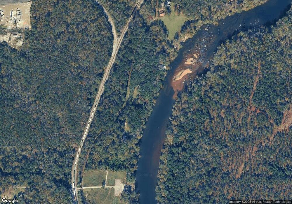
154 Popes Ferry Rd Juliette, GA 31046
Estimated Value: $255,737 - $435,000
3
Beds
2
Baths
1,976
Sq Ft
$164/Sq Ft
Est. Value
About This Home
This home is located at 154 Popes Ferry Rd, Juliette, GA 31046 and is currently estimated at $324,434, approximately $164 per square foot. 154 Popes Ferry Rd is a home with nearby schools including T.G. Scott Elementary School and Mary Persons High School.
Ownership History
Date
Name
Owned For
Owner Type
Purchase Details
Closed on
Jan 29, 2001
Sold by
Rodgers Wayne L
Bought by
Creswell Elise Dobson
Current Estimated Value
Purchase Details
Closed on
Apr 10, 1998
Sold by
Rodgers Patricia S
Bought by
Rodgers Wayne L
Purchase Details
Closed on
Feb 7, 1996
Sold by
Allen William H
Bought by
Rodgers Wayne L and Rodgers Patricia S
Purchase Details
Closed on
Nov 8, 1988
Sold by
Jarrard Howell
Bought by
Allen William H
Create a Home Valuation Report for This Property
The Home Valuation Report is an in-depth analysis detailing your home's value as well as a comparison with similar homes in the area
Home Values in the Area
Average Home Value in this Area
Purchase History
| Date | Buyer | Sale Price | Title Company |
|---|---|---|---|
| Creswell Elise Dobson | $157,000 | -- | |
| Rodgers Wayne L | -- | -- | |
| Rodgers Wayne L | $96,500 | -- | |
| Allen William H | $80,000 | -- |
Source: Public Records
Tax History Compared to Growth
Tax History
| Year | Tax Paid | Tax Assessment Tax Assessment Total Assessment is a certain percentage of the fair market value that is determined by local assessors to be the total taxable value of land and additions on the property. | Land | Improvement |
|---|---|---|---|---|
| 2024 | $1,497 | $53,160 | $14,160 | $39,000 |
| 2023 | $1,318 | $46,720 | $14,160 | $32,560 |
| 2022 | $1,265 | $46,720 | $14,160 | $32,560 |
| 2021 | $1,309 | $46,720 | $14,160 | $32,560 |
| 2020 | $1,342 | $46,720 | $14,160 | $32,560 |
| 2019 | $1,353 | $46,720 | $14,160 | $32,560 |
| 2018 | $1,357 | $46,720 | $14,160 | $32,560 |
| 2017 | $1,358 | $46,720 | $14,160 | $32,560 |
| 2016 | $1,291 | $46,720 | $14,160 | $32,560 |
| 2015 | $1,218 | $46,480 | $10,880 | $35,600 |
| 2014 | $1,175 | $46,480 | $10,880 | $35,600 |
Source: Public Records
Map
Nearby Homes
- 0 Pea Ridge Rd Unit 10432504
- 0 Pea Ridge Rd Unit 177687
- 625 Rum Creek Rd
- 0 Rum Creek Rd Unit 10564676
- 0 Rum Creek Rd Unit 24151025
- 176 Tumbling Shoals Dr
- 184 Tumbling Shoals Dr
- 125 Tumbling Shoals Dr
- 133 Searcy Dr
- 303 Tumbling Shoals Ct
- 894 Georgia 18
- 337 Searcy Dr
- 502 Old Dames Ferry Rd
- 0 Old Dames Ferry Rd Unit 10636861
- 464 Old Dames Ferry Rd
- 8529 Georgia 87
- 6069 Dames Ferry Rd
- 118 Weatherford Place
- 144 Popes Ferry Ln
- 0 Pea Ridge Rd Unit 157611
- 0 Pea Ridge Rd Unit 155852
- 0 Pea Ridge Rd Unit 146195
- 0 Pea Ridge Rd Unit 1-E 147534
- 0 Pea Ridge Rd Unit 1A 147563
- 0 Pea Ridge Rd Unit 124076
- 0 Pea Ridge Rd Unit 7226558
- 0 Pea Ridge Rd Unit M161406
- 0 Pea Ridge Rd Unit 9020231
- 0 Pea Ridge Rd Unit IE 8350246
- 0 Pea Ridge Rd Unit Parcel 4A 8376738
- 0 Pea Ridge Rd Unit 8924277
- 0 Pea Ridge Rd Unit M135121
- 0 Pea Ridge Rd Unit M143781
- 0 Pea Ridge Rd Unit 1-E M147534
- 0 Pea Ridge Rd Unit 1A M147563
- 0 Pea Ridge Rd Unit 7072473
- 0 Pea Ridge Rd Unit 7191440
- 0 Pea Ridge Rd Unit 148204
