154 Robbins Rd Pilesgrove, NJ 08098
Estimated Value: $270,887 - $587,000
--
Bed
--
Bath
1,300
Sq Ft
$312/Sq Ft
Est. Value
About This Home
This home is located at 154 Robbins Rd, Pilesgrove, NJ 08098 and is currently estimated at $405,972, approximately $312 per square foot. 154 Robbins Rd is a home located in Salem County with nearby schools including Mary S. Shoemaker School, Woodstown Middle School, and Woodstown High School.
Ownership History
Date
Name
Owned For
Owner Type
Purchase Details
Closed on
Feb 24, 2010
Sold by
Jarman Erma C and Jarman Claude S
Bought by
Township Of Pilesgrove
Current Estimated Value
Purchase Details
Closed on
Feb 23, 2010
Sold by
Jarman Erma C and Jarman Claude S
Bought by
Brooks Elaine S and Brooks George L
Create a Home Valuation Report for This Property
The Home Valuation Report is an in-depth analysis detailing your home's value as well as a comparison with similar homes in the area
Home Values in the Area
Average Home Value in this Area
Purchase History
| Date | Buyer | Sale Price | Title Company |
|---|---|---|---|
| Township Of Pilesgrove | -- | -- | |
| Brooks Eliane S | -- | -- | |
| Brooks Elaine S | -- | -- |
Source: Public Records
Tax History Compared to Growth
Tax History
| Year | Tax Paid | Tax Assessment Tax Assessment Total Assessment is a certain percentage of the fair market value that is determined by local assessors to be the total taxable value of land and additions on the property. | Land | Improvement |
|---|---|---|---|---|
| 2025 | $7,074 | $193,500 | $71,600 | $121,900 |
| 2024 | $7,177 | $193,500 | $71,600 | $121,900 |
| 2023 | $7,177 | $193,500 | $71,600 | $121,900 |
| 2022 | $6,761 | $193,500 | $71,600 | $121,900 |
| 2021 | $6,287 | $193,500 | $71,600 | $121,900 |
| 2020 | $6,287 | $193,500 | $71,600 | $121,900 |
| 2019 | $6,103 | $193,500 | $71,600 | $121,900 |
| 2018 | $5,859 | $193,500 | $71,600 | $121,900 |
| 2017 | $5,668 | $193,500 | $71,600 | $121,900 |
| 2016 | $5,437 | $193,500 | $71,600 | $121,900 |
| 2015 | $5,031 | $193,500 | $71,600 | $121,900 |
| 2014 | $4,845 | $193,500 | $71,600 | $121,900 |
Source: Public Records
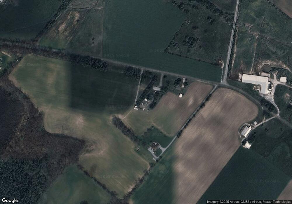
Map
Nearby Homes
- 752 Yorketown Rd
- 0 Yorketown Rd Unit NJSA139926
- 276 Woodstown Daretown Rd
- 0 Williams Rd Unit NJSA2016550
- 150 Williams Rd
- 141 Yorketown Rd
- 340 Woodstown Daretown Rd
- 332 Daretown Rd
- 399 Pierson Rd
- 0 Alloway Woodstown Rd Unit NJSA2017534
- 440 Bailey St
- 438 Bailey St
- 444 S Main St
- 178 E Millbrooke Ave
- 236 E Lake Rd
- 13 Alloway Rd
- 22 Alloway Rd
- 64 W Millbrooke Ave
- 17 Aldine Shirley Rd
- 51 Maple Ct
- 158 Robbins Rd
- 0 Davis Rd Unit 5331511
- 0 Davis Rd Unit 1008459884
- 118 Robbins Rd
- 127 Robbins Rd
- 15 Commissioners Pike
- 191 Robbins Rd
- 197 Robbins Rd
- 102 Robbins Rd
- 0 Commissioners Pike Unit 1006330950
- 0 Commissioners Pike Unit 5252357
- 0 Commissioners Pike Unit 5331522
- 0 Commissioners Pike Unit 6264132
- 0 Commissioners Pike Unit 6649204
- 0 Commissioners Pike Unit 6872096
- 101 Robbins Rd
- 450 Commissioners Pike
- 49 Davis Rd
- 487 Commissioners Pike
- 53 Davis Rd