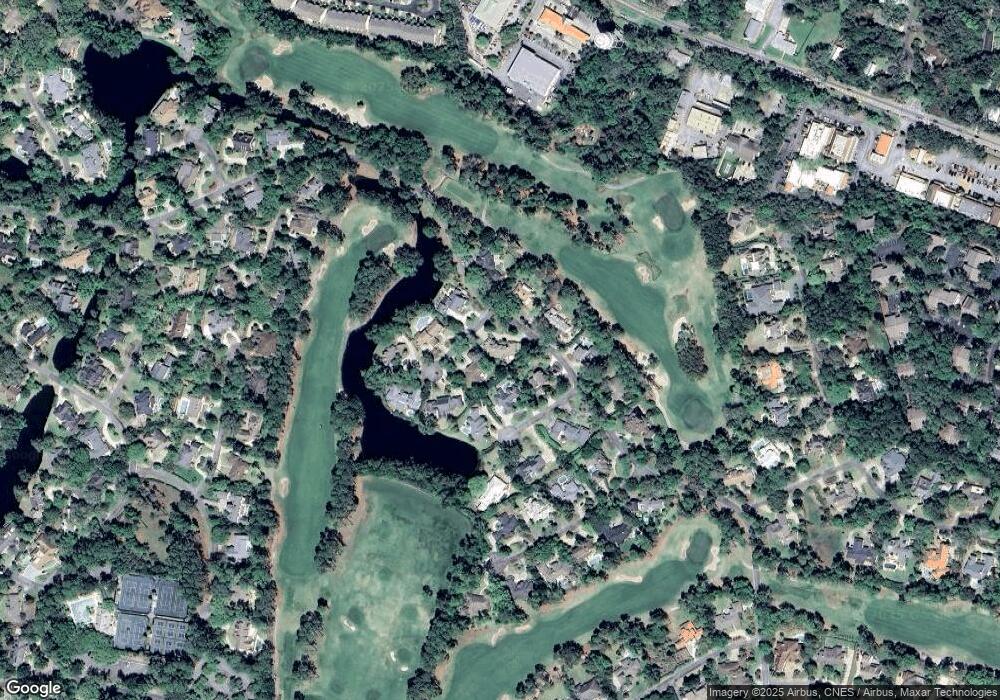
154 Saint Andrews Saint Simons Island, GA 31522
Estimated Value: $1,804,000 - $1,895,000
5
Beds
5
Baths
4,409
Sq Ft
$422/Sq Ft
Est. Value
About This Home
This home is located at 154 Saint Andrews, Saint Simons Island, GA 31522 and is currently estimated at $1,860,063, approximately $421 per square foot. 154 Saint Andrews is a home located in Glynn County with nearby schools including St. Simons Elementary School, Glynn Middle School, and Glynn Academy.
Ownership History
Date
Name
Owned For
Owner Type
Purchase Details
Closed on
Apr 27, 2011
Sold by
Coptsias Mark R
Bought by
Norrett William A and Norrett Molly Moroney
Current Estimated Value
Purchase Details
Closed on
Jun 18, 2009
Sold by
Lovell Carolyn Howell
Bought by
Coptsias Mark R and Coptsias Leslie F
Home Financials for this Owner
Home Financials are based on the most recent Mortgage that was taken out on this home.
Original Mortgage
$900,000
Interest Rate
4.79%
Mortgage Type
Construction
Create a Home Valuation Report for This Property
The Home Valuation Report is an in-depth analysis detailing your home's value as well as a comparison with similar homes in the area
Home Values in the Area
Average Home Value in this Area
Purchase History
| Date | Buyer | Sale Price | Title Company |
|---|---|---|---|
| Norrett William A | $1,185,000 | -- | |
| Coptsias Mark R | $655,000 | -- |
Source: Public Records
Mortgage History
| Date | Status | Borrower | Loan Amount |
|---|---|---|---|
| Previous Owner | Coptsias Mark R | $900,000 |
Source: Public Records
Tax History Compared to Growth
Tax History
| Year | Tax Paid | Tax Assessment Tax Assessment Total Assessment is a certain percentage of the fair market value that is determined by local assessors to be the total taxable value of land and additions on the property. | Land | Improvement |
|---|---|---|---|---|
| 2025 | $15,286 | $609,520 | $170,000 | $439,520 |
| 2024 | $14,449 | $576,120 | $156,000 | $420,120 |
| 2023 | $6,275 | $576,120 | $156,000 | $420,120 |
| 2022 | $6,792 | $382,520 | $147,000 | $235,520 |
| 2021 | $7,000 | $316,400 | $85,520 | $230,880 |
| 2020 | $7,064 | $316,400 | $85,520 | $230,880 |
| 2019 | $7,064 | $316,400 | $85,520 | $230,880 |
| 2018 | $6,340 | $316,400 | $85,520 | $230,880 |
| 2017 | $6,340 | $271,240 | $85,520 | $185,720 |
| 2016 | $5,859 | $271,320 | $85,520 | $185,800 |
| 2015 | $5,859 | $271,480 | $85,520 | $185,960 |
| 2014 | $5,859 | $271,480 | $85,520 | $185,960 |
Source: Public Records
Map
Nearby Homes
- 107 Pine Tree
- 102 Troon
- 202 Medinah
- 112 Biltmore
- 2513 Demere Rd Unit 8
- 2513 Demere Rd Unit 1
- 105 Biltmore
- 2512 Demere Rd Unit 7
- 302 Lantern Walk
- 2504 Demere Rd Unit 2
- 116 Ashwood Way
- 2502 Demere Rd Unit 3
- 158 Merion
- 306 Reserve Ln
- 223 Medinah
- 603 W Island Square Dr
- 143 S Island Square Dr
- 132 S Island Square Dr
- 104 Ashwood Way
- 137 Merion
- 103 Gleneagles
- 103 Gleneagles
- 0 Gleneagles
- 156 Saint Andrews
- 155 Saint Andrews
- 102 Spyglass
- 153 Saint Andrews
- 100 Gleneagles
- 155 St Andrewss
- 102 Gleneagles
- 105 Gleneagles
- 104 Spyglass
- 151 Saint Andrews
- 157 Saint Andrews
- 57 Spyglass Ln
- 158 Saint Andrews
- 104 Gleneagles
- 106 Gleneagles
- 103 Spyglass
- 159 St Andrews
