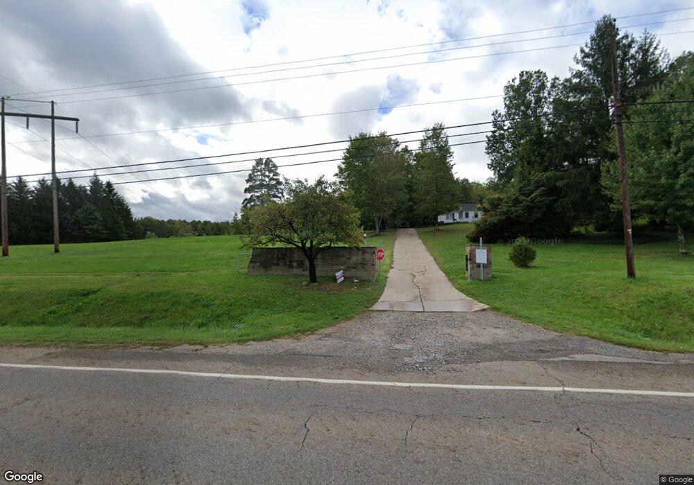
154 State Route 303 Streetsboro, OH 44241
Estimated Value: $509,549 - $856,000
4
Beds
4
Baths
3,124
Sq Ft
$199/Sq Ft
Est. Value
About This Home
This home is located at 154 State Route 303, Streetsboro, OH 44241 and is currently estimated at $621,137, approximately $198 per square foot. 154 State Route 303 is a home located in Portage County with nearby schools including Henry Defer Intermediate Elementary School, Streetsboro Middle School, and Streetsboro High School.
Ownership History
Date
Name
Owned For
Owner Type
Purchase Details
Closed on
Apr 9, 2003
Sold by
Lasser Robert P and Lasser Judie Fall
Bought by
Lasser Realty Llc
Current Estimated Value
Purchase Details
Closed on
Jan 16, 2003
Sold by
Adams Joseph J and Adams Sarah C
Bought by
Lasser Robert P and Lasser Judie Fall
Purchase Details
Closed on
Nov 18, 1988
Bought by
Adams Joseph J and Adams Sarah C
Create a Home Valuation Report for This Property
The Home Valuation Report is an in-depth analysis detailing your home's value as well as a comparison with similar homes in the area
Home Values in the Area
Average Home Value in this Area
Purchase History
| Date | Buyer | Sale Price | Title Company |
|---|---|---|---|
| Lasser Realty Llc | -- | Midland Commerce Group Stow | |
| Lasser Robert P | $585,000 | Midland Commerce Group Stow | |
| Adams Joseph J | $225,000 | -- |
Source: Public Records
Tax History Compared to Growth
Tax History
| Year | Tax Paid | Tax Assessment Tax Assessment Total Assessment is a certain percentage of the fair market value that is determined by local assessors to be the total taxable value of land and additions on the property. | Land | Improvement |
|---|---|---|---|---|
| 2024 | $6,282 | $149,030 | $46,340 | $102,690 |
| 2023 | $6,321 | $122,710 | $43,890 | $78,820 |
| 2022 | $6,332 | $122,710 | $43,890 | $78,820 |
| 2021 | $6,395 | $122,710 | $43,890 | $78,820 |
| 2020 | $6,136 | $107,980 | $43,890 | $64,090 |
| 2019 | $6,193 | $107,980 | $43,890 | $64,090 |
| 2018 | $5,228 | $97,300 | $43,890 | $53,410 |
| 2017 | $4,979 | $97,300 | $43,890 | $53,410 |
| 2016 | $4,954 | $97,300 | $43,890 | $53,410 |
| 2015 | $4,991 | $97,300 | $43,890 | $53,410 |
| 2014 | $5,005 | $97,300 | $43,890 | $53,410 |
| 2013 | $5,014 | $97,300 | $43,890 | $53,410 |
Source: Public Records
Map
Nearby Homes
- 139 Mccracken Rd
- 9085 Sandpiper Dr
- 9005 Sandpiper Dr
- 9011 Wood Thursh
- 8929 Falcon Dr
- 6167 Burr Oak Way
- 701 Gold Leaf Ct
- 9381 Hickory Ridge Dr
- 792 State Route 303
- 939 State Route 303
- 9251 Chestnut Ct
- 9247 Chestnut Ct
- 1011 Ashwood Ln
- 1013 Ashwood Ln
- 572 David Dr
- 708 Diane Ave
- 10252 Wellman Rd Unit 8
- 10101 Ravenwood Ct
- 1159 Shawnee Trail
- 10131 Buckhorn Trail
- 192 State Route 303
- 187 State Route 303 Unit W12
- 187 State Route 303
- 151 State Route 303
- 193 State Route 303
- 38 State Route 303
- 105 State Route 303
- 38 VL Ohio 303
- 223 State Route 303
- 233 State Route 303
- 6625 Stone Rd
- 249 State Route 303
- 241 State Route 303
- 6611 Stone Rd
- 2851 E Streetsboro Rd
- 6666 Stone Rd
- 6700 Stone Rd
- 6599 Stone Rd
- 273 State Route 303
- 6630 Stone Rd