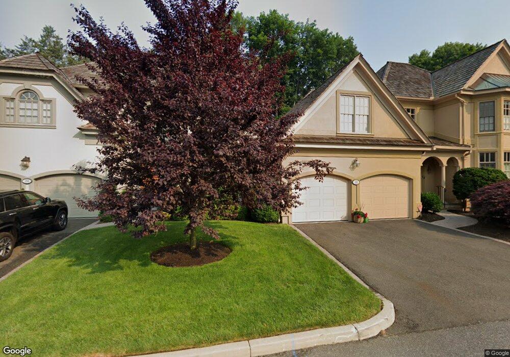
154 Stillson Rd Fairfield, CT 06825
Fairfield Woods NeighborhoodEstimated Value: $1,002,000 - $1,326,000
3
Beds
3
Baths
2,995
Sq Ft
$397/Sq Ft
Est. Value
About This Home
This home is located at 154 Stillson Rd, Fairfield, CT 06825 and is currently estimated at $1,190,399, approximately $397 per square foot. 154 Stillson Rd is a home located in Fairfield County with nearby schools including Jennings Elementary School, Fairfield Woods Middle School, and Fairfield Warde High School.
Ownership History
Date
Name
Owned For
Owner Type
Purchase Details
Closed on
Aug 4, 1995
Sold by
Heritage Oaks Corp
Bought by
Pinto Richard L
Current Estimated Value
Home Financials for this Owner
Home Financials are based on the most recent Mortgage that was taken out on this home.
Original Mortgage
$320,000
Interest Rate
7.48%
Mortgage Type
Unknown
Create a Home Valuation Report for This Property
The Home Valuation Report is an in-depth analysis detailing your home's value as well as a comparison with similar homes in the area
Home Values in the Area
Average Home Value in this Area
Purchase History
| Date | Buyer | Sale Price | Title Company |
|---|---|---|---|
| Pinto Richard L | $401,000 | -- | |
| Pinto Richard L | $401,000 | -- |
Source: Public Records
Mortgage History
| Date | Status | Borrower | Loan Amount |
|---|---|---|---|
| Closed | Pinto Richard L | $270,000 | |
| Closed | Pinto Richard L | $320,000 |
Source: Public Records
Tax History Compared to Growth
Tax History
| Year | Tax Paid | Tax Assessment Tax Assessment Total Assessment is a certain percentage of the fair market value that is determined by local assessors to be the total taxable value of land and additions on the property. | Land | Improvement |
|---|---|---|---|---|
| 2025 | $14,122 | $497,420 | $0 | $497,420 |
| 2024 | $13,878 | $497,420 | $0 | $497,420 |
| 2023 | $13,684 | $497,420 | $0 | $497,420 |
| 2022 | $13,550 | $497,420 | $0 | $497,420 |
| 2021 | $13,420 | $497,420 | $0 | $497,420 |
| 2020 | $16,499 | $615,860 | $0 | $615,860 |
| 2019 | $16,499 | $615,860 | $0 | $615,860 |
| 2018 | $16,234 | $615,860 | $0 | $615,860 |
| 2017 | $15,902 | $615,860 | $0 | $615,860 |
| 2016 | $15,674 | $615,860 | $0 | $615,860 |
| 2015 | $14,137 | $570,290 | $0 | $570,290 |
| 2014 | $13,915 | $570,290 | $0 | $570,290 |
Source: Public Records
Map
Nearby Homes
- 31 High Ridge Rd
- 28 Stillson Place
- 210 Pansy Rd
- 706 Judd St
- 115 Mayfair Rd
- 79 Mayfair Rd
- 67 Campfield Dr
- 2107 N Benson Rd
- 41 Pepperbush Ln
- 180 Oakwood Dr
- 1137 Stillson Rd
- 359 Reid St
- 1165 Stillson Rd
- 376 Knapps Hwy
- 1335 Black Rock Turnpike
- 108 Roseville St
- 1207 Stillson Rd
- 279 Knapps Hwy
- 197 Vesper St
- 183 Vesper St
- 152 Stillson Rd
- 152 Stillson Rd Unit 152
- 170 Stillson Rd
- 170 Stillson Rd Unit 170
- 160 Stillson Rd
- 162 Stillson Rd
- 162 Stillson Rd Unit 162
- 144 Stillson Rd
- 144 Stillson Rd Unit 144
- 1435 Wood Ave
- 1435 Fairfield Woods Rd
- 164 Stillson Rd
- 164 Stillson Rd Unit 164
- 172 Stillson Rd
- 172 Stillson Rd Unit 172
- 142 Stillson Rd
- 140 Stillson Rd
- 140 Stillson Rd Unit 140
- 174 Stillson Rd
- 174 Stillson Rd Unit 174