154 Tuttle Rd Southbury, CT 06488
Estimated Value: $520,000 - $646,000
4
Beds
2
Baths
2,168
Sq Ft
$268/Sq Ft
Est. Value
About This Home
This home is located at 154 Tuttle Rd, Southbury, CT 06488 and is currently estimated at $581,297, approximately $268 per square foot. 154 Tuttle Rd is a home located in New Haven County with nearby schools including Long Meadow Elementary School, Memorial Middle School, and Pomperaug Regional High School.
Ownership History
Date
Name
Owned For
Owner Type
Purchase Details
Closed on
Jul 20, 2017
Sold by
Canfield Kenneth and Canfield Anita
Bought by
Canfield Kenneth and Canfield Anita
Current Estimated Value
Purchase Details
Closed on
Jan 19, 1995
Sold by
Gniazdowski Walter and Gniazdowski Judith
Bought by
Canfield Kenneth
Home Financials for this Owner
Home Financials are based on the most recent Mortgage that was taken out on this home.
Original Mortgage
$100,000
Interest Rate
9.16%
Mortgage Type
Unknown
Create a Home Valuation Report for This Property
The Home Valuation Report is an in-depth analysis detailing your home's value as well as a comparison with similar homes in the area
Home Values in the Area
Average Home Value in this Area
Purchase History
| Date | Buyer | Sale Price | Title Company |
|---|---|---|---|
| Canfield Kenneth | -- | -- | |
| Canfield Kenneth | $160,000 | -- |
Source: Public Records
Mortgage History
| Date | Status | Borrower | Loan Amount |
|---|---|---|---|
| Previous Owner | Canfield Kenneth | $59,000 | |
| Previous Owner | Canfield Kenneth | $100,000 | |
| Previous Owner | Canfield Kenneth | $140,000 |
Source: Public Records
Tax History Compared to Growth
Tax History
| Year | Tax Paid | Tax Assessment Tax Assessment Total Assessment is a certain percentage of the fair market value that is determined by local assessors to be the total taxable value of land and additions on the property. | Land | Improvement |
|---|---|---|---|---|
| 2025 | $7,024 | $290,240 | $84,680 | $205,560 |
| 2024 | $6,850 | $290,240 | $84,680 | $205,560 |
| 2023 | $6,530 | $290,240 | $84,680 | $205,560 |
| 2022 | $6,270 | $218,940 | $77,970 | $140,970 |
| 2021 | $6,415 | $218,940 | $77,970 | $140,970 |
| 2020 | $6,415 | $218,940 | $77,970 | $140,970 |
| 2019 | $6,371 | $218,940 | $77,970 | $140,970 |
| 2018 | $6,349 | $218,940 | $77,970 | $140,970 |
| 2017 | $5,481 | $187,050 | $81,190 | $105,860 |
| 2016 | $5,387 | $187,050 | $81,190 | $105,860 |
| 2015 | $5,312 | $187,050 | $81,190 | $105,860 |
| 2014 | $5,163 | $187,050 | $81,190 | $105,860 |
Source: Public Records
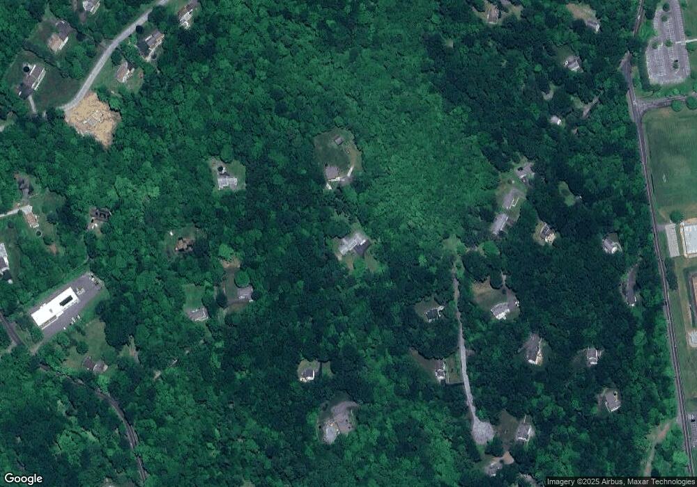
Map
Nearby Homes
- 74 Blueberry Ln
- 56 Blueberry Ln
- 1088 Old Waterbury Rd
- 295 Old Woodbury Rd
- 541 Judd Rd
- 919 Strongtown Rd
- 0 N Benson Rd Unit 48 24129196
- 0 N Benson Rd Unit 50 24118969
- 0 N Benson Rd Unit 51 24117506
- 0 N Benson Rd Unit 59 24116892
- 0 N Benson Rd Unit 44 24109951
- 0 N Benson Rd Unit 52 24100213
- 0 N Benson Rd Unit 47 24099635
- 0 N Benson Rd Unit 46 24097231
- 0 N Benson Rd Unit 49 24096137
- 0 N Benson Rd Unit 66 24093726
- 0 N Benson Rd Unit 45 24089121
- 0 N Benson Rd Unit 53 24086541
- 0 N Benson Rd Unit 55 24086408
- 0 N Benson Rd Unit 64 24077175