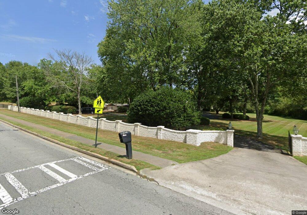
1540 Ben King Rd NW Kennesaw, GA 30144
Estimated Value: $448,000 - $642,000
4
Beds
3
Baths
3,881
Sq Ft
$146/Sq Ft
Est. Value
About This Home
This home is located at 1540 Ben King Rd NW, Kennesaw, GA 30144 and is currently estimated at $567,327, approximately $146 per square foot. 1540 Ben King Rd NW is a home located in Cobb County with nearby schools including Kennesaw Elementary School, Big Shanty Elementary School, and Palmer Middle School.
Ownership History
Date
Name
Owned For
Owner Type
Purchase Details
Closed on
Apr 14, 2023
Sold by
Brown Cecil Newton and Cecil & Virginia-Rown Family Trust
Bought by
Brown Cecil Newton and Brown Melanie V
Current Estimated Value
Purchase Details
Closed on
Dec 19, 2013
Sold by
Brown Virginia A
Bought by
The Cecil & Virginia Brown Fam
Create a Home Valuation Report for This Property
The Home Valuation Report is an in-depth analysis detailing your home's value as well as a comparison with similar homes in the area
Home Values in the Area
Average Home Value in this Area
Purchase History
| Date | Buyer | Sale Price | Title Company |
|---|---|---|---|
| Brown Cecil Newton | -- | None Listed On Document | |
| Brown Cecil Newton | -- | None Listed On Document | |
| The Cecil & Virginia Brown Fam | -- | -- |
Source: Public Records
Tax History Compared to Growth
Tax History
| Year | Tax Paid | Tax Assessment Tax Assessment Total Assessment is a certain percentage of the fair market value that is determined by local assessors to be the total taxable value of land and additions on the property. | Land | Improvement |
|---|---|---|---|---|
| 2025 | $3,779 | $430,436 | $219,948 | $210,488 |
| 2024 | $3,633 | $378,444 | $186,112 | $192,332 |
| 2023 | $4,975 | $165,016 | $37,860 | $127,156 |
| 2022 | $4,446 | $146,504 | $19,348 | $127,156 |
| 2021 | $3,765 | $124,060 | $19,348 | $104,712 |
| 2020 | $3,753 | $123,644 | $18,932 | $104,712 |
| 2019 | $3,352 | $110,460 | $16,828 | $93,632 |
| 2018 | $3,352 | $110,460 | $16,828 | $93,632 |
| 2017 | $769 | $108,352 | $14,720 | $93,632 |
| 2016 | $773 | $108,352 | $14,720 | $93,632 |
| 2015 | $756 | $88,296 | $14,720 | $73,576 |
| 2014 | $769 | $88,296 | $0 | $0 |
Source: Public Records
Map
Nearby Homes
- 3065 Kings Dr NW
- 2987 Carrie Farm Rd NW
- 2160 Towne Manor Dr NW
- 1035 Towne Manor Ct NW
- 2979 Carrie Farm Rd NW Unit I
- 2804 Vintage Wood Way NW
- The Kennedy Plan at Devin's Shire
- The Kingsley Plan at Devin's Shire
- The Kensington Plan at Devin's Shire
- 1614 Vinebrook Terrace NW
- 3341 Verdi Ln
- 3322 Cranston Ln
- 3080 Pine Hill Dr NW
- 3185 Country Club Ct NW
- 1861 Grant Ct NW Unit 2
- 1871 Grant Ct NW
- 1922 Appian Alley
- Kaufman Plan at East Park Village
- 3336 Cranston Ln
- 3344 Cranston Ln
- 1580 Ben King Rd NW
- 1522 Ben King Rd NW
- 1532 Ben King Rd NW
- 1526 Ben King Rd NW
- 3100 Kings Dr NW
- 3090 Kings Dr NW
- 3080 Kings Dr NW
- 3070 Kings Dr NW
- 1520 Ben King Rd NW
- 0 Kings Dr Unit 8143337
- 0 Kings Dr
- 3060 Kings Dr NW
- 1510 Ben King Rd NW
- 1646 Carrie Farm Ln NW
- 1648 Carrie Farm Ln NW Unit 2
- 1642 Carrie Farm Ln NW
- 1650 Carrie Farm Ln NW
- 1650 Carrie Farm Ln NW Unit 1
- 3105 Kings Dr NW
- 3050 Kings Dr NW