Estimated Value: $249,000 - $322,844
3
Beds
2
Baths
1,634
Sq Ft
$183/Sq Ft
Est. Value
About This Home
This home is located at 1540 Butter Rd, Dover, PA 17315 and is currently estimated at $298,961, approximately $182 per square foot. 1540 Butter Rd is a home located in York County with nearby schools including Dover Area High School and Lighthouse Christian School.
Ownership History
Date
Name
Owned For
Owner Type
Purchase Details
Closed on
Jul 28, 2005
Sold by
Love Monica J and Love Mark D
Bought by
Love Mark D and Love Monica J
Current Estimated Value
Home Financials for this Owner
Home Financials are based on the most recent Mortgage that was taken out on this home.
Original Mortgage
$136,000
Outstanding Balance
$43,500
Interest Rate
5.63%
Mortgage Type
New Conventional
Estimated Equity
$255,461
Purchase Details
Closed on
Apr 21, 1992
Bought by
Love Monica J
Create a Home Valuation Report for This Property
The Home Valuation Report is an in-depth analysis detailing your home's value as well as a comparison with similar homes in the area
Home Values in the Area
Average Home Value in this Area
Purchase History
| Date | Buyer | Sale Price | Title Company |
|---|---|---|---|
| Love Mark D | -- | -- | |
| Love Monica J | -- | -- |
Source: Public Records
Mortgage History
| Date | Status | Borrower | Loan Amount |
|---|---|---|---|
| Open | Love Mark D | $136,000 |
Source: Public Records
Tax History Compared to Growth
Tax History
| Year | Tax Paid | Tax Assessment Tax Assessment Total Assessment is a certain percentage of the fair market value that is determined by local assessors to be the total taxable value of land and additions on the property. | Land | Improvement |
|---|---|---|---|---|
| 2025 | $5,151 | $157,020 | $43,240 | $113,780 |
| 2024 | $5,104 | $157,020 | $43,240 | $113,780 |
| 2023 | $5,104 | $157,020 | $43,240 | $113,780 |
| 2022 | $5,011 | $157,020 | $43,240 | $113,780 |
| 2021 | $4,728 | $157,020 | $43,240 | $113,780 |
| 2020 | $4,686 | $157,020 | $43,240 | $113,780 |
| 2019 | $4,628 | $157,020 | $43,240 | $113,780 |
| 2018 | $4,512 | $157,020 | $43,240 | $113,780 |
| 2017 | $4,512 | $157,020 | $43,240 | $113,780 |
| 2016 | $0 | $157,020 | $43,240 | $113,780 |
| 2015 | -- | $157,020 | $43,240 | $113,780 |
| 2014 | -- | $157,020 | $43,240 | $113,780 |
Source: Public Records
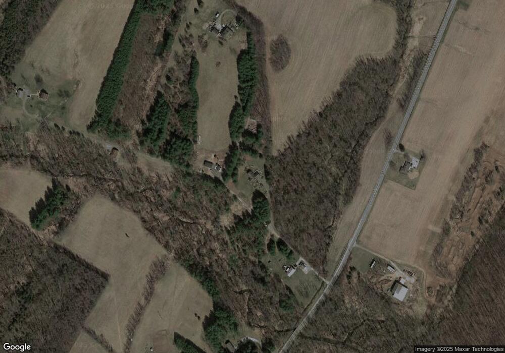
Map
Nearby Homes
- 103 E Canal St
- 1595 Oak Ln
- 4105 Smith Rd
- 4013 Somerset Rd
- 33 S Main St
- 1920 Temple School Rd
- 1841 Wyatt Cir
- 0 Nursery Rd
- 1030 E Canal Rd
- 86 Cherokee Ave
- 3960 Sheppard Dr
- 0 W Canal Rd
- 85 Cherokee Ave
- 140 Pawnee Ave
- 1735 Temple School Rd
- 3756 Fox Chase Dr
- 4008 Country Dr
- 3121 Long Meadow Dr Unit 37A
- 3342 Glen Hollow Dr
- 1636 Fountain Rock Dr
- 1540 Butter Rd
- 1540 Butter Rd
- 1540 Butter Rd
- 1590 Butter Rd
- 4501 Fox Run Rd
- 1630 Butter Rd
- 1460 Butter Rd
- 1600 Butter Rd
- 1530 Butter Rd
- 106 Dogwood Dr
- 108 Dogwood Dr
- 104 Dogwood Dr
- 102 Dogwood Dr
- 110 Dogwood Dr
- 228 Maplewood Dr
- 103 Dogwood Dr
- 226 Maplewood Dr
- 112 Dogwood Dr
- 223 Maplewood Dr
- 0 Fox Run Rd