1540 Coal Mine Way Cle Elum, WA 98922
Estimated Value: $1,814,224 - $2,192,000
5
Beds
4
Baths
3,282
Sq Ft
$595/Sq Ft
Est. Value
About This Home
This home is located at 1540 Coal Mine Way, Cle Elum, WA 98922 and is currently estimated at $1,954,306, approximately $595 per square foot. 1540 Coal Mine Way is a home located in Kittitas County with nearby schools including Cle Elum Roslyn Elementary School, Walter Strom Middle School, and Cle Elum Roslyn High School.
Ownership History
Date
Name
Owned For
Owner Type
Purchase Details
Closed on
Sep 13, 2011
Sold by
Bank Of America Na
Bought by
Rabuchin Steve and Rabuchin Janis
Current Estimated Value
Purchase Details
Closed on
Dec 22, 2005
Sold by
Suncadia Llc
Bought by
Irwin Mary R and Irwin Dennis J
Home Financials for this Owner
Home Financials are based on the most recent Mortgage that was taken out on this home.
Original Mortgage
$273,195
Interest Rate
7%
Mortgage Type
Adjustable Rate Mortgage/ARM
Create a Home Valuation Report for This Property
The Home Valuation Report is an in-depth analysis detailing your home's value as well as a comparison with similar homes in the area
Home Values in the Area
Average Home Value in this Area
Purchase History
| Date | Buyer | Sale Price | Title Company |
|---|---|---|---|
| Rabuchin Steve | $107,500 | Fatco | |
| Irwin Mary R | $303,550 | Amerititle |
Source: Public Records
Mortgage History
| Date | Status | Borrower | Loan Amount |
|---|---|---|---|
| Previous Owner | Irwin Mary R | $273,195 |
Source: Public Records
Tax History Compared to Growth
Tax History
| Year | Tax Paid | Tax Assessment Tax Assessment Total Assessment is a certain percentage of the fair market value that is determined by local assessors to be the total taxable value of land and additions on the property. | Land | Improvement |
|---|---|---|---|---|
| 2025 | $10,819 | $1,719,220 | $404,200 | $1,315,020 |
| 2023 | $10,819 | $1,601,200 | $377,600 | $1,223,600 |
| 2022 | $8,728 | $1,211,250 | $226,900 | $984,350 |
| 2021 | $8,352 | $1,105,140 | $160,900 | $944,240 |
| 2019 | $7,515 | $990,660 | $132,900 | $857,760 |
| 2018 | $6,078 | $759,460 | $99,750 | $659,710 |
| 2017 | $6,078 | $759,460 | $99,750 | $659,710 |
| 2016 | $6,098 | $759,460 | $99,750 | $659,710 |
| 2015 | $6,315 | $759,460 | $99,750 | $659,710 |
| 2013 | -- | $749,780 | $99,750 | $650,030 |
Source: Public Records
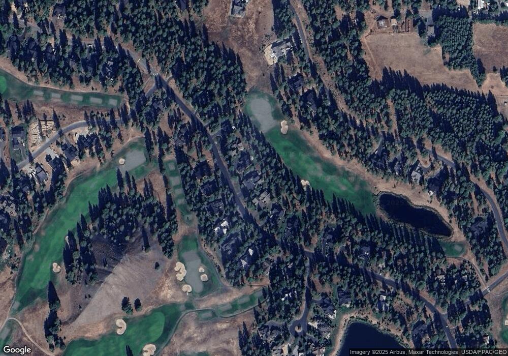
Map
Nearby Homes
- 1481 Coal Mine Way
- 221 Tipple Hill Loop
- 301 Tipple Hill Loop
- 2040 Coal Mine Way
- 2101 Coal Mine Way
- 950 Coal Mine Way
- 722 S A St
- 240 Monabel Ct
- 100 Black Nugget Ln
- 420 Black Nugget Ln
- 31 Blackberry Ct
- 61 Equinox Dr
- 530 Spragger Way
- 70 Thimbleberry Ct
- 610 Spragger Way
- 681 Maple Leaf Loop
- 51 Thimbleberry Ct
- 73 Sweet Shop Ln
- 90 Portal Ct
- 1060 Spragger Way
- 1570 Coal Mine Way
- 1500 Coal Mine Way
- 1600 Coal Mine Way
- 1460 Coal Mine Way
- 1531 Coal Mine Way
- 571 Richards Rd
- 1511 Coal Mine Way
- 1630 Coal Mine Way
- 1420 Coal Mine Way
- 1631 Coal Mine Way
- 1461 Coal Mine Way
- 1660 Coal Mine Way
- 1671 Coal Mine Way
- 1431 Coal Mine Way
- 1360 Coal Mine Way
- 1690 Coal Mine Way
- 31 Jellabel Ct
- 1701 Coal Mine Way
- 581 Steam Gin Loop
- 621 Steam Gin Loop