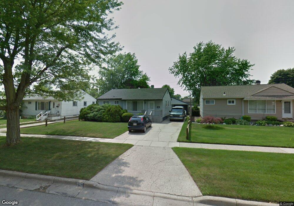
1540 Jay Ave Ypsilanti, MI 48198
Gault Village NeighborhoodEstimated Value: $233,000 - $251,000
3
Beds
2
Baths
1,020
Sq Ft
$236/Sq Ft
Est. Value
About This Home
This home is located at 1540 Jay Ave, Ypsilanti, MI 48198 and is currently estimated at $241,104, approximately $236 per square foot. 1540 Jay Ave is a home located in Washtenaw County with nearby schools including Erickson Elementary School, Holmes Elementary School, and Estabrook Elementary School.
Ownership History
Date
Name
Owned For
Owner Type
Purchase Details
Closed on
Apr 7, 2014
Sold by
Palmer Gary L and Palmer Sherry F
Bought by
Palmer Gary L and Palmer Sherry F
Current Estimated Value
Purchase Details
Closed on
Jun 13, 1996
Sold by
Est Oliver K Peltonen
Bought by
Palmer Gary L and Palmer Sherry F
Home Financials for this Owner
Home Financials are based on the most recent Mortgage that was taken out on this home.
Original Mortgage
$61,900
Outstanding Balance
$4,059
Interest Rate
8.29%
Mortgage Type
New Conventional
Estimated Equity
$237,045
Create a Home Valuation Report for This Property
The Home Valuation Report is an in-depth analysis detailing your home's value as well as a comparison with similar homes in the area
Home Values in the Area
Average Home Value in this Area
Purchase History
| Date | Buyer | Sale Price | Title Company |
|---|---|---|---|
| Palmer Gary L | -- | None Available | |
| Palmer Gary L | $81,900 | -- |
Source: Public Records
Mortgage History
| Date | Status | Borrower | Loan Amount |
|---|---|---|---|
| Open | Palmer Gary L | $61,900 |
Source: Public Records
Tax History Compared to Growth
Tax History
| Year | Tax Paid | Tax Assessment Tax Assessment Total Assessment is a certain percentage of the fair market value that is determined by local assessors to be the total taxable value of land and additions on the property. | Land | Improvement |
|---|---|---|---|---|
| 2025 | -- | $112,000 | $0 | $0 |
| 2024 | -- | $111,900 | $0 | $0 |
| 2023 | -- | $99,300 | $0 | $0 |
| 2022 | $0 | $93,300 | $0 | $0 |
| 2021 | $1,979 | $78,400 | $0 | $0 |
| 2020 | $1,979 | $76,500 | $0 | $0 |
| 2019 | $1,979 | $68,300 | $68,300 | $0 |
| 2018 | $0 | $65,100 | $0 | $0 |
| 2017 | $1,985 | $63,500 | $0 | $0 |
| 2016 | $1,221 | $41,169 | $0 | $0 |
| 2015 | $1,852 | $41,046 | $0 | $0 |
| 2014 | $1,852 | $40,600 | $0 | $0 |
| 2013 | -- | $40,600 | $0 | $0 |
Source: Public Records
Map
Nearby Homes
- 1001 Juneau Rd
- 800 Cliffs Dr Unit 208F
- 1311 Grove Rd
- 730 Cliffs Dr Unit 304 A
- 1205 Evelyn Ave
- 1421 Melvin St
- 1428 Foley Ave
- 1593 Wingate Blvd
- 950 Auburndale Ave
- 851 Auburndale Ave
- 1658 Foley Ave
- 1724 Grove Rd Unit 301
- 1744 Grove Rd Unit A-201
- 7850 S Huron River Dr
- 909 Maplewood Ave
- 620 Kansas Ave
- 490 Greenlawn St
- 1027 Parkwood Ave
- 1815 Heatherridge St
- 830 Gates Ave