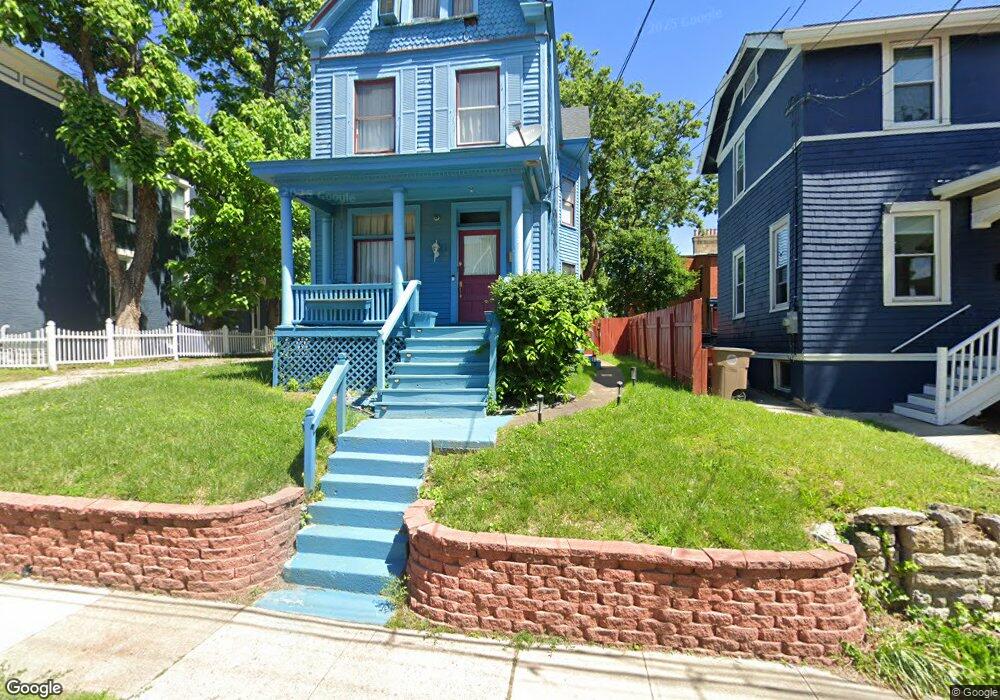
1540 Merrimac St Cincinnati, OH 45207
Evanston NeighborhoodEstimated Value: $185,000 - $286,000
3
Beds
2
Baths
1,932
Sq Ft
$130/Sq Ft
Est. Value
About This Home
This home is located at 1540 Merrimac St, Cincinnati, OH 45207 and is currently estimated at $251,364, approximately $130 per square foot. 1540 Merrimac St is a home located in Hamilton County with nearby schools including Evanston Academy Elementary School, Clark Montessori High School, and Robert A. Taft Information Technology High School.
Ownership History
Date
Name
Owned For
Owner Type
Purchase Details
Closed on
Aug 17, 2024
Sold by
Jones Brenda J
Bought by
Jones Brenda J and Jones Robert C
Current Estimated Value
Purchase Details
Closed on
Sep 12, 2018
Sold by
Jill A Shelley
Bought by
Jones Robert and Jones Brenda
Home Financials for this Owner
Home Financials are based on the most recent Mortgage that was taken out on this home.
Original Mortgage
$3,000
Interest Rate
4.54%
Purchase Details
Closed on
Apr 8, 1993
Sold by
Jones Robert C
Bought by
Jones Brenda J
Create a Home Valuation Report for This Property
The Home Valuation Report is an in-depth analysis detailing your home's value as well as a comparison with similar homes in the area
Home Values in the Area
Average Home Value in this Area
Purchase History
| Date | Buyer | Sale Price | Title Company |
|---|---|---|---|
| Jones Brenda J | -- | None Listed On Document | |
| Jones Robert | $34,500 | -- | |
| Jones Brenda J | -- | -- |
Source: Public Records
Mortgage History
| Date | Status | Borrower | Loan Amount |
|---|---|---|---|
| Previous Owner | Jones Robert | $3,000 | |
| Previous Owner | Jones Robert | -- |
Source: Public Records
Tax History Compared to Growth
Tax History
| Year | Tax Paid | Tax Assessment Tax Assessment Total Assessment is a certain percentage of the fair market value that is determined by local assessors to be the total taxable value of land and additions on the property. | Land | Improvement |
|---|---|---|---|---|
| 2024 | $3,390 | $54,429 | $7,914 | $46,515 |
| 2023 | $3,461 | $54,429 | $7,914 | $46,515 |
| 2022 | $1,619 | $21,707 | $5,740 | $15,967 |
| 2021 | $1,437 | $21,707 | $5,740 | $15,967 |
| 2020 | $1,477 | $21,707 | $5,740 | $15,967 |
| 2019 | $1,482 | $19,916 | $5,268 | $14,648 |
| 2018 | $1,484 | $19,916 | $5,268 | $14,648 |
| 2017 | $1,411 | $19,916 | $5,268 | $14,648 |
| 2016 | $1,400 | $19,509 | $5,698 | $13,811 |
| 2015 | $1,262 | $19,509 | $5,698 | $13,811 |
| 2014 | $1,271 | $19,509 | $5,698 | $13,811 |
| 2013 | $1,318 | $19,909 | $5,814 | $14,095 |
Source: Public Records
Map
Nearby Homes
- 3121 Harvard Ave
- 3136 Harvard Ave
- 1613 Dexter Ave
- 3129 Hackberry St
- 3119 Hackberry St
- 3121 Hackberry St
- 1524 Gilpin Ave
- 1628 Dexter Ave
- 3238 Gilbert Ave
- 3144 Durrell Ave
- 3217 Gilbert Ave
- 3120 Hackberry St
- 1708 Fairfax Ave
- 3206 Gilbert Ave
- 1607 Everly Place
- 1611 Everly Place
- 3008 Woodburn Ave
- 1537 Dixmont Ave
- 3006 Woodburn Ave
- 1608 De Sales Ln
- 1544 Merrimac St
- 3105 Woodburn Ave
- 3109 Woodburn Ave
- 3111 Woodburn Ave
- 3079 Woodburn Ave
- 3117 Woodburn Ave
- 1541 Merrimac St
- 1539 Merrimac St
- 1529 Merrimac St
- 1535 Merrimac St
- 3118 Harvard Ave
- 1520 Merrimac St
- 3119 Woodburn Ave
- 3113 Harvard Ave
- 1527 Merrimac St
- 3122 Harvard Ave
- 1518 Merrimac St
- 3111 Harvard Ave
- 3117 Harvard Ave
- 3123 Woodburn Ave