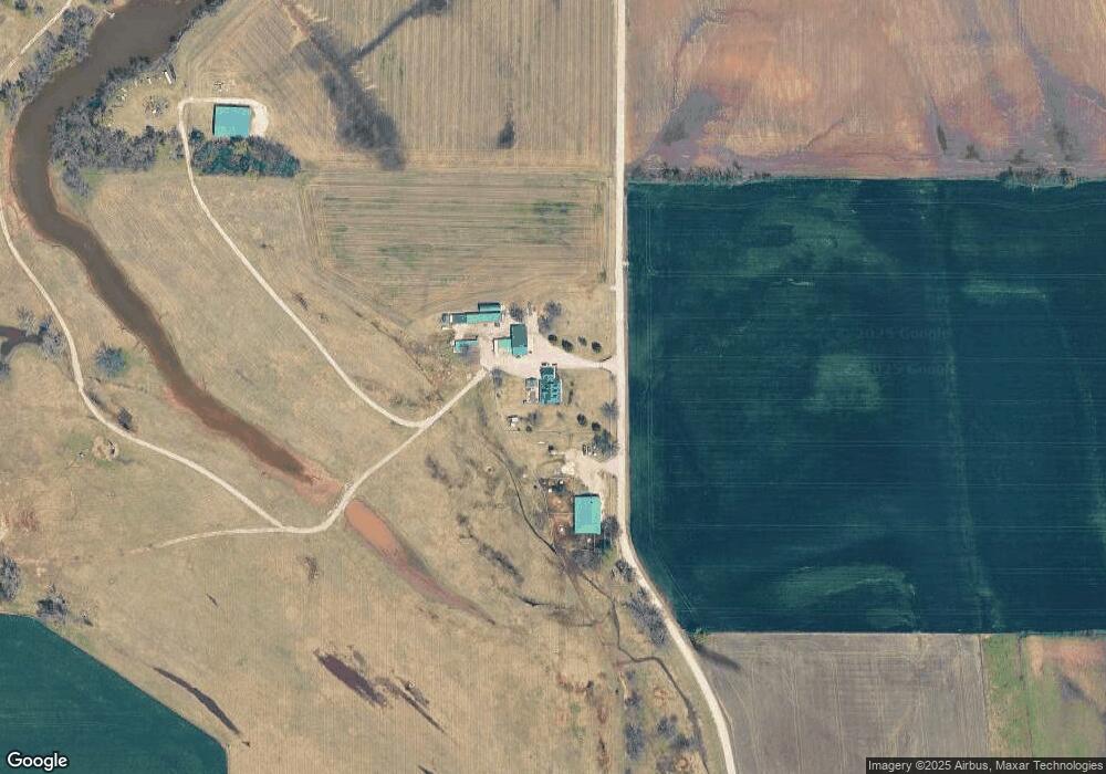
1540 S Range Rd McLoud, OK 74851
Estimated Value: $332,000 - $411,300
4
Beds
3
Baths
2,612
Sq Ft
$148/Sq Ft
Est. Value
About This Home
This home is located at 1540 S Range Rd, McLoud, OK 74851 and is currently estimated at $386,575, approximately $147 per square foot. 1540 S Range Rd is a home located in Pottawatomie County with nearby schools including Dale Elementary School, Dale Middle School, and Dale High School.
Ownership History
Date
Name
Owned For
Owner Type
Purchase Details
Closed on
Jun 18, 2018
Sold by
Davis Faron D
Bought by
Faron D Davis Revocable Trust
Current Estimated Value
Purchase Details
Closed on
Apr 18, 2016
Sold by
Davis Linda J
Bought by
Davis Faron D
Create a Home Valuation Report for This Property
The Home Valuation Report is an in-depth analysis detailing your home's value as well as a comparison with similar homes in the area
Purchase History
| Date | Buyer | Sale Price | Title Company |
|---|---|---|---|
| Faron D Davis Revocable Trust | -- | None Available | |
| Davis Faron D | -- | None Available |
Source: Public Records
Tax History
| Year | Tax Paid | Tax Assessment Tax Assessment Total Assessment is a certain percentage of the fair market value that is determined by local assessors to be the total taxable value of land and additions on the property. | Land | Improvement |
|---|---|---|---|---|
| 2025 | $2,913 | $28,485 | $1,214 | $27,271 |
| 2023 | $2,929 | $26,849 | $1,043 | $25,806 |
| 2022 | $2,654 | $26,849 | $1,043 | $25,806 |
| 2021 | $2,913 | $26,849 | $1,043 | $25,806 |
| 2020 | $2,939 | $27,083 | $1,043 | $26,040 |
| 2019 | $3,079 | $27,316 | $1,043 | $26,273 |
| 2018 | $3,074 | $27,550 | $1,043 | $26,507 |
| 2017 | $2,992 | $27,783 | $1,043 | $26,740 |
| 2016 | $2,638 | $27,967 | $994 | $26,973 |
| 2015 | $2,300 | $25,032 | $965 | $24,067 |
| 2014 | $2,300 | $24,303 | $1,020 | $23,283 |
Source: Public Records
Map
Nearby Homes
- 36656 Garrett's Lake Rd
- 9202 Cleo Ln
- 36021 Prairie Rdg Rd
- 36236 Prairie Ridge Ct
- 36506 Garretts Lake Rd
- 300 Braid Ln
- 36701 Timber Rd
- 4610 S Highway 102 #2 3 78 Acres
- 9901 Hickory Hollow Rd
- 9959 Hickory Hollow Rd
- 10697 Chandler Way
- 36601 W 45th St
- 5592 Bent Creek Rd
- 5668 Bent Creek Rd
- 5636 Bent Creek Rd
- 5610 Bent Creek Rd
- 0 Coker Rd
- 33205 Amy Ave
- 8 Clark Cir
- 13430 Dewberry Rd
Your Personal Tour Guide
Ask me questions while you tour the home.