15406 Low Gap Rd West Fork, AR 72774
Estimated Value: $261,000 - $287,000
2
Beds
1
Bath
1,100
Sq Ft
$249/Sq Ft
Est. Value
About This Home
This home is located at 15406 Low Gap Rd, West Fork, AR 72774 and is currently estimated at $274,001, approximately $249 per square foot. 15406 Low Gap Rd is a home located in Washington County with nearby schools including Greenland Middle School, Greenland Elementary School, and Greenland High School.
Ownership History
Date
Name
Owned For
Owner Type
Purchase Details
Closed on
Jun 19, 1987
Bought by
Butler Anthony D and Butler Lisa M
Current Estimated Value
Purchase Details
Closed on
Jun 3, 1987
Bought by
Vandiver Nicky L and Vandiver Leslie A
Purchase Details
Closed on
Oct 1, 1982
Bought by
Vandiver Nicky L and Vandiver Lislie A
Purchase Details
Closed on
Oct 9, 1981
Bought by
Vandiver Nicky L and Vandiver Lislie A
Purchase Details
Closed on
Jun 3, 1977
Bought by
Rochester Roger E and Rochester Millie
Purchase Details
Closed on
Apr 25, 1975
Bought by
Siever Richard L and Siever Laura L
Purchase Details
Closed on
Aug 6, 1974
Bought by
Veterans Affairs
Purchase Details
Closed on
Apr 17, 1973
Bought by
Wingfield Billy Lee and Wingfield Ann
Purchase Details
Closed on
Mar 19, 1973
Bought by
Cloverleaf Development Inc
Purchase Details
Closed on
May 7, 1971
Bought by
Jenkins Franklin D and Jenkins Judy K
Create a Home Valuation Report for This Property
The Home Valuation Report is an in-depth analysis detailing your home's value as well as a comparison with similar homes in the area
Purchase History
| Date | Buyer | Sale Price | Title Company |
|---|---|---|---|
| Butler Anthony D | $68,000 | -- | |
| Vandiver Nicky L | -- | -- | |
| Vandiver Nicky L | -- | -- | |
| Vandiver Nicky L | $32,700 | -- | |
| Rochester Roger E | $30,000 | -- | |
| Siever Richard L | $22,000 | -- | |
| Veterans Affairs | -- | -- | |
| Federal National Mortgage Asso | -- | -- | |
| Wingfield Billy Lee | $23,000 | -- | |
| Cloverleaf Development Inc | -- | -- | |
| Jenkins Franklin D | $11,000 | -- |
Source: Public Records
Tax History
| Year | Tax Paid | Tax Assessment Tax Assessment Total Assessment is a certain percentage of the fair market value that is determined by local assessors to be the total taxable value of land and additions on the property. | Land | Improvement |
|---|---|---|---|---|
| 2025 | $499 | $32,780 | $3,650 | $29,130 |
| 2024 | $551 | $32,790 | $3,660 | $29,130 |
| 2023 | $591 | $32,790 | $3,660 | $29,130 |
| 2022 | $644 | $21,130 | $2,660 | $18,470 |
| 2021 | $643 | $21,130 | $2,660 | $18,470 |
| 2020 | $643 | $21,130 | $2,660 | $18,470 |
| 2019 | $212 | $11,790 | $2,180 | $9,610 |
| 2018 | $237 | $11,790 | $2,180 | $9,610 |
| 2017 | $180 | $11,790 | $2,180 | $9,610 |
| 2016 | $214 | $11,790 | $2,180 | $9,610 |
| 2015 | $141 | $11,790 | $2,180 | $9,610 |
| 2014 | $117 | $10,243 | $1,233 | $9,010 |
Source: Public Records
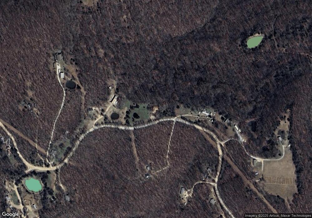
Map
Nearby Homes
- 163 Acres Low Gap Rd
- TBD Truelove Rd
- 14642 Truelove Rd
- 14416 Truelove Rd
- 14416 & 14425 Truelove Rd
- 14425 Truelove Rd
- 14710 Summer Shade Rd
- 15731 Parker Branch Rd
- 12812 Parker Branch Rd
- 14163 Low Gap Rd
- 13590 Sugar Mountain Rd
- 14186 Mineral Springs Rd
- 12095 & 12107 Volcano Rd
- 12107 Volcano Rd
- 13829 French Rd
- 000 Sugar Mountain Rd
- 0 Trace Branch Rd Unit 1293042
- 16712 S Highway 71
- 11724 Brubaker Rd
- 11546 & 11596 Brubaker Rd
- 15486 Low Gap Rd
- 15294 Low Gap Rd
- 15421 Low Gap Rd
- 15212 Low Gap
- 15496 Low Gap Rd
- 15496 Low Gap Rd
- 15471 Low Gap Rd
- 15503 Low Gap Rd
- 15212 Low Gap Rd
- 15497 Low Gap Rd
- 15216 Low Gap Rd
- 15500 Low Gap Rd
- 15208 Low Gap Rd
- 15221 Low Gap Rd
- 0 0 Truelove (Tract 5) Rd Unit 698109
- 0 0 Truelove (Tract 4) Rd Unit 698107
- 0 0 Truelove (Tract 7) Rd Unit 698111
- 0 0 Truelove (Tract 3) Rd Unit 698055
- 0 0 Truelove (Tract 6) Rd Unit 698110
- 1170 County Road 154
Your Personal Tour Guide
Ask me questions while you tour the home.