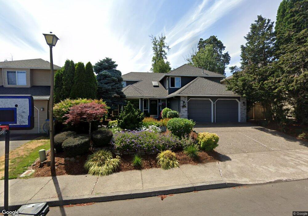
15409 SW Thurston Ln Portland, OR 97224
Durham Road NeighborhoodEstimated Value: $574,000 - $654,000
3
Beds
3
Baths
1,919
Sq Ft
$319/Sq Ft
Est. Value
About This Home
This home is located at 15409 SW Thurston Ln, Portland, OR 97224 and is currently estimated at $612,248, approximately $319 per square foot. 15409 SW Thurston Ln is a home located in Washington County with nearby schools including Durham Elementary School, Twality Middle School, and Tigard High School.
Ownership History
Date
Name
Owned For
Owner Type
Purchase Details
Closed on
Jun 12, 2014
Sold by
Willis Sandra L
Bought by
Hoffmeyer Kristen E
Current Estimated Value
Home Financials for this Owner
Home Financials are based on the most recent Mortgage that was taken out on this home.
Original Mortgage
$285,600
Outstanding Balance
$217,642
Interest Rate
4.25%
Mortgage Type
New Conventional
Estimated Equity
$394,606
Purchase Details
Closed on
Apr 11, 2012
Sold by
Willis Sandra
Bought by
Willis Sandra L and Sandra L Willis Revocable Living Trust
Create a Home Valuation Report for This Property
The Home Valuation Report is an in-depth analysis detailing your home's value as well as a comparison with similar homes in the area
Home Values in the Area
Average Home Value in this Area
Purchase History
| Date | Buyer | Sale Price | Title Company |
|---|---|---|---|
| Hoffmeyer Kristen E | $336,000 | Wfg Title | |
| Willis Sandra L | -- | None Available |
Source: Public Records
Mortgage History
| Date | Status | Borrower | Loan Amount |
|---|---|---|---|
| Open | Hoffmeyer Kristen E | $285,600 |
Source: Public Records
Tax History Compared to Growth
Tax History
| Year | Tax Paid | Tax Assessment Tax Assessment Total Assessment is a certain percentage of the fair market value that is determined by local assessors to be the total taxable value of land and additions on the property. | Land | Improvement |
|---|---|---|---|---|
| 2025 | $6,048 | $354,770 | -- | -- |
| 2024 | $5,886 | $344,440 | -- | -- |
| 2023 | $5,886 | $334,410 | $0 | $0 |
| 2022 | $5,717 | $334,410 | $0 | $0 |
| 2021 | $5,574 | $315,220 | $0 | $0 |
| 2020 | $5,406 | $306,040 | $0 | $0 |
| 2019 | $5,172 | $297,130 | $0 | $0 |
| 2018 | $4,962 | $288,480 | $0 | $0 |
| 2017 | $4,783 | $280,080 | $0 | $0 |
| 2016 | $4,567 | $271,930 | $0 | $0 |
| 2015 | $4,305 | $264,010 | $0 | $0 |
| 2014 | $4,142 | $256,330 | $0 | $0 |
Source: Public Records
Map
Nearby Homes
- 14994 SW Belvoir Ct
- 14964 SW Belvoir Ct
- 8420 SW Norfolk Ct
- 7946 SW Churchill Way
- 7585 SW Onnaf Ct
- 7744 SW Cornutt St
- 8596 SW Schmidt Loop
- 7988 SW Leiser Ln
- 15080 SW 88th Ave
- 14670 SW 78th Ave
- 7913 SW Leiser Ln
- 14611 SW 78th Ave
- 15974 SW 76th Ave
- 8539 SW Avon St
- 14544 SW 78th Ave
- 8801 SW Scheckla Dr
- 15755 SW 87th Ave
- 8755 SW Pinebrook St
- 8580 SW Inez St
- 15309 SW Regent Terrace
- 15381 SW Thurston Ln
- 15414 SW Kenton Dr
- 15390 SW Kenton Dr
- 15363 SW Thurston Ln
- 7947 SW Ashford St
- 15378 SW Kenton Dr
- 15396 SW Thurston Ln
- 15341 SW Thurston Ln
- 15356 SW Kenton Dr
- 7925 SW Ashford St
- 7996 SW Ashford St
- 7990 SW Ashford St
- 15374 SW Thurston Ln
- 8018 SW Ashford St
- 7978 SW Ashford St
- 15385 SW 79th Ave
- 15334 SW Kenton Dr
- 7956 SW Ashford St
- 15329 SW Thurston Ln
- 7903 SW Ashford St