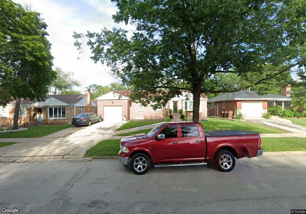
1541 N Taft Ave Berkeley, IL 60163
Estimated Value: $282,000 - $322,000
3
Beds
1
Bath
1,131
Sq Ft
$261/Sq Ft
Est. Value
About This Home
This home is located at 1541 N Taft Ave, Berkeley, IL 60163 and is currently estimated at $295,522, approximately $261 per square foot. 1541 N Taft Ave is a home located in Cook County with nearby schools including Macarthur Intermediate School, Sunnyside Elementary School, and Proviso West High School.
Ownership History
Date
Name
Owned For
Owner Type
Purchase Details
Closed on
May 28, 2001
Sold by
Dejesus Marigold
Bought by
Hargrove Don
Current Estimated Value
Home Financials for this Owner
Home Financials are based on the most recent Mortgage that was taken out on this home.
Original Mortgage
$167,600
Outstanding Balance
$61,400
Interest Rate
7.27%
Mortgage Type
FHA
Estimated Equity
$234,122
Create a Home Valuation Report for This Property
The Home Valuation Report is an in-depth analysis detailing your home's value as well as a comparison with similar homes in the area
Home Values in the Area
Average Home Value in this Area
Purchase History
We collect this data history from publicly available records. To have your information removed, we recommend requesting removal directly through your county’s website.
| Date | Buyer | Sale Price | Title Company |
|---|---|---|---|
| Hargrove Don | $170,000 | Law Title |
Source: Public Records
Mortgage History
We collect this data history from publicly available records. To have your information removed, we recommend requesting removal directly through your county’s website.
| Date | Status | Borrower | Loan Amount |
|---|---|---|---|
| Open | Hargrove Don | $167,600 |
Source: Public Records
Tax History
| Year | Tax Paid | Tax Assessment Tax Assessment Total Assessment is a certain percentage of the fair market value that is determined by local assessors to be the total taxable value of land and additions on the property. | Land | Improvement |
|---|---|---|---|---|
| 2025 | $7,664 | $24,000 | $5,720 | $18,280 |
| 2024 | $7,664 | $24,000 | $5,720 | $18,280 |
| 2023 | $6,353 | $24,000 | $5,720 | $18,280 |
| 2022 | $6,353 | $17,880 | $3,900 | $13,980 |
| 2021 | $6,372 | $17,880 | $3,900 | $13,980 |
| 2020 | $6,103 | $17,880 | $3,900 | $13,980 |
| 2019 | $5,197 | $15,690 | $3,640 | $12,050 |
| 2018 | $5,092 | $15,690 | $3,640 | $12,050 |
| 2017 | $4,892 | $15,690 | $3,640 | $12,050 |
| 2016 | $4,281 | $13,074 | $3,380 | $9,694 |
| 2015 | $4,218 | $13,074 | $3,380 | $9,694 |
| 2014 | $4,163 | $13,074 | $3,380 | $9,694 |
| 2013 | $4,710 | $15,494 | $3,380 | $12,114 |
Source: Public Records
Map
Nearby Homes
- 1415 N Taft Ave
- 1425 Atwood Ave
- 5733 Rose Ct
- 1431 N Hillside Ave
- 1143 Arthur Ave
- 459 E Ridge Ave
- 1541 N Lee Blvd
- 515 S Parkview Ave
- 5820 Park Ave
- 605 N Wolf Rd Unit 8E
- 1456 N Rohde Ave
- 768 N Rohde Ave
- 1426 N Rohde Ave
- 748 N Rohde Ave
- 675 S Edgewood Ave
- 392 E Saint Charles Rd
- 607 S Cedar Ave
- 346 E South St
- 397 S Holly Ave
- 421 E Barclay Ct
- 1537 N Taft Ave
- 1551 N Taft Ave
- 1531 N Taft Ave
- 5732 W Hawthorne Ave
- 5746 W Hawthorne Ave
- 1527 N Taft Ave
- 1538 King Dr
- 5736 W Hawthorne Ave
- 5736 W Hawthorne Ave
- 1542 N Taft Ave
- 1540 N Taft Ave
- 1536 King Dr
- 1523 N Taft Ave
- 5728 W Hawthorne Ave
- 1544 King Dr
- 1524 N Taft Ave
- 1542 King Dr
- 1540 King Dr
- 1560 N Taft Ave
- 1519 N Taft Ave
Your Personal Tour Guide
Ask me questions while you tour the home.