1541 Westwood Dr Sidney, OH 45365
Estimated Value: $302,286 - $354,000
4
Beds
3
Baths
2,003
Sq Ft
$164/Sq Ft
Est. Value
About This Home
This home is located at 1541 Westwood Dr, Sidney, OH 45365 and is currently estimated at $328,822, approximately $164 per square foot. 1541 Westwood Dr is a home located in Shelby County with nearby schools including Sidney High School, Holy Angels Catholic School, and Christian Academy Schools.
Ownership History
Date
Name
Owned For
Owner Type
Purchase Details
Closed on
Sep 28, 2001
Sold by
Kaufman Mark I
Bought by
Kelly Jason M
Current Estimated Value
Home Financials for this Owner
Home Financials are based on the most recent Mortgage that was taken out on this home.
Original Mortgage
$149,600
Outstanding Balance
$58,901
Interest Rate
6.97%
Mortgage Type
New Conventional
Estimated Equity
$269,921
Purchase Details
Closed on
Jun 9, 1993
Bought by
Kaufman Tamara
Create a Home Valuation Report for This Property
The Home Valuation Report is an in-depth analysis detailing your home's value as well as a comparison with similar homes in the area
Home Values in the Area
Average Home Value in this Area
Purchase History
| Date | Buyer | Sale Price | Title Company |
|---|---|---|---|
| Kelly Jason M | $157,500 | -- | |
| Kaufman Tamara | $147,000 | -- |
Source: Public Records
Mortgage History
| Date | Status | Borrower | Loan Amount |
|---|---|---|---|
| Open | Kelly Jason M | $149,600 |
Source: Public Records
Tax History Compared to Growth
Tax History
| Year | Tax Paid | Tax Assessment Tax Assessment Total Assessment is a certain percentage of the fair market value that is determined by local assessors to be the total taxable value of land and additions on the property. | Land | Improvement |
|---|---|---|---|---|
| 2024 | $2,684 | $76,770 | $14,270 | $62,500 |
| 2023 | $2,684 | $76,770 | $14,270 | $62,500 |
| 2022 | $2,728 | $68,530 | $12,240 | $56,290 |
| 2021 | $2,755 | $68,530 | $12,240 | $56,290 |
| 2020 | $2,755 | $68,530 | $12,240 | $56,290 |
| 2019 | $2,295 | $57,270 | $10,190 | $47,080 |
| 2018 | $2,263 | $57,270 | $10,190 | $47,080 |
| 2017 | $2,250 | $57,270 | $10,190 | $47,080 |
| 2016 | $2,228 | $56,600 | $10,190 | $46,410 |
| 2015 | $2,235 | $56,600 | $10,190 | $46,410 |
| 2014 | $2,235 | $56,600 | $10,190 | $46,410 |
| 2013 | $2,401 | $56,190 | $10,190 | $46,000 |
Source: Public Records
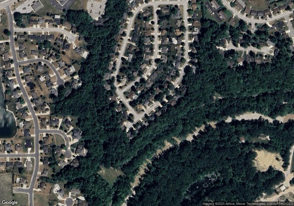
Map
Nearby Homes
- 1680 Wildwood Ct
- 1559 Timberidge Dr
- 1144 Hawthorne Dr
- 1014 Spruce Ave
- 812 Chestnut Ave
- 747 Chestnut Ave
- 649 Fair Rd
- 608 Foraker Ave
- 603 S Highland Ave
- 2417 Cole Ct
- 2423 Cole Ct
- 507 Charles Ave
- 1786 Creekside Ct
- 1780 Creekside Ct
- 1756 Creekside Ct
- 1768 Creekside Ct
- 1774 Creekside Ct
- 1762 Creekside Ct
- 610 Fair Rd
- 0 Sharp Unit 1033548
- 1529 Westwood Dr
- 1538 Westwood Dr
- 1550 Westwood Dr
- 1526 Westwood Dr
- 1553 Westwood Dr
- 0 Huron Ct Unit 6115 331268
- 0 Huron Ct
- 1562 Westwood Dr
- 1517 Westwood Dr
- 1514 Westwood Dr
- 1690 Wildwood Ct
- 1700 Wildwood Ct
- 1505 Westwood Dr
- 1504 Westwood Dr
- 1605 Westwood Dr
- 1602 Westwood Dr
- 1670 Wildwood Ct
- 1455 Westwood Dr
- 1452 Westwood Dr
- 1671 Wildwood Ct