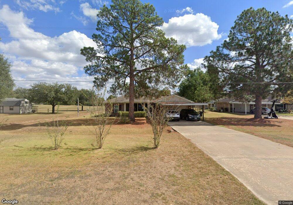
15410 Kitty Hawk Dr Waller, TX 77484
Estimated Value: $406,958 - $489,000
3
Beds
2
Baths
2,304
Sq Ft
$195/Sq Ft
Est. Value
About This Home
This home is located at 15410 Kitty Hawk Dr, Waller, TX 77484 and is currently estimated at $448,740, approximately $194 per square foot. 15410 Kitty Hawk Dr is a home located in Waller County with nearby schools including Waller Junior High School and Waller High School.
Ownership History
Date
Name
Owned For
Owner Type
Purchase Details
Closed on
Jan 22, 2014
Sold by
Mcconnell Shannon
Bought by
Wright Terry E and Smith Bettina
Current Estimated Value
Purchase Details
Closed on
Dec 18, 2012
Sold by
Mcconnell Children Llc
Bought by
Mcconnell Shannon
Purchase Details
Closed on
Jun 1, 2006
Sold by
Pgf Investing Inc
Bought by
Ward Faye J
Home Financials for this Owner
Home Financials are based on the most recent Mortgage that was taken out on this home.
Original Mortgage
$157,600
Interest Rate
6.56%
Mortgage Type
New Conventional
Create a Home Valuation Report for This Property
The Home Valuation Report is an in-depth analysis detailing your home's value as well as a comparison with similar homes in the area
Purchase History
| Date | Buyer | Sale Price | Title Company |
|---|---|---|---|
| Wright Terry E | -- | Stewart Title Co | |
| Mcconnell Shannon | -- | None Available | |
| Ward Faye J | -- | None Available |
Source: Public Records
Mortgage History
| Date | Status | Borrower | Loan Amount |
|---|---|---|---|
| Previous Owner | Ward Faye J | $157,600 |
Source: Public Records
Tax History
| Year | Tax Paid | Tax Assessment Tax Assessment Total Assessment is a certain percentage of the fair market value that is determined by local assessors to be the total taxable value of land and additions on the property. | Land | Improvement |
|---|---|---|---|---|
| 2025 | $792 | $416,950 | $108,710 | $308,240 |
| 2024 | $792 | $417,660 | $108,710 | $308,950 |
| 2023 | $792 | $380,109 | $0 | $0 |
| 2022 | $2,672 | $345,554 | -- | -- |
| 2021 | $6,544 | $341,480 | $54,730 | $286,750 |
| 2020 | $6,089 | $303,410 | $25,000 | $278,410 |
| 2019 | $5,780 | $259,620 | $25,000 | $234,620 |
| 2018 | $5,312 | $246,300 | $25,000 | $221,300 |
| 2017 | $5,339 | $245,660 | $28,000 | $217,660 |
| 2016 | $5,483 | $253,100 | $28,000 | $225,100 |
Source: Public Records
Map
Nearby Homes
- 15388 Sandtrap Dr
- 15408 Sandtrap
- 15592 Sandtrap Dr
- 15940 Kitty Hawk Dr
- 15610 Penick Rd
- 32226 Divot Dr
- 32231 Sandwedge Dr
- 16004 Penick Rd
- 32007 Meadow View Ln
- 31229 Rochen Rd
- 1024 Colibri Lake Ln
- 32027 Meadow View Ln
- 364 Rosalind Cir
- 14136 Penick Rd
- 33369 Black Falcon Ct
- 14134 Penick Rd
- 14126 Penick Rd
- 16450 Mathis Rd
- 0 Mound Creek Rd Unit 91708635
- 17209 Fm 362 Rd
- 32226 White Wing Dr
- 2 Kitty Hawk
- 15422 Kitty Hawk Dr
- 32218 White Wing Dr
- 15407 Kitty Hawk Dr
- 15434 Kitty Hawk Dr
- 32302 Lark Ln
- 32235 White Wing Dr
- 32227 White Wing Dr
- 32214 White Wing Dr
- 32219 White Wing Dr
- 32215 White Wing Dr
- 0 Whitewing Dr
- 0000 Whitewing Dr
- LOT 14 White Wing Dr
- 15486 Kitty Hawk Dr
- 32210 White Wing Dr
- 32203 White Wing Dr
- 15419 Kitty Hawk Dr
- 15447 Kitty Hawk Dr
Your Personal Tour Guide
Ask me questions while you tour the home.