15410 NE 179th Cir Brush Prairie, WA 98606
Estimated Value: $877,000 - $1,066,000
3
Beds
3
Baths
1,800
Sq Ft
$543/Sq Ft
Est. Value
About This Home
This home is located at 15410 NE 179th Cir, Brush Prairie, WA 98606 and is currently estimated at $976,779, approximately $542 per square foot. 15410 NE 179th Cir is a home located in Clark County with nearby schools including Hockinson Middle School and Hockinson High School.
Ownership History
Date
Name
Owned For
Owner Type
Purchase Details
Closed on
Feb 10, 2025
Sold by
Haxby Michael W and Haxby Barbara
Bought by
Haxby Michael W and Haxby Barbara
Current Estimated Value
Purchase Details
Closed on
May 14, 2021
Sold by
Haxby Michael W and Haxby Barbara
Bought by
Haxby Michael W and Haxby Barbara
Purchase Details
Closed on
Sep 24, 2003
Sold by
Sampson Joan
Bought by
Haxby Michael W and Haxby Barbara
Home Financials for this Owner
Home Financials are based on the most recent Mortgage that was taken out on this home.
Original Mortgage
$234,650
Interest Rate
6.17%
Mortgage Type
Purchase Money Mortgage
Purchase Details
Closed on
Dec 4, 2001
Sold by
Sampson Ned
Bought by
Sampson Joan
Home Financials for this Owner
Home Financials are based on the most recent Mortgage that was taken out on this home.
Original Mortgage
$205,200
Interest Rate
6.67%
Mortgage Type
Construction
Create a Home Valuation Report for This Property
The Home Valuation Report is an in-depth analysis detailing your home's value as well as a comparison with similar homes in the area
Home Values in the Area
Average Home Value in this Area
Purchase History
| Date | Buyer | Sale Price | Title Company |
|---|---|---|---|
| Haxby Michael W | -- | None Listed On Document | |
| Haxby Michael W | -- | None Available | |
| Haxby Michael W | -- | Fidelity National Title | |
| Sampson Joan | -- | Fidelity National Title | |
| Sampson Joan | -- | Fidelity National Title |
Source: Public Records
Mortgage History
| Date | Status | Borrower | Loan Amount |
|---|---|---|---|
| Previous Owner | Haxby Michael W | $234,650 | |
| Previous Owner | Sampson Joan | $205,200 |
Source: Public Records
Tax History Compared to Growth
Tax History
| Year | Tax Paid | Tax Assessment Tax Assessment Total Assessment is a certain percentage of the fair market value that is determined by local assessors to be the total taxable value of land and additions on the property. | Land | Improvement |
|---|---|---|---|---|
| 2025 | $7,917 | $859,996 | $255,750 | $604,246 |
| 2024 | $7,095 | $864,671 | $255,750 | $608,921 |
| 2023 | $7,086 | $833,612 | $245,000 | $588,612 |
| 2022 | $6,671 | $802,723 | $242,000 | $560,723 |
| 2021 | $6,493 | $681,335 | $206,000 | $475,335 |
| 2020 | $6,175 | $630,058 | $190,000 | $440,058 |
| 2019 | $5,986 | $589,466 | $175,600 | $413,866 |
| 2018 | $6,899 | $585,935 | $0 | $0 |
| 2017 | $6,123 | $526,477 | $0 | $0 |
| 2016 | $5,812 | $504,055 | $0 | $0 |
| 2015 | $5,207 | $439,167 | $0 | $0 |
| 2014 | -- | $393,923 | $0 | $0 |
| 2013 | -- | $354,496 | $0 | $0 |
Source: Public Records
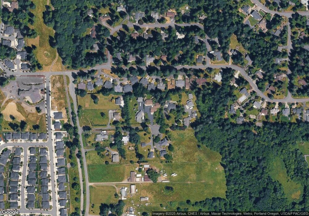
Map
Nearby Homes
- 3887 SE 19th Ave
- 15811 NE 180th St
- 4005 SE 17th Ave
- 14903 NE 182nd Cir
- 4119 SE 17th Ave
- 1610 SE 44th Cir
- 2805 SE 21st Place
- 2835 SE 20th Ave
- 3313 SE 12th Ave
- 3309 SE 12th Ave
- 3305 SE 12th Ave
- 2704 SE 25th Ave
- 3301 SE 12th Ave
- 2706 SE 22nd Ave
- 2708 SE 18th Ave
- 1121 SE 33rd St
- 2703 SE 18th Ave
- 2036 SE 27th St
- 18104 NE 142nd Ave
- 2344 SE 27th St
- 15412 NE 179th Cir
- 17927 NE 152nd Ave
- 15409 NE 181st St
- 15415 NE 181st St
- 15405 NE 181st St
- 15503 NE 181st St Unit 2
- 15503 NE 181st St Unit 1
- 15501 NE 181st St Unit 1
- 15317 NE 181st St
- 15315 NE 181st St
- 15507 NE 181st St Unit A
- 15507 NE 181st St Unit B
- 15507 NE 181st St Unit A
- 15310 NE 179th Cir
- 15416 NE 179th Cir
- 15415 NE 179th Cir
- 15418 NE 179th Cir
- 15304 NE 179th Cir
- 15309 NE 181st St
- 15515 NE 181st St Unit 1