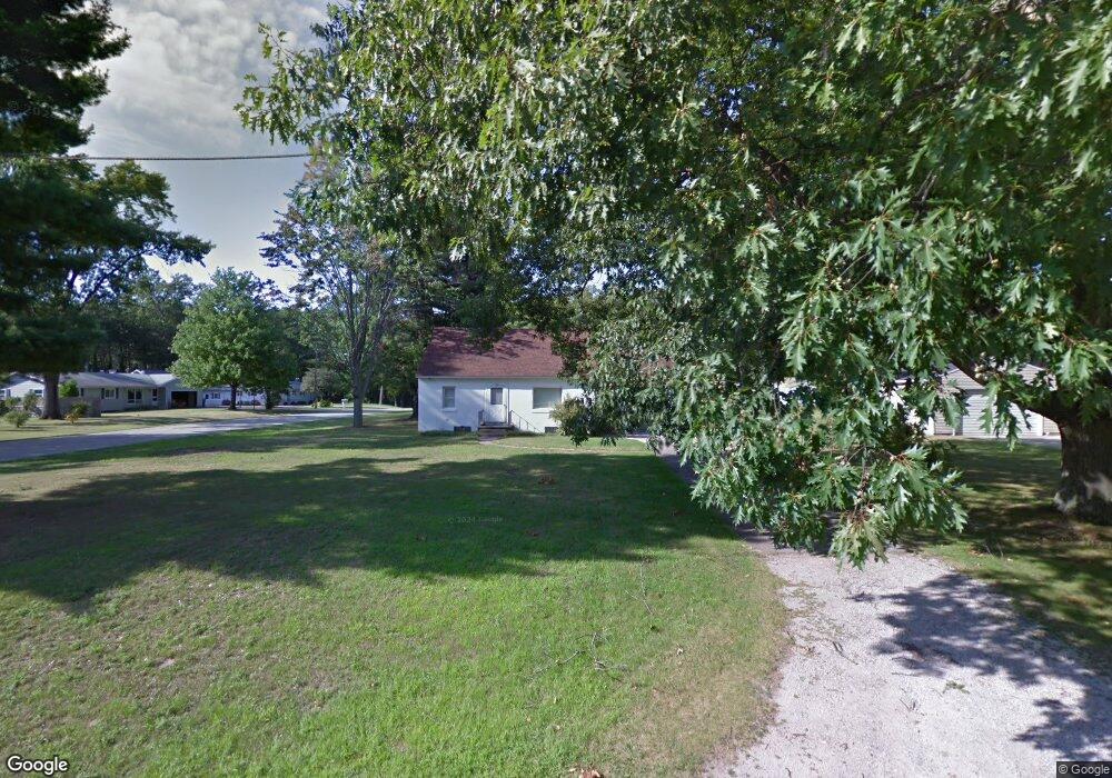
1542 Airport Rd Norton Shores, MI 49444
Estimated Value: $228,516 - $246,000
4
Beds
2
Baths
1,161
Sq Ft
$204/Sq Ft
Est. Value
About This Home
This home is located at 1542 Airport Rd, Norton Shores, MI 49444 and is currently estimated at $236,879, approximately $204 per square foot. 1542 Airport Rd is a home located in Muskegon County with nearby schools including Mona Shores High School, Edgewood Elementary Academy, and Dr. Martin Luther King Academy.
Ownership History
Date
Name
Owned For
Owner Type
Purchase Details
Closed on
Apr 28, 2014
Sold by
Woods Patricia J
Bought by
Woods Patricia J and Woods Laura
Current Estimated Value
Purchase Details
Closed on
Apr 23, 2014
Sold by
Woods Charles Willard and Woods Patricia J
Bought by
Woods Ii Charles W and Woods Patricia J
Purchase Details
Closed on
Jul 17, 2008
Sold by
Miron Karen A
Bought by
Woods Ii Charles Willard
Create a Home Valuation Report for This Property
The Home Valuation Report is an in-depth analysis detailing your home's value as well as a comparison with similar homes in the area
Home Values in the Area
Average Home Value in this Area
Purchase History
| Date | Buyer | Sale Price | Title Company |
|---|---|---|---|
| Woods Patricia J | -- | None Available | |
| Woods Ii Charles W | -- | None Available | |
| Woods Ii Charles Willard | -- | None Available |
Source: Public Records
Tax History Compared to Growth
Tax History
| Year | Tax Paid | Tax Assessment Tax Assessment Total Assessment is a certain percentage of the fair market value that is determined by local assessors to be the total taxable value of land and additions on the property. | Land | Improvement |
|---|---|---|---|---|
| 2025 | $1,772 | $90,300 | $0 | $0 |
| 2024 | $1,389 | $82,100 | $0 | $0 |
| 2023 | $1,326 | $73,100 | $0 | $0 |
| 2022 | $1,617 | $60,100 | $0 | $0 |
| 2021 | $1,571 | $55,600 | $0 | $0 |
| 2020 | $1,553 | $51,100 | $0 | $0 |
| 2019 | $1,525 | $46,900 | $0 | $0 |
| 2018 | $1,489 | $43,700 | $0 | $0 |
| 2017 | $1,455 | $42,900 | $0 | $0 |
| 2016 | $1,126 | $40,100 | $0 | $0 |
| 2015 | -- | $37,200 | $0 | $0 |
| 2014 | $1,352 | $36,800 | $0 | $0 |
| 2013 | -- | $36,400 | $0 | $0 |
Source: Public Records
Map
Nearby Homes
- 1454 Airport Rd
- 4060 Buck St
- V/L 4535 Thompson Rd
- 1201 Shettler Rd
- 3835 Molly Blvd
- 1130 Englewood Ave
- 4535 Thompson Rd
- 3835 Ellen St
- 1068 Englewood Ave
- 4468 Spruce Ct
- 4677 Harvey St
- 4476 Cedar Ln Unit 54
- 1067 Aspen Dr
- 4769 Harvey St
- 1065 Wilson Ct
- 945 Petrie Ave
- 4563 Keener St
- 1404 E Ellis Rd
- 4638 Lauren Dr
- 4102 Highgate Rd
- 1552 Airport Rd
- 4169 Eastlake Rd
- 1520 Airport Rd
- 4156 Eastlake Rd
- 1578 Airport Rd
- 1553 Airport Rd
- 1555 Airport Rd
- 1580 Airport Rd
- 4155 Eastlake Rd
- 1519 Airport Rd
- 1579 Airport Rd
- 1504 Airport Rd
- 1509 Airport Rd
- 4240 Eastlake Rd
- 4235 Eastlake Rd
- 1489 Airport Rd
- 4146 Sandybrook Ct
- 1478 Airport Rd
- 4242 Eastlake Rd
- 4165 Sandybrook Ct