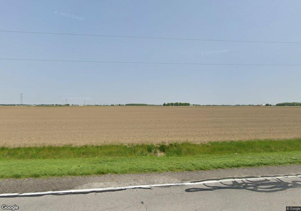
1542 County Road S Unit 4-1 Swanton, OH 43558
Estimated Value: $235,000 - $250,000
2
Beds
2
Baths
1,468
Sq Ft
$165/Sq Ft
Est. Value
About This Home
This home is located at 1542 County Road S Unit 4-1, Swanton, OH 43558 and is currently estimated at $241,857, approximately $164 per square foot. 1542 County Road S Unit 4-1 is a home located in Fulton County with nearby schools including Liberty Center Elementary School, Liberty Center Middle School, and Liberty Center High School.
Ownership History
Date
Name
Owned For
Owner Type
Purchase Details
Closed on
Feb 2, 2024
Sold by
Meyer Brian W and Meyer Bernadette F
Bought by
Piasecki Paige L and Hawkins Cory L
Current Estimated Value
Home Financials for this Owner
Home Financials are based on the most recent Mortgage that was taken out on this home.
Original Mortgage
$209,000
Outstanding Balance
$205,144
Interest Rate
6.38%
Mortgage Type
New Conventional
Estimated Equity
$36,713
Purchase Details
Closed on
Apr 13, 2023
Sold by
Zeunen Matthew R
Bought by
Meyer Brian W and Meyer Bernadette F
Home Financials for this Owner
Home Financials are based on the most recent Mortgage that was taken out on this home.
Original Mortgage
$380,000
Interest Rate
6.6%
Mortgage Type
Seller Take Back
Create a Home Valuation Report for This Property
The Home Valuation Report is an in-depth analysis detailing your home's value as well as a comparison with similar homes in the area
Home Values in the Area
Average Home Value in this Area
Purchase History
| Date | Buyer | Sale Price | Title Company |
|---|---|---|---|
| Piasecki Paige L | $220,000 | None Listed On Document | |
| Piasecki Paige L | $220,000 | None Listed On Document | |
| Meyer Brian W | $200,000 | None Listed On Document | |
| Meyer Brian W | $200,000 | None Listed On Document |
Source: Public Records
Mortgage History
| Date | Status | Borrower | Loan Amount |
|---|---|---|---|
| Open | Piasecki Paige L | $209,000 | |
| Closed | Piasecki Paige L | $209,000 | |
| Previous Owner | Meyer Brian W | $380,000 |
Source: Public Records
Tax History Compared to Growth
Tax History
| Year | Tax Paid | Tax Assessment Tax Assessment Total Assessment is a certain percentage of the fair market value that is determined by local assessors to be the total taxable value of land and additions on the property. | Land | Improvement |
|---|---|---|---|---|
| 2024 | $2,363 | $54,710 | $10,080 | $44,630 |
| 2023 | $2,367 | $54,710 | $10,080 | $44,630 |
| 2022 | $1,976 | $42,740 | $8,400 | $34,340 |
| 2021 | $2,054 | $42,740 | $8,400 | $34,340 |
| 2020 | $1,982 | $42,740 | $8,400 | $34,340 |
| 2019 | $1,667 | $35,500 | $8,090 | $27,410 |
| 2018 | $1,489 | $35,500 | $8,090 | $27,410 |
| 2017 | $1,506 | $35,500 | $8,090 | $27,410 |
| 2016 | $1,458 | $31,960 | $8,090 | $23,870 |
| 2015 | $1,349 | $31,960 | $8,090 | $23,870 |
| 2014 | $1,370 | $31,960 | $8,090 | $23,870 |
| 2013 | $1,399 | $37,630 | $8,610 | $29,020 |
Source: Public Records
Map
Nearby Homes
- 2121 County Road 4
- 1797 County Road 5
- 2239 County Road 3
- 3466 County Road V
- 600 North St
- 970 County Road 3
- 2511 County Road D
- U266 County Road 2
- U344 County Road 2
- 1932 County Road D
- 4329 County Road 1 #2
- 3101 County Road 1
- 1568 County Road D
- 3667 County Road 1
- 13833 Central Ave
- 3121 County Road Ef
- 2076 County Rd E
- 366 Douglas Dr
- 384 Douglas Dr
- 664 Ariel Ct
- 1610 County Road E Unit 4-1
- 1514 County Road S Unit 4-1
- 1589 County Road 4 1
- 1670 County Road 4 1
- 1771 County Road 4 1
- 1717 County Road 4 1
- 1690 County Road 4 1
- 1733 County Road S Unit 4-1
- 1595 County Road 4
- 1555 County Road 4
- 1717 County Road S Unit 4-1
- 1770 County Road 4 1
- 1770 County Road S Unit 4-1
- 1641 County Road 4
- 1675 County Road 4
- 0 Co Rd 4 Unit 5098744
- 0 Co Rd 4 Unit 9009955
- 0 Co Rd 4 Unit 2004107
- 1465 County Road 4
- 1610 County Road 4
