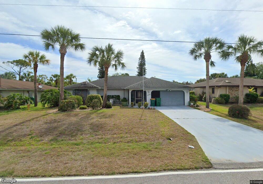
1542 Forand Cir Port Charlotte, FL 33952
Estimated Value: $318,000 - $353,000
3
Beds
2
Baths
1,883
Sq Ft
$176/Sq Ft
Est. Value
About This Home
This home is located at 1542 Forand Cir, Port Charlotte, FL 33952 and is currently estimated at $332,040, approximately $176 per square foot. 1542 Forand Cir is a home located in Charlotte County with nearby schools including Neil Armstrong Elementary School, Murdock Middle School, and Port Charlotte High School.
Ownership History
Date
Name
Owned For
Owner Type
Purchase Details
Closed on
May 19, 2023
Sold by
Mazzetta Janka
Bought by
Mazzetta-Price Belinda
Current Estimated Value
Purchase Details
Closed on
Sep 7, 2022
Sold by
Mazzetta Douglas F
Bought by
Mazzetta-Price Belinda and Mazzetta Janka B
Purchase Details
Closed on
Dec 2, 1996
Sold by
Simpson Ruth
Bought by
Mazzetta Frank and Mazzetta Berdina J
Create a Home Valuation Report for This Property
The Home Valuation Report is an in-depth analysis detailing your home's value as well as a comparison with similar homes in the area
Home Values in the Area
Average Home Value in this Area
Purchase History
| Date | Buyer | Sale Price | Title Company |
|---|---|---|---|
| Mazzetta-Price Belinda | $100 | None Listed On Document | |
| Mazzetta-Price Belinda | $100 | -- | |
| Mazzetta-Price Belinda | $100 | None Listed On Document | |
| Mazzetta Frank | $110,000 | -- |
Source: Public Records
Tax History Compared to Growth
Tax History
| Year | Tax Paid | Tax Assessment Tax Assessment Total Assessment is a certain percentage of the fair market value that is determined by local assessors to be the total taxable value of land and additions on the property. | Land | Improvement |
|---|---|---|---|---|
| 2024 | $4,891 | $324,516 | $25,500 | $299,016 |
| 2023 | $4,891 | $214,994 | $0 | $0 |
| 2022 | $4,195 | $257,011 | $20,400 | $236,611 |
| 2021 | $3,614 | $177,681 | $9,138 | $168,543 |
| 2020 | $3,558 | $174,969 | $8,500 | $166,469 |
| 2019 | $3,620 | $180,696 | $8,500 | $172,196 |
| 2018 | $3,161 | $163,580 | $7,650 | $155,930 |
| 2017 | $2,976 | $150,063 | $7,616 | $142,447 |
| 2016 | $1,407 | $93,031 | $0 | $0 |
| 2015 | $1,392 | $92,384 | $0 | $0 |
| 2014 | $1,367 | $91,651 | $0 | $0 |
Source: Public Records
Map
Nearby Homes
- 1529 Fireside St
- 1505 Harbor Blvd
- 21432 Bryn Mawr Ave
- 1497 Harbor Blvd
- 1505 Fireside St
- 21460 Dawson Ave
- 21431 Circlewood Ave
- 1578 Adrian St
- 2116 Hanson St
- 1425 Harbor Blvd
- 1603 Scotten St
- 2144 Harbor Blvd
- 1586 Scotten St
- 21327 Midway Blvd
- 1556 Birchcrest Blvd
- 1516 Birchcrest Blvd
- 21290 Glendale Ave
- 1604 Birchcrest Blvd
- 21330 Meehan Ave
- 21530 Glendale Ave
- 1534 Forand Cir
- 1550 Forand Cir
- 1558 Forand Cir
- 1533 Forand Cir
- 1518 Forand Cir
- 1557 Forand Cir
- 1521 Harbor Blvd
- 1513 Harbor Blvd
- 1566 Forand Cir
- 1529 Harbor Blvd
- 1522 Fireside St
- 1522 Street
- 1530 Fireside St
- 1517 Forand Cir
- 1537 Harbor Blvd
- 1506 Fireside St
- 1508 Forand Cir
- 1537 Boulevard
- 1538 Fireside St
- 21371 Cottonwood Ave