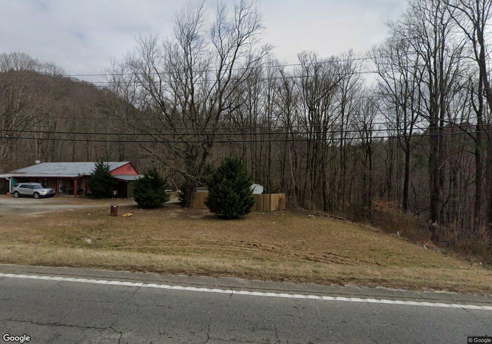
1542 Highway 441 N Clayton, GA 30525
Estimated Value: $177,000 - $336,000
3
Beds
4
Baths
2,022
Sq Ft
$132/Sq Ft
Est. Value
About This Home
This home is located at 1542 Highway 441 N, Clayton, GA 30525 and is currently estimated at $267,495, approximately $132 per square foot. 1542 Highway 441 N is a home located in Rabun County with nearby schools including Rabun County Primary School, Rabun County High School, and Great Oaks Montessori .
Ownership History
Date
Name
Owned For
Owner Type
Purchase Details
Closed on
Jul 12, 2022
Sold by
Setzer Michael W
Bought by
Paramo Investments Llc
Current Estimated Value
Purchase Details
Closed on
Jan 5, 2005
Sold by
Blalock Jimmy W
Bought by
Setzer Michael W
Home Financials for this Owner
Home Financials are based on the most recent Mortgage that was taken out on this home.
Original Mortgage
$150,000
Interest Rate
5.61%
Mortgage Type
New Conventional
Purchase Details
Closed on
Aug 1, 2004
Purchase Details
Closed on
Jun 1, 2004
Purchase Details
Closed on
Apr 1, 1998
Purchase Details
Closed on
Mar 1, 1988
Create a Home Valuation Report for This Property
The Home Valuation Report is an in-depth analysis detailing your home's value as well as a comparison with similar homes in the area
Home Values in the Area
Average Home Value in this Area
Purchase History
| Date | Buyer | Sale Price | Title Company |
|---|---|---|---|
| Paramo Investments Llc | $150,000 | -- | |
| Paramo Investments Llc | $150,000 | -- | |
| Setzer Michael W | $172,500 | -- | |
| Setzer Michael W | $172,500 | -- | |
| -- | -- | -- | |
| -- | -- | -- | |
| -- | $165,000 | -- | |
| -- | $165,000 | -- | |
| -- | -- | -- | |
| -- | -- | -- | |
| -- | $50,000 | -- | |
| -- | $50,000 | -- |
Source: Public Records
Mortgage History
| Date | Status | Borrower | Loan Amount |
|---|---|---|---|
| Previous Owner | Setzer Michael W | $150,000 |
Source: Public Records
Tax History Compared to Growth
Tax History
| Year | Tax Paid | Tax Assessment Tax Assessment Total Assessment is a certain percentage of the fair market value that is determined by local assessors to be the total taxable value of land and additions on the property. | Land | Improvement |
|---|---|---|---|---|
| 2025 | $1,039 | $64,762 | $22,000 | $42,762 |
| 2024 | $995 | $62,018 | $22,000 | $40,018 |
| 2023 | $1,085 | $59,274 | $22,000 | $37,274 |
| 2022 | $1,063 | $60,102 | $24,200 | $35,902 |
| 2021 | $1,169 | $64,344 | $26,400 | $37,944 |
| 2020 | $1,178 | $62,727 | $30,800 | $31,927 |
| 2019 | $1,186 | $62,727 | $30,800 | $31,927 |
| 2018 | $1,190 | $62,727 | $30,800 | $31,927 |
| 2017 | $1,142 | $62,727 | $30,800 | $31,927 |
| 2016 | $1,145 | $62,727 | $30,800 | $31,927 |
| 2015 | $1,169 | $62,696 | $30,800 | $31,896 |
| 2014 | $1,175 | $62,696 | $30,800 | $31,896 |
Source: Public Records
Map
Nearby Homes
- 331 Black Bear Den Rd
- 527 Abby Ln
- 1327 Pinnacle Dr
- 700 Prime Hill Dr
- 34 Living Waters Way Unit 2F
- 1806 Pinnacle Dr
- 1387 Valley St
- 0 Forest Canopy Way Unit 11
- 1 Electric Ave
- 620 Falling Creek Trail
- 11 Electric Ave
- 117 Avalon St
- 2 Raven Ridge Rd
- 0 Raven Ridge Rd
- 0 Green St Unit 10565711
- 18 Living Waters Way
- 22 Living Waters Way Unit 2C
- 55 Wallace St
- 300 Ginger Creek Ln Unit 203
- 300 Ginger Creek Ln Unit 303
- 1552 Highway 441
- 1542 U S 441
- 1569 Highway 441 N
- 4 Intersection Ln
- 28 Intersection Ln
- 22 Jiles Dr
- 34 Humphrey Ln
- 7 Intersection Ln
- 1556 Old 441 N
- 1521 Old 441 N
- 1521 Old Hwy 441 N
- 86 Humphrey Ln
- 34 Saint Ln
- 41 Humphrey Ln
- 116 Humphrey Ln
- 515 Leaf Wood Ln Unit B
- 1467 Old 441 N
- 1467 Old 441 N Unit &1465
- 117 Humphrey Ln
- 23 Saint Ln