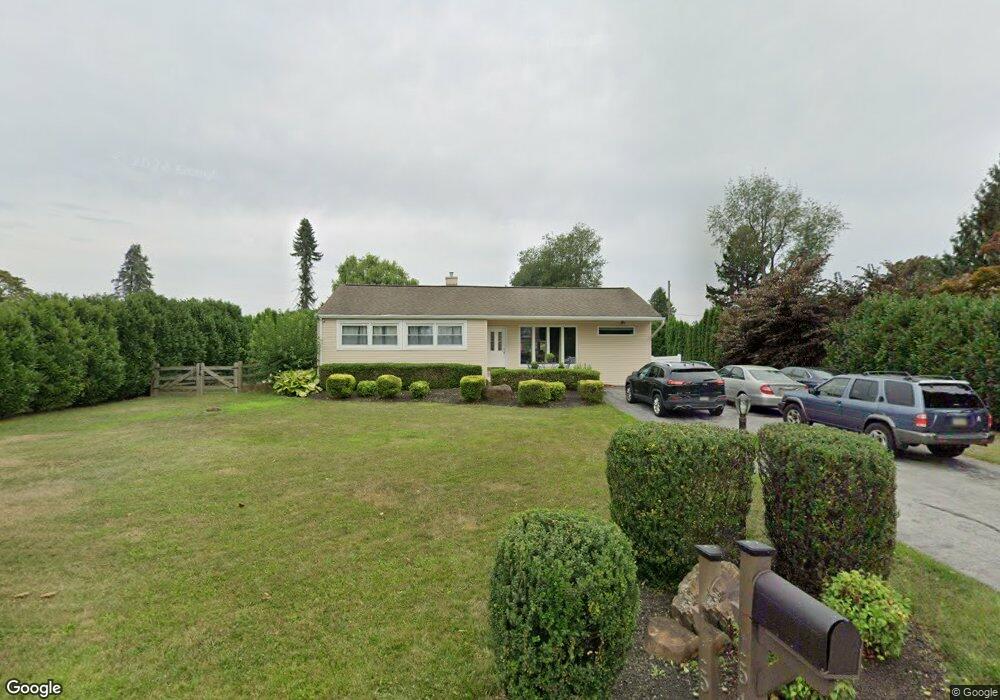
1542 Marlboro Rd West Chester, PA 19382
Estimated Value: $462,000 - $531,857
3
Beds
1
Bath
1,056
Sq Ft
$473/Sq Ft
Est. Value
About This Home
This home is located at 1542 Marlboro Rd, West Chester, PA 19382 and is currently estimated at $498,964, approximately $472 per square foot. 1542 Marlboro Rd is a home located in Chester County with nearby schools including Penn Wood Elementary School, Stetson Middle School, and Bayard Rustin High School.
Ownership History
Date
Name
Owned For
Owner Type
Purchase Details
Closed on
Sep 19, 2024
Sold by
Pierce Shirley J and Barbati Shirley J
Bought by
Pierce Samantha F and Pierce Andrew J
Current Estimated Value
Purchase Details
Closed on
Apr 30, 2008
Sold by
Pierce Shirley J and Pierce Stephen M
Bought by
The Bank Of New York and Jp Morgan Chase Bank Na
Purchase Details
Closed on
Sep 29, 1995
Sold by
Weaver Joseph N and Weaver Faith E
Bought by
Pierce Stephen M and Pierce Shirley J
Home Financials for this Owner
Home Financials are based on the most recent Mortgage that was taken out on this home.
Original Mortgage
$108,000
Interest Rate
6.12%
Create a Home Valuation Report for This Property
The Home Valuation Report is an in-depth analysis detailing your home's value as well as a comparison with similar homes in the area
Home Values in the Area
Average Home Value in this Area
Purchase History
| Date | Buyer | Sale Price | Title Company |
|---|---|---|---|
| Pierce Samantha F | -- | None Listed On Document | |
| The Bank Of New York | -- | None Available | |
| Pierce Stephen M | $135,000 | -- |
Source: Public Records
Mortgage History
| Date | Status | Borrower | Loan Amount |
|---|---|---|---|
| Previous Owner | Pierce Stephen M | $108,000 |
Source: Public Records
Tax History Compared to Growth
Tax History
| Year | Tax Paid | Tax Assessment Tax Assessment Total Assessment is a certain percentage of the fair market value that is determined by local assessors to be the total taxable value of land and additions on the property. | Land | Improvement |
|---|---|---|---|---|
| 2025 | $4,912 | $158,940 | $36,920 | $122,020 |
| 2024 | $4,912 | $158,940 | $36,920 | $122,020 |
| 2023 | $4,879 | $158,940 | $36,920 | $122,020 |
| 2022 | $4,786 | $158,940 | $36,920 | $122,020 |
| 2021 | $4,723 | $158,940 | $36,920 | $122,020 |
| 2020 | $4,694 | $158,940 | $36,920 | $122,020 |
| 2019 | $4,632 | $158,940 | $36,920 | $122,020 |
| 2018 | $4,538 | $158,940 | $36,920 | $122,020 |
| 2017 | $3,701 | $132,320 | $36,920 | $95,400 |
| 2016 | $2,954 | $132,320 | $36,920 | $95,400 |
| 2015 | $2,954 | $132,320 | $36,920 | $95,400 |
| 2014 | $2,954 | $132,320 | $36,920 | $95,400 |
Source: Public Records
Map
Nearby Homes
- 48 Hunters Ln
- 4 Portsmouth Cir
- 801 Winchester Ct Unit 801
- 2305 Westfield Ct
- 1007 Stoneham Dr Unit 1007B
- 413 Leslie Ln
- 2701 Stoneham Dr Unit 2701
- 1545 Pheasant Ln. & 193a Middletown Rd
- 1545 Pheasant Ln
- 110 Fairfield Ct
- 1518 Manley Rd Unit B17
- 1518 Manley Rd Unit B20
- 1541 Farmers Ln
- 1541 Farmers Ln
- 15 Ridings Way Unit 5
- 24 Redtail Ct Unit 103
- 52 Juliet Ln
- 567 Summit House Unit 567
- 573 Summit House Unit 573
- 650 Summit House Unit 650
- 1540 Marlboro Rd
- 1544 Marlboro Rd
- 1538 Marlboro Rd
- 1543 Overhill Rd
- 1546 Marlboro Rd
- 1545 Overhill Rd
- 1543 Marlboro Rd
- 1541 Marlboro Rd
- 1545 Marlboro Rd
- 1539 Overhill Rd
- 1547 Overhill Rd
- 1536 Marlboro Rd
- 1548 Marlboro Rd
- 1539 Marlboro Rd
- 1547 Marlboro Rd
- 1537 Overhill Rd
- 1549 Overhill Rd
- 1535 Overhill Rd
- 1537 Marlboro Rd
- 1534 Marlboro Rd