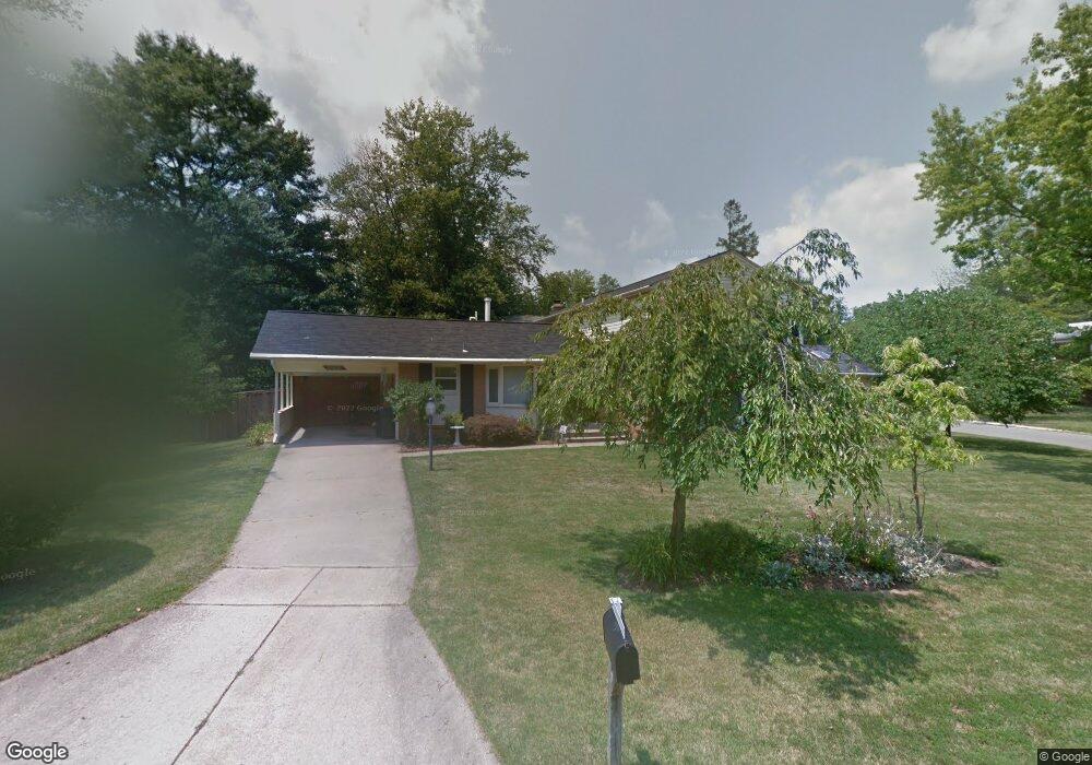
15420 Straughn Dr Laurel, MD 20707
West Laurel NeighborhoodEstimated Value: $578,000 - $608,000
About This Home
This home is located at 15420 Straughn Dr, Laurel, MD 20707 and is currently estimated at $598,675, approximately $283 per square foot. 15420 Straughn Dr is a home located in Prince George's County with nearby schools including Bond Mill Elementary, Martin Luther King Jr. Middle School, and Laurel High School.
Ownership History
We collect this data history from publicly available records. To have your information removed, we recommend requesting removal directly through your county’s website.
Purchase Details
Home Financials for this Owner
Home Financials are based on the most recent Mortgage that was taken out on this home.Purchase Details
Home Values in the Area
Average Home Value in this Area
Purchase History
We collect this data history from publicly available records. To have your information removed, we recommend requesting removal directly through your county’s website.
| Date | Buyer | Sale Price | Title Company |
|---|---|---|---|
| $472,900 | -- | ||
| $60,000 | -- |
Mortgage History
We collect this data history from publicly available records. To have your information removed, we recommend requesting removal directly through your county’s website.
| Date | Status | Borrower | Loan Amount |
|---|---|---|---|
| Open | $351,500 | ||
| Closed | $310,000 | ||
| Closed | $352,700 | ||
| Previous Owner | $373,965 |
Tax History
We collect this data history from publicly available records. To have your information removed, we recommend requesting removal directly through your county’s website.
| Year | Tax Paid | Tax Assessment Tax Assessment Total Assessment is a certain percentage of the fair market value that is determined by local assessors to be the total taxable value of land and additions on the property. | Land | Improvement |
|---|---|---|---|---|
| 2025 | $6,857 | $512,200 | $126,300 | $385,900 |
| 2024 | $6,857 | $486,933 | ||
| 2023 | $6,614 | $461,667 | $0 | $0 |
| 2022 | $6,302 | $436,400 | $101,300 | $335,100 |
| 2021 | $5,997 | $410,567 | $0 | $0 |
| 2020 | $5,835 | $384,733 | $0 | $0 |
| 2019 | $4,475 | $358,900 | $100,600 | $258,300 |
| 2018 | $4,350 | $350,133 | $0 | $0 |
| 2017 | $5,386 | $341,367 | $0 | $0 |
| 2016 | -- | $332,600 | $0 | $0 |
| 2015 | $4,979 | $329,633 | $0 | $0 |
| 2014 | $4,979 | $326,667 | $0 | $0 |
Map
- 16098 Gales St
- 15605 Bond Mill Rd
- 16308 Gales St
- 6306 Sandy St
- 6504 Walker Branch Dr
- 16704 Goldsborough Ave
- 15405 Bounds Ave
- 6806 Diploma Dr
- 6707 Sandy View Ct
- 15800 Kerr Rd
- 15000 Saddle Creek Dr
- 7012 Redmiles Rd
- 7001 Marmick Place
- 6920 Scotch Dr
- 6942 Scotch Dr
- 6918 Scotch Dr
- 6925 Scotch Dr
- 41 Scarlet Sage Ct
- 4345 Regalwood Terrace
- 28 Scarlet Sage Ct
- 6009 Wiss Dr
- 15400 Straughn Dr
- 6007 Wiss Dr
- 15409 Straughn Dr
- 15411 Straughn Dr
- 15500 Straughn Dr
- 6008 Wiss Dr
- 15407 Straughn Dr
- 15501 Straughn Dr
- 15316 Straughn Dr
- 6006 Wiss Dr
- 15405 Straughn Dr
- 15503 Straughn Dr
- 15504 Straughn Dr
- 15314 Straughn Dr
- 15403 Straughn Dr
- 15919 Jerald Rd
- 16008 Kent Rd
- 16006 Kent Rd
- 15505 Straughn Dr
Ask me questions while you tour the home.