15422 S Wind Rd W Harbor, OR 97415
Estimated Value: $1,359,271
3
Beds
4
Baths
3,020
Sq Ft
$450/Sq Ft
Est. Value
About This Home
This home is located at 15422 S Wind Rd W, Harbor, OR 97415 and is currently estimated at $1,359,271, approximately $450 per square foot. 15422 S Wind Rd W is a home located in Curry County with nearby schools including Kalmiopsis Elementary School, Azalea Middle School, and Brookings-Harbor High School.
Ownership History
Date
Name
Owned For
Owner Type
Purchase Details
Closed on
May 19, 2017
Sold by
Myers Robert
Bought by
Dowling David A and Dowling Peggy A
Current Estimated Value
Home Financials for this Owner
Home Financials are based on the most recent Mortgage that was taken out on this home.
Original Mortgage
$345,000
Outstanding Balance
$285,881
Interest Rate
3.97%
Mortgage Type
New Conventional
Estimated Equity
$1,073,390
Purchase Details
Closed on
Mar 15, 2006
Sold by
Frostad Wayne A
Bought by
Frostad Wayne A and Frostad Joann
Purchase Details
Closed on
Jul 14, 2005
Sold by
Frostad Wayne A and Frostad Joann
Bought by
Frostad Wayne A and Frostad Joann W
Purchase Details
Closed on
Jun 8, 2005
Sold by
Frostad Wayne A and Frostad Joann W
Bought by
Frostad Wayne A and Frostad Jo Ann
Create a Home Valuation Report for This Property
The Home Valuation Report is an in-depth analysis detailing your home's value as well as a comparison with similar homes in the area
Home Values in the Area
Average Home Value in this Area
Purchase History
| Date | Buyer | Sale Price | Title Company |
|---|---|---|---|
| Dowling David A | $740,000 | Curry County Title Inc | |
| Frostad Wayne A | -- | None Available | |
| Frostad Wayne A | -- | First American Title Co | |
| Frostad Wayne A | -- | None Available |
Source: Public Records
Mortgage History
| Date | Status | Borrower | Loan Amount |
|---|---|---|---|
| Open | Dowling David A | $345,000 |
Source: Public Records
Tax History Compared to Growth
Tax History
| Year | Tax Paid | Tax Assessment Tax Assessment Total Assessment is a certain percentage of the fair market value that is determined by local assessors to be the total taxable value of land and additions on the property. | Land | Improvement |
|---|---|---|---|---|
| 2024 | $3,856 | $651,050 | -- | -- |
| 2023 | $3,744 | $632,090 | $0 | $0 |
| 2022 | $3,635 | $613,680 | $0 | $0 |
| 2021 | $3,529 | $595,810 | $0 | $0 |
| 2020 | $3,771 | $578,460 | $0 | $0 |
| 2019 | $3,356 | $561,620 | $0 | $0 |
| 2018 | $3,642 | $545,270 | $0 | $0 |
| 2017 | $3,493 | $525,300 | $0 | $0 |
| 2016 | $3,405 | $512,130 | $0 | $0 |
| 2015 | $3,344 | $531,070 | $0 | $0 |
| 2014 | $3,344 | $500,600 | $0 | $0 |
Source: Public Records
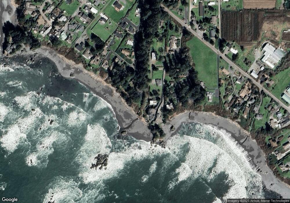
Map
Nearby Homes
- 15422 Southwind Ln
- 15505 Oceanview Dr Unit 16
- 0 Oceanview Dr Unit 387796081
- 15289 Oceanview Dr
- 15609 Highway 101 S
- 15765 Highway 101 S Unit 9
- 15780 Pelican Bay Dr
- 0 Pelican Bay Dr Unit 900 412485014
- 98620 Camellia Dr
- 97950 Holly Ln
- 15819 U S 101
- 15870 Pedrioli Dr
- 98045 Olsen Ln Unit 6
- 0 Upper Benham Ln Unit 100481686
- 0 Upper Benham Ln Unit 300 380814467
- 0 Sea Breeze Unit 19 23659304
- 0 Sea Breeze Unit 18 21244669
- 98147 W Nelson Dr
- 97997 Olsen Ln
- 98609 Camellia Dr
- 15446 Southwind Ln
- 15438 Southwind Ln
- 15436 Southwind Ln
- 15462 Morrison Ln
- 15442 Southwind Ln
- 15460 Morrison Ln
- 15439 Southwind Ln
- 15441 Southwind Ln
- 15532 Oceanview Dr
- 15532 Oceanview Dr
- 15452 Morrison Ln
- 0 S Wind Ln
- 15450 Morrison Ln
- 15482 Morrison Ln
- 15473 Southwind Ln
- 15446 Morrison Ln
- 0 Southwind Ln
- 15488 Morrison Ln
- 15440 Morrison Ln
- 15480 Southwind Ln