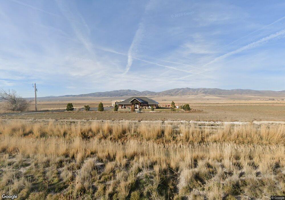
15425 E Canal Rd Howell, UT 84316
Estimated Value: $737,781
Studio
--
Bath
2,529
Sq Ft
$292/Sq Ft
Est. Value
About This Home
This home is located at 15425 E Canal Rd, Howell, UT 84316 and is currently estimated at $737,781, approximately $291 per square foot. 15425 E Canal Rd is a home with nearby schools including Snowville School, Alice C. Harris Intermediate School, and Bear River Middle School.
Ownership History
Date
Name
Owned For
Owner Type
Purchase Details
Closed on
Aug 7, 2015
Sold by
Unknown Unknown
Bought by
Unknown Unknown
Current Estimated Value
Purchase Details
Closed on
Oct 8, 2014
Sold by
Holt Darrell D and Holt Christine D
Bought by
The Darrell And Christine Holt Family Tr
Purchase Details
Closed on
May 14, 2013
Sold by
Bailey Vint G
Bought by
Zions First National Bank Na
Create a Home Valuation Report for This Property
The Home Valuation Report is an in-depth analysis detailing your home's value as well as a comparison with similar homes in the area
Purchase History
| Date | Buyer | Sale Price | Title Company |
|---|---|---|---|
| Unknown Unknown | $50,000 | American Secure Title | |
| The Darrell And Christine Holt Family Tr | -- | Security Title Of Davis Coun | |
| Zions First National Bank Na | -- | None Available |
Source: Public Records
Tax History
| Year | Tax Paid | Tax Assessment Tax Assessment Total Assessment is a certain percentage of the fair market value that is determined by local assessors to be the total taxable value of land and additions on the property. | Land | Improvement |
|---|---|---|---|---|
| 2025 | $3,421 | $633,947 | $50,306 | $583,641 |
| 2024 | $2,982 | $630,959 | $49,372 | $581,587 |
| 2023 | $2,810 | $594,966 | $38,244 | $556,722 |
| 2022 | $2,796 | $563,168 | $33,633 | $529,535 |
| 2021 | $1,908 | $336,468 | $24,322 | $312,146 |
| 2020 | $1,959 | $336,468 | $24,322 | $312,146 |
| 2019 | $1,718 | $163,062 | $19,995 | $143,067 |
| 2018 | $1,841 | $166,751 | $23,684 | $143,067 |
| 2017 | $1,927 | $289,462 | $24,773 | $260,122 |
| 2016 | $1,833 | $155,614 | $24,501 | $131,113 |
| 2015 | $1,783 | $155,886 | $24,773 | $131,113 |
| 2014 | $1,783 | $150,226 | $25,356 | $124,870 |
| 2013 | -- | $151,626 | $26,756 | $124,870 |
Source: Public Records
Map
Nearby Homes
- 17190 W 14400 North St
- 11080 N Cullimore Ln
- 12695 N 10800 W
- 13464 N 10800 W Unit 4
- 13585 N 10000 W
- 10090 W 12000 N
- 10045 W 12000 N
- 4596 W 9250 N
- 9115 N 11600 W
- 10296 N 5020 W Unit 28
- 229 W 1470 S
- 229 W 1470 S Unit 44
- 5055 W 10100 N Unit 4
- 10345 N Vista Ln
- 10959 N 8300 W
- 5286 W 10800 N
- 233 W 1470 S
- 5069 W 10100 N Unit 5
- 5161 W 10100 N
- 5083 W 10100 N Unit 6
- 15450 E Canal Rd
- 15380 E Canal Rd
- 15480 E Canal Rd
- 15425 N Highway 83
- 15370 N Highway 83
- 15520 Canal Rd
- 15380 N Highway 83
- 15585 Wild Horse Dr
- 15580 NE Canal Rd
- 16030 NE Canal Rd W
- 15465 N Highway 83
- 15210 N 17200 W
- 15455 N Highway 83
- 15180 N 17200 W
- 15460 N Highway 83
- 15580 Wild Horse Dr
- 15530 N Highway 83
- 15525 N Highway 83
- 15570 Utah 83
- 15570 N Highway 83
Your Personal Tour Guide
Ask me questions while you tour the home.