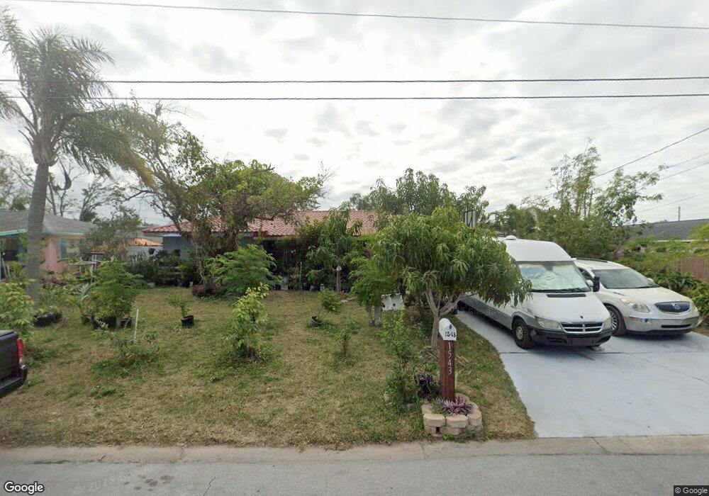
1543 Andover Dr Dunedin, FL 34698
Estimated Value: $383,000 - $469,000
3
Beds
2
Baths
1,694
Sq Ft
$249/Sq Ft
Est. Value
About This Home
This home is located at 1543 Andover Dr, Dunedin, FL 34698 and is currently estimated at $421,616, approximately $248 per square foot. 1543 Andover Dr is a home located in Pinellas County with nearby schools including Garrison-Jones Elementary School, Dunedin Highland Middle School, and Dunedin High School.
Ownership History
Date
Name
Owned For
Owner Type
Purchase Details
Closed on
Mar 11, 2009
Sold by
Wells Fargo Bank Na
Bought by
Pille Letecia J and Pille Edwin C
Current Estimated Value
Home Financials for this Owner
Home Financials are based on the most recent Mortgage that was taken out on this home.
Original Mortgage
$95,144
Interest Rate
4.88%
Mortgage Type
FHA
Purchase Details
Closed on
Dec 2, 2008
Sold by
Vlahos Illas and Vlahos Sophia
Bought by
Wells Fargo Bank Na
Create a Home Valuation Report for This Property
The Home Valuation Report is an in-depth analysis detailing your home's value as well as a comparison with similar homes in the area
Home Values in the Area
Average Home Value in this Area
Purchase History
| Date | Buyer | Sale Price | Title Company |
|---|---|---|---|
| Pille Letecia J | $96,900 | Watson Title Insurance Agenc | |
| Wells Fargo Bank Na | -- | None Available |
Source: Public Records
Mortgage History
| Date | Status | Borrower | Loan Amount |
|---|---|---|---|
| Previous Owner | Pille Letecia J | $95,144 |
Source: Public Records
Tax History Compared to Growth
Tax History
| Year | Tax Paid | Tax Assessment Tax Assessment Total Assessment is a certain percentage of the fair market value that is determined by local assessors to be the total taxable value of land and additions on the property. | Land | Improvement |
|---|---|---|---|---|
| 2024 | $1,687 | $141,894 | -- | -- |
| 2023 | $1,687 | $137,761 | $0 | $0 |
| 2022 | $1,627 | $133,749 | $0 | $0 |
| 2021 | $1,636 | $129,853 | $0 | $0 |
| 2020 | $1,626 | $128,060 | $0 | $0 |
| 2019 | $1,588 | $125,181 | $0 | $0 |
| 2018 | $1,559 | $122,847 | $0 | $0 |
| 2017 | $1,539 | $120,320 | $0 | $0 |
| 2016 | $1,520 | $117,845 | $0 | $0 |
| 2015 | $1,545 | $117,026 | $0 | $0 |
| 2014 | $1,507 | $116,097 | $0 | $0 |
Source: Public Records
Map
Nearby Homes
- 1052 Concord Dr W
- 1609 Summit Way
- 1311 Powderpuff Dr Unit 1009
- 1311 Powderpuff Dr Unit 4
- 1007 Vineyard Ct
- 1341 Azalea Dr Unit 1906
- 1600 Dale Cir W
- 1421 Heather Dr
- 1457 Heather Dr
- 1155 E Lotus Dr
- 1415 Main St Unit 443
- 1415 Main St Unit 287
- 1415 Main St Unit 50
- 1415 Main St
- 1415 Main St Unit 120
- 1415 Main St Unit 219
- 1415 Main St Unit 23
- 1415 Main St Unit 496
- 1415 Main St Unit 408
- 1415 Main St Unit 93
- 1545 Andover Dr
- 1135 Keene Rd
- 1547 Andover Dr
- 1542 Andover Dr
- 1550 Main St
- 1159 Keene Rd
- 1567 Andover Dr
- 1140 Keene Rd
- 1201 County Road 1
- 1168 Lazy Lake Rd W
- 1144 Keene Rd
- 1169 Keene Rd
- 1550 Andover Dr
- 1156 Keene Rd
- 1579 Andover Dr
- 1178 Lazy Lake Rd W
- 1177 Keene Rd
- 1169 Lazy Lake Rd W
- 1168 Keene Rd
- 1591 Andover Dr