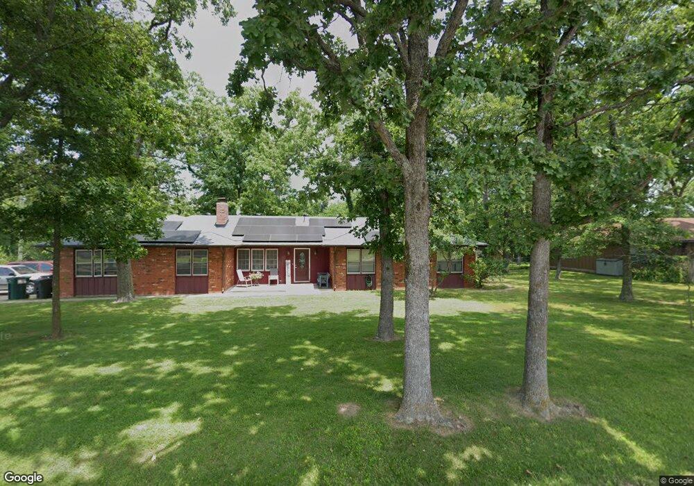
1543 E Laird St Bolivar, MO 65613
Estimated Value: $238,000 - $257,000
3
Beds
3
Baths
1,828
Sq Ft
$134/Sq Ft
Est. Value
About This Home
This home is located at 1543 E Laird St, Bolivar, MO 65613 and is currently estimated at $245,313, approximately $134 per square foot. 1543 E Laird St is a home with nearby schools including Bolivar Intermediate School, Bolivar Primary School, and Bolivar Middle School.
Ownership History
Date
Name
Owned For
Owner Type
Purchase Details
Closed on
Sep 3, 2025
Sold by
Mccullah Clayton and Mccullah Amanda
Bought by
Oursbourn Drew and Oursbourn Heather
Current Estimated Value
Home Financials for this Owner
Home Financials are based on the most recent Mortgage that was taken out on this home.
Original Mortgage
$283,765
Outstanding Balance
$283,765
Interest Rate
6.72%
Mortgage Type
FHA
Estimated Equity
-$38,452
Purchase Details
Closed on
Apr 21, 2017
Sold by
Kenneth Keil and Trrt Deborah Trrt
Bought by
Mccullah Clayton and Mccullah Amanda
Home Financials for this Owner
Home Financials are based on the most recent Mortgage that was taken out on this home.
Original Mortgage
$94,960
Interest Rate
4.21%
Mortgage Type
New Conventional
Create a Home Valuation Report for This Property
The Home Valuation Report is an in-depth analysis detailing your home's value as well as a comparison with similar homes in the area
Home Values in the Area
Average Home Value in this Area
Purchase History
| Date | Buyer | Sale Price | Title Company |
|---|---|---|---|
| Oursbourn Drew | -- | None Listed On Document | |
| Mccullah Clayton | $118,700 | -- |
Source: Public Records
Mortgage History
| Date | Status | Borrower | Loan Amount |
|---|---|---|---|
| Open | Oursbourn Drew | $283,765 | |
| Previous Owner | Mccullah Clayton | $94,960 |
Source: Public Records
Tax History Compared to Growth
Tax History
| Year | Tax Paid | Tax Assessment Tax Assessment Total Assessment is a certain percentage of the fair market value that is determined by local assessors to be the total taxable value of land and additions on the property. | Land | Improvement |
|---|---|---|---|---|
| 2024 | $10 | $19,210 | $0 | $0 |
| 2023 | $1,025 | $19,210 | $0 | $0 |
| 2022 | $872 | $17,140 | $0 | $0 |
| 2021 | $868 | $17,140 | $0 | $0 |
| 2020 | $818 | $16,020 | $0 | $0 |
| 2019 | $818 | $16,020 | $0 | $0 |
| 2018 | $755 | $14,610 | $0 | $0 |
| 2017 | $753 | $14,610 | $0 | $0 |
| 2016 | $753 | $14,610 | $0 | $0 |
| 2015 | -- | $14,610 | $0 | $0 |
| 2014 | -- | $14,420 | $0 | $0 |
Source: Public Records
Map
Nearby Homes
- 000 & 3801 Highway D
- 0000 E Destin St Unit Lots 57-60
- 1950 E Meadow Dr
- 720 E Vivian St
- 000 E Lindon St
- 1018 E Locust St
- 305 N Flint Ave
- 001 S 82 Rd
- 512 E Lindon St
- 509 E Freeman St
- 1025 N Market Ave
- 514 N Wilson Ave
- 000 S Idlewood Way
- 125 E Pennell St
- 380 S Hartford Ave
- 475 S Gary Ave
- 4277 S 140th Rd
- 327 E Chestnut St
- 000 E Walnut St
- 721 N Canton Ave
- 1585 E Laird St
- 1485 E Laird St
- 1334 E 430th Rd
- 1631 E Laird St
- 1296 E Brookside Dr
- 1675 E Laird St
- 1294 E Brookside Dr
- 1292 E Brookside Dr
- 1570 N Hartford Ave
- 1297 E Brookside Dr
- 1293 E Brookside Dr
- 1311 E 430th Rd
- 0 Highway D
- 0 State Highway D
- 000 State Highway D
- 714 N Pomme de Terre Ave
- 1812 E Jump Ln
- 1818 E Jump Ln
- 1315 E 430th Rd
- 1876 N Hartford Ave