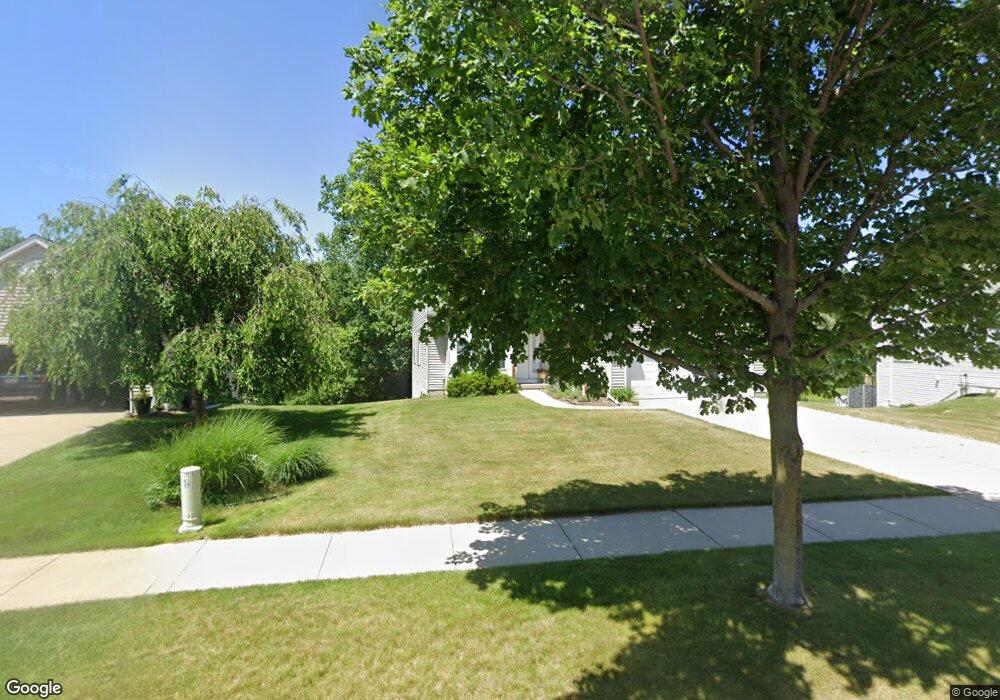
1543 Northbend Dr NE Grand Rapids, MI 49505
Creston NeighborhoodEstimated Value: $349,083 - $408,000
2
Beds
2
Baths
1,225
Sq Ft
$310/Sq Ft
Est. Value
About This Home
This home is located at 1543 Northbend Dr NE, Grand Rapids, MI 49505 and is currently estimated at $379,521, approximately $309 per square foot. 1543 Northbend Dr NE is a home located in Kent County with nearby schools including Riverside Middle School, Union High School, and Lighthouse Academy - Waalkes Campus.
Ownership History
Date
Name
Owned For
Owner Type
Purchase Details
Closed on
Jun 2, 2004
Sold by
Holwerda Builders Llc
Bought by
Griswold William M and Griswold Susan F
Current Estimated Value
Home Financials for this Owner
Home Financials are based on the most recent Mortgage that was taken out on this home.
Original Mortgage
$65,000
Outstanding Balance
$32,750
Interest Rate
6.46%
Mortgage Type
Purchase Money Mortgage
Estimated Equity
$346,771
Purchase Details
Closed on
May 10, 2004
Sold by
Progressive Developers Inc
Bought by
G & C Land Co Llc
Home Financials for this Owner
Home Financials are based on the most recent Mortgage that was taken out on this home.
Original Mortgage
$65,000
Outstanding Balance
$32,750
Interest Rate
6.46%
Mortgage Type
Purchase Money Mortgage
Estimated Equity
$346,771
Create a Home Valuation Report for This Property
The Home Valuation Report is an in-depth analysis detailing your home's value as well as a comparison with similar homes in the area
Home Values in the Area
Average Home Value in this Area
Purchase History
| Date | Buyer | Sale Price | Title Company |
|---|---|---|---|
| Griswold William M | $166,425 | Beltline Title Agency Inc | |
| Holwerda Builders Llc | $45,000 | Beltline Title Agency Inc | |
| G & C Land Co Llc | $336,376 | -- |
Source: Public Records
Mortgage History
| Date | Status | Borrower | Loan Amount |
|---|---|---|---|
| Open | Griswold William M | $65,000 |
Source: Public Records
Tax History Compared to Growth
Tax History
| Year | Tax Paid | Tax Assessment Tax Assessment Total Assessment is a certain percentage of the fair market value that is determined by local assessors to be the total taxable value of land and additions on the property. | Land | Improvement |
|---|---|---|---|---|
| 2025 | $2,587 | $170,000 | $0 | $0 |
| 2024 | $2,587 | $149,300 | $0 | $0 |
| 2023 | $2,478 | $125,100 | $0 | $0 |
| 2022 | $2,492 | $119,700 | $0 | $0 |
| 2021 | $142 | $108,900 | $0 | $0 |
| 2020 | $2,329 | $100,700 | $0 | $0 |
| 2019 | $2,440 | $94,000 | $0 | $0 |
| 2018 | $2,356 | $91,800 | $0 | $0 |
| 2017 | $2,294 | $81,500 | $0 | $0 |
| 2016 | $2,321 | $75,500 | $0 | $0 |
| 2015 | $2,159 | $75,500 | $0 | $0 |
| 2013 | -- | $63,500 | $0 | $0 |
Source: Public Records
Map
Nearby Homes
- 1335 Northlawn St NE
- 1759 Briarcliff Dr NE
- 2100 Dawson Ave NE
- 2027 Joan Ave NE
- 1335 Knapp St NE
- 1050 3 Mile Rd NE
- 2037 Tall Meadow St NE Unit 13
- 2833 Aldale Dr NE
- 2058 Ken Ade St NE Unit 147
- 2016 Tall Meadow St NE
- 2112 Jo Dean Ct NE
- 921 Eleanor St NE
- 2700 Plainfield Ave NE
- 2753 Dean Lake Ave NE
- 2041 Krislin St
- 861 Aberdeen St NE
- 1739 Waldorn Ave NE
- 3030 Plainfield Ave NE
- 1824 Herrick Ave NE
- 1119 Kentwood Dr NE
- 1539 Northbend Dr NE
- 1549 Northbend Dr NE
- 1555 Northbend Dr NE
- 1531 Aberdeen St NE
- 1529 Aberdeen St NE
- 1548 Northbend Dr NE
- 1540 Northbend Dr NE
- 1525 Aberdeen St NE
- 1556 Northbend Dr NE
- 1565 Aberdeen St NE
- 1561 Northbend Dr NE
- 1501 Aberdeen St NE
- 1562 Northbend Dr NE
- 1571 Aberdeen St NE
- 1574 Northbend Dr NE
- 1579 Aberdeen St NE
- 2485 Lawncrest Dr NE
- 2503 Lawncrest Dr NE
- 1582 Northbend Dr NE
- 1452 Lawncrest Ct NE