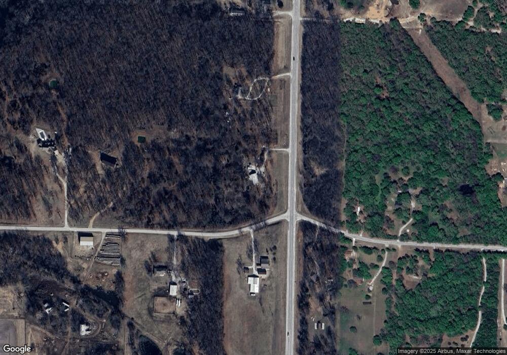
15431 State Highway 43 Unit 1 Oronogo, MO 64855
Estimated Value: $167,000 - $224,000
4
Beds
1
Bath
1,750
Sq Ft
$112/Sq Ft
Est. Value
About This Home
This home is located at 15431 State Highway 43 Unit 1, Oronogo, MO 64855 and is currently estimated at $196,554, approximately $112 per square foot. 15431 State Highway 43 Unit 1 is a home located in Jasper County with nearby schools including Carl Junction Primary School (K-1), Carl Junction Intermediate School, and Carl Junction Primary School (2-3).
Ownership History
Date
Name
Owned For
Owner Type
Purchase Details
Closed on
Jan 6, 2020
Sold by
Garvin Gary M and Garvin Karen S
Bought by
Albright Cissy
Current Estimated Value
Purchase Details
Closed on
Dec 7, 2012
Sold by
Poteet Lonnie
Bought by
Garvin Gary M and Garvin Karen S
Purchase Details
Closed on
Nov 14, 2008
Sold by
Severy Baker Ginger C and Baker Donald L
Bought by
Poteet Lonnie and Restated Evelyn N Poteet Revocable Trust
Create a Home Valuation Report for This Property
The Home Valuation Report is an in-depth analysis detailing your home's value as well as a comparison with similar homes in the area
Home Values in the Area
Average Home Value in this Area
Purchase History
| Date | Buyer | Sale Price | Title Company |
|---|---|---|---|
| Albright Cissy | -- | None Available | |
| Garvin Gary M | -- | None Available | |
| Poteet Lonnie | -- | Abbey |
Source: Public Records
Tax History Compared to Growth
Tax History
| Year | Tax Paid | Tax Assessment Tax Assessment Total Assessment is a certain percentage of the fair market value that is determined by local assessors to be the total taxable value of land and additions on the property. | Land | Improvement |
|---|---|---|---|---|
| 2025 | $955 | $19,650 | $4,510 | $15,140 |
| 2024 | $955 | $17,790 | $4,510 | $13,280 |
| 2023 | $955 | $17,790 | $4,510 | $13,280 |
| 2022 | $946 | $17,530 | $4,510 | $13,020 |
| 2021 | $889 | $17,530 | $4,510 | $13,020 |
| 2020 | $858 | $16,620 | $4,510 | $12,110 |
| 2019 | $849 | $16,430 | $4,510 | $11,920 |
| 2018 | $755 | $14,630 | $0 | $0 |
| 2017 | $711 | $14,630 | $0 | $0 |
| 2016 | $702 | $14,560 | $0 | $0 |
| 2015 | $702 | $14,560 | $0 | $0 |
| 2014 | $702 | $14,560 | $0 | $0 |
Source: Public Records
Map
Nearby Homes
- 13030 County Lane 228
- 125 W 2nd St
- 26785 Neutral Ln
- 209 Earl St
- 209 N Earl St
- 13106 County Lane 268
- 13786 County Road 270
- 210 E 6th St
- 10970 County Road 240
- 27253 Locust Rd
- 000 246 Rd
- 301 W High St
- 000 Cr 290
- 203 W High St
- 000 290 Cr
- 106 S Fox St
- 112 Orchard St
- 16435 County Road 290
- 1106 Pawpaw Place
- 9742 County Road 260
- 15431 State Highway 43
- 24078 Pecan Rd
- 15337 State Highway 43 Unit 1
- 15337 State Highway 43
- 15265 State Highway 43
- 23689 Pecan Rd
- 24066 Pecan Rd Unit 1
- 23904 Pecan Rd
- 23855 Pecan Rd
- 23866 Pecan Rd
- 23813 Pecan Rd
- 15399 State Highway 43
- 15430 State Highway 43
- 15430 State Highway 43 Unit 1
- 15446 State Highway 43 Unit 1
- 15446 State Highway 43
- 23782 Pecan Rd
- 23641 Pecan Rd
- 23641 Pecan Rd Unit 1
- 23915 Oreo Ln
