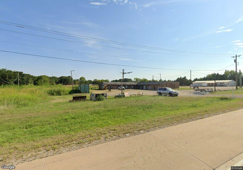
15437 Us Highway 70 Lone Grove, OK 73443
Estimated Value: $328,344 - $390,000
--
Bed
1
Bath
2,000
Sq Ft
$180/Sq Ft
Est. Value
About This Home
This home is located at 15437 Us Highway 70, Lone Grove, OK 73443 and is currently estimated at $359,172, approximately $179 per square foot. 15437 Us Highway 70 is a home located in Carter County with nearby schools including Lone Grove Primary School, Lone Grove Intermediate School, and Lone Grove Middle School.
Ownership History
Date
Name
Owned For
Owner Type
Purchase Details
Closed on
Feb 13, 2022
Sold by
Lewis Irvin David and Lewis Susie
Bought by
Fincher Nathan Micheal and Fincher Sarah Renea
Current Estimated Value
Home Financials for this Owner
Home Financials are based on the most recent Mortgage that was taken out on this home.
Original Mortgage
$215,619
Interest Rate
2.93%
Mortgage Type
New Conventional
Purchase Details
Closed on
May 17, 2021
Sold by
Fincher Nathan Michael and Fincher Sarah Renea
Bought by
Big Sky Land Llc
Home Financials for this Owner
Home Financials are based on the most recent Mortgage that was taken out on this home.
Original Mortgage
$406,343
Interest Rate
3.1%
Mortgage Type
Future Advance Clause Open End Mortgage
Purchase Details
Closed on
Nov 12, 2018
Sold by
Chaney Leo V
Bought by
Irvin David Lewis
Create a Home Valuation Report for This Property
The Home Valuation Report is an in-depth analysis detailing your home's value as well as a comparison with similar homes in the area
Home Values in the Area
Average Home Value in this Area
Purchase History
| Date | Buyer | Sale Price | Title Company |
|---|---|---|---|
| Fincher Nathan Micheal | $290,000 | Stewart Title | |
| Big Sky Land Llc | $534,000 | Arbuckle Closing & Escrow | |
| Irvin David Lewis | $225,000 | None Available |
Source: Public Records
Mortgage History
| Date | Status | Borrower | Loan Amount |
|---|---|---|---|
| Previous Owner | Fincher Nathan Micheal | $215,619 | |
| Previous Owner | Big Sky Land Llc | $406,343 |
Source: Public Records
Tax History Compared to Growth
Tax History
| Year | Tax Paid | Tax Assessment Tax Assessment Total Assessment is a certain percentage of the fair market value that is determined by local assessors to be the total taxable value of land and additions on the property. | Land | Improvement |
|---|---|---|---|---|
| 2025 | $3,532 | $23,635 | $16,799 | $6,836 |
| 2024 | $3,532 | $33,659 | $16,799 | $16,860 |
| 2023 | $3,652 | $34,800 | $16,799 | $18,001 |
| 2022 | $2,834 | $27,386 | $16,799 | $10,587 |
| 2021 | $2,738 | $26,296 | $13,110 | $13,186 |
| 2020 | $2,722 | $26,296 | $13,110 | $13,186 |
| 2019 | $2,791 | $27,000 | $13,110 | $13,890 |
| 2018 | $1,231 | $11,787 | $4,861 | $6,926 |
| 2017 | $1,167 | $11,226 | $4,861 | $6,365 |
| 2016 | $1,108 | $10,691 | $4,861 | $5,830 |
| 2015 | $1,236 | $10,741 | $1,785 | $8,956 |
| 2014 | $1,324 | $11,509 | $1,785 | $9,724 |
Source: Public Records
Map
Nearby Homes
- 270 Hickory St
- 40 Whipperwill St
- 0 Durango St
- 940 Durango St
- 58 Wisteria St
- 0 Kelly Ln
- 86 Wisteria St
- 0 High Chaparal Dr Unit 2525272
- 114 Laurel St
- 213 Laurel St
- 7241 Myall Rd
- 318 Wisteria St
- 8841 Brock Rd
- 7023 Myall Rd SW
- 656 Evergreen St
- 0 Evergreen St
- 6892 Meridian Rd
- 1320 Evergreen St
- 01 N Brock Rd
- 21 Park St
- 0 Van Horn St
- 15427 Us Highway 70
- 15465 Us Highway 70
- 42 Van Horn
- 185 Apache St NW
- 172 Apache St NW
- 17 Van Horn
- 145 Apache St NW
- 125 Apache St NW
- 8 Van Horn
- 312 Barbara St
- 336 Walnut Hill St
- 15428 Us Highway 70
- 293 Walnut Hill St
- 324 Walnut Hill St
- 15342 Us Highway 70
- 15438 Us Highway 70
- 254 Barbara St
- 229 Chaparral St Unit HIGH