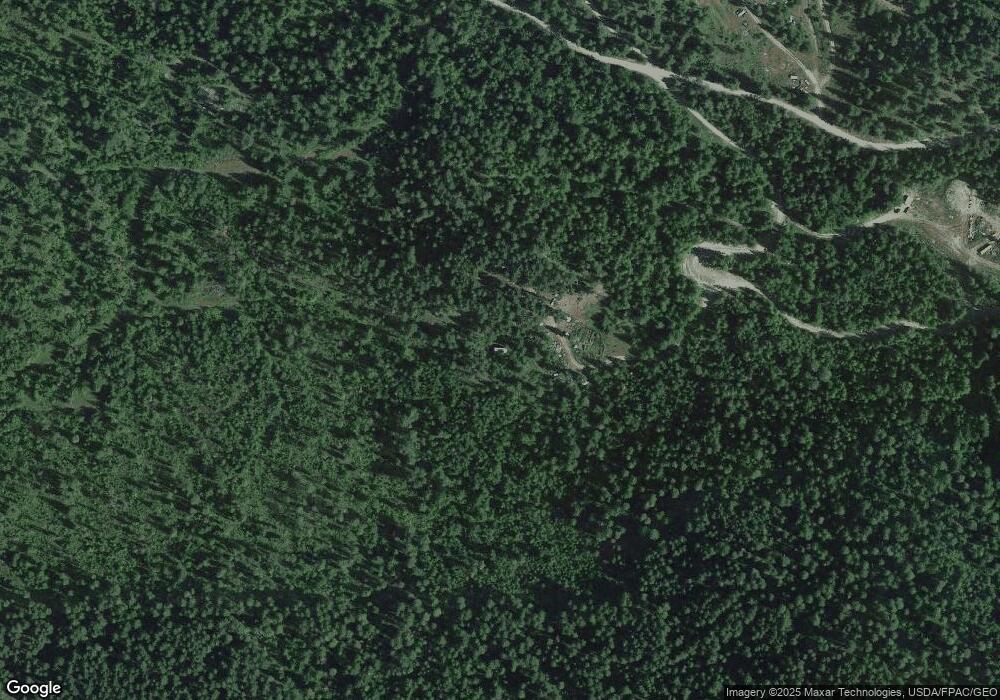
1544 Comstock Mine Rd Colville, WA 99114
Estimated Value: $119,746 - $276,000
--
Bed
--
Bath
480
Sq Ft
$365/Sq Ft
Est. Value
About This Home
This home is located at 1544 Comstock Mine Rd, Colville, WA 99114 and is currently estimated at $175,249, approximately $365 per square foot. 1544 Comstock Mine Rd is a home located in Stevens County with nearby schools including Hofstetter Elementary School, Fort Colville Elementary School, and Colville Junior High School.
Ownership History
Date
Name
Owned For
Owner Type
Purchase Details
Closed on
Jul 28, 2017
Sold by
Morgan Lew C
Bought by
Ambler Jonathon R and Forrest Anita A
Current Estimated Value
Purchase Details
Closed on
Jul 11, 2016
Sold by
Morgan Lew C
Bought by
Williams Joshua Todd
Purchase Details
Closed on
Mar 25, 2013
Sold by
Morgan Lew C and Morgan Jerri R
Bought by
Morgan Lew C
Purchase Details
Closed on
Feb 24, 2013
Sold by
Hall Desiree I and Markle Desiree I
Bought by
Morgan Lew C and Morgan Jerri R
Create a Home Valuation Report for This Property
The Home Valuation Report is an in-depth analysis detailing your home's value as well as a comparison with similar homes in the area
Home Values in the Area
Average Home Value in this Area
Purchase History
| Date | Buyer | Sale Price | Title Company |
|---|---|---|---|
| Ambler Jonathon R | $40,000 | Stevens County Title Company | |
| Williams Joshua Todd | $39,900 | Stevens County Title Company | |
| Morgan Lew C | -- | None Available | |
| Morgan Lew C | $40,000 | None Available |
Source: Public Records
Tax History Compared to Growth
Tax History
| Year | Tax Paid | Tax Assessment Tax Assessment Total Assessment is a certain percentage of the fair market value that is determined by local assessors to be the total taxable value of land and additions on the property. | Land | Improvement |
|---|---|---|---|---|
| 2024 | $131 | $16,316 | $2,579 | $13,737 |
| 2023 | $133 | $50,193 | $36,000 | $14,193 |
| 2022 | $101 | $44,290 | $36,000 | $8,290 |
| 2021 | $0 | $2,541 | $2,541 | $0 |
| 2020 | $38 | $2,541 | $2,541 | $0 |
| 2019 | $38 | $2,222 | $2,222 | $0 |
| 2018 | $41 | $2,203 | $2,203 | $0 |
| 2017 | $39 | $2,203 | $2,203 | $0 |
| 2016 | $39 | $2,184 | $2,184 | $0 |
| 2015 | $29 | $2,146 | $2,146 | $0 |
| 2013 | -- | $1,327 | $1,327 | $0 |
Source: Public Records
Map
Nearby Homes
- 1555 Comstock Mine Rd
- 1334 Clugston-Onion Creek Rd
- LOT 1 Randall Rd
- 1188 Randall Rd
- 22XX Hawks Rd
- 1170 Hodgson Rd N
- 11XX Williams Lake Rd
- 820 Echo Stub Rd
- 775 Adam Sherry Rd
- 1427 Chapin Rd N
- 1622 T Clugston-Onion Crk Rd
- 1870 Brooks Rd N
- 1874 Brooks Rd N
- 717 Dry Gulch Rd
- xxxx Cedar Creek Rd
- TBD Bossburg Rd
- 1474B Evans Cutoff Rd
