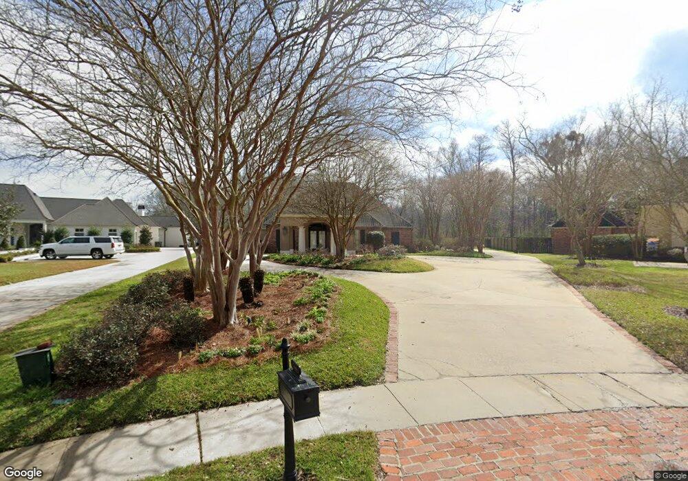
15441 Campanile Ct Baton Rouge, LA 70810
Estimated Value: $562,000 - $743,000
--
Bed
--
Bath
3,090
Sq Ft
$221/Sq Ft
Est. Value
About This Home
This home is located at 15441 Campanile Ct, Baton Rouge, LA 70810 and is currently estimated at $684,131, approximately $221 per square foot. 15441 Campanile Ct is a home located in East Baton Rouge Parish with nearby schools including Magnolia Woods Elementary School, Westdale Middle School, and Tara High School.
Ownership History
Date
Name
Owned For
Owner Type
Purchase Details
Closed on
Mar 20, 2017
Sold by
Krieg Steven Leslie and Krieg Cheryl Ann
Bought by
The Steven Krieg And Cheryl Krieg Living
Current Estimated Value
Purchase Details
Closed on
Feb 6, 2014
Sold by
Shaffer Emerson S
Bought by
Krieg Steven L
Purchase Details
Closed on
Jun 30, 2000
Sold by
S L Shaw & Associates Inc
Bought by
Zimmerman Shaffer Jr Emerson S and Zimmerman Shaffer Dawn
Home Financials for this Owner
Home Financials are based on the most recent Mortgage that was taken out on this home.
Original Mortgage
$1,000,000
Interest Rate
8.66%
Mortgage Type
Purchase Money Mortgage
Create a Home Valuation Report for This Property
The Home Valuation Report is an in-depth analysis detailing your home's value as well as a comparison with similar homes in the area
Home Values in the Area
Average Home Value in this Area
Purchase History
| Date | Buyer | Sale Price | Title Company |
|---|---|---|---|
| The Steven Krieg And Cheryl Krieg Living | -- | None Available | |
| Krieg Steven L | $539,500 | -- | |
| Zimmerman Shaffer Jr Emerson S | $81,500 | -- |
Source: Public Records
Mortgage History
| Date | Status | Borrower | Loan Amount |
|---|---|---|---|
| Previous Owner | Zimmerman Shaffer Jr Emerson S | $1,000,000 |
Source: Public Records
Tax History Compared to Growth
Tax History
| Year | Tax Paid | Tax Assessment Tax Assessment Total Assessment is a certain percentage of the fair market value that is determined by local assessors to be the total taxable value of land and additions on the property. | Land | Improvement |
|---|---|---|---|---|
| 2024 | $6,811 | $64,890 | $8,150 | $56,740 |
| 2023 | $6,811 | $55,620 | $8,150 | $47,470 |
| 2022 | $6,468 | $55,620 | $8,150 | $47,470 |
| 2021 | $6,346 | $55,620 | $8,150 | $47,470 |
| 2020 | $6,284 | $55,620 | $8,150 | $47,470 |
| 2019 | $6,036 | $51,250 | $8,150 | $43,100 |
| 2018 | $5,958 | $51,250 | $8,150 | $43,100 |
| 2017 | $5,958 | $51,250 | $8,150 | $43,100 |
| 2016 | $4,961 | $51,250 | $8,150 | $43,100 |
| 2015 | $4,955 | $51,250 | $8,150 | $43,100 |
| 2014 | $4,820 | $51,250 | $8,150 | $43,100 |
| 2013 | -- | $46,800 | $8,150 | $38,650 |
Source: Public Records
Map
Nearby Homes
- 15505 Espirit Dr
- 15307 Campanile Ct
- 3005 Rue D Orleans
- 3129 Veranda Green Ave
- 3108 Veranda Lakes Dr
- 3137 Rue D Orleans
- 3135 Veranda Lakes Dr
- 135 Tiger Dr
- 3139 Tradition Ave
- 3546 Rue D Orleans
- 15248 Cadet Ct
- 255 S Club Ave
- 3018 Tradition Ave
- 2537 Tiger Crossing Dr
- 365 S Club Ave
- 415 Clock Tower Dr
- 410 Clock Tower Dr
- 14240 Wally Way
- 2114 Thomas Boyd Dr
- 855 Bayou Paul Ln
- 15441 Campanile Ct
- 15431 Campanile Ct
- 15451 Campanile Ct
- 15461 Campanile Ct
- 15421 Campanile Ct
- 15411 Campanile Ct
- 15471 Campanile Ct
- 15412 Campanile Ct
- 15422 Campanile Ct
- 15432 Campanile Ct
- 15442 Campanile Ct
- 15474 Manchac View Ct
- 15402 Campanile Ct
- 15337 Campanile Ct
- 15435 Manchac View Ct
- 15425 Manchac View Ct
- 15464 Manchac View Ct
- 15328 Campanile Ct
- 15454 Manchac View Ct
- 15424 Manchac View Ct