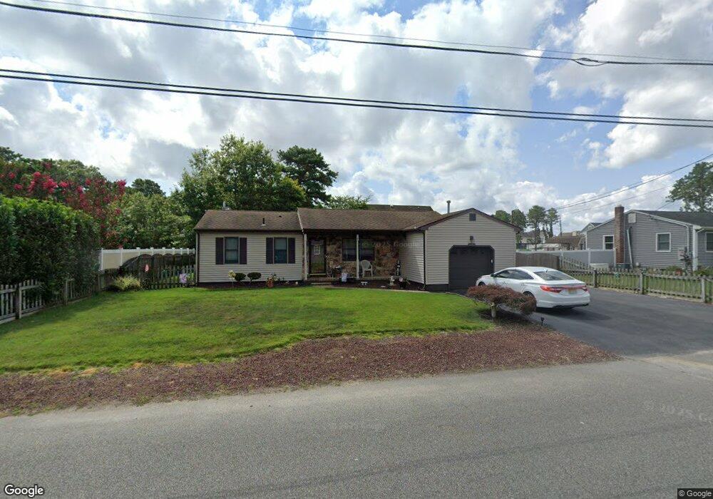
1545 Dee Rd Forked River, NJ 08731
Estimated Value: $388,000 - $425,000
2
Beds
2
Baths
1,251
Sq Ft
$323/Sq Ft
Est. Value
About This Home
This home is located at 1545 Dee Rd, Forked River, NJ 08731 and is currently estimated at $404,305, approximately $323 per square foot. 1545 Dee Rd is a home located in Ocean County with nearby schools including Lacey Township High School.
Ownership History
Date
Name
Owned For
Owner Type
Purchase Details
Closed on
Aug 5, 2004
Sold by
Hamlett Rosanne
Bought by
Hunkele Paul E and Hunkele Patricia A
Current Estimated Value
Home Financials for this Owner
Home Financials are based on the most recent Mortgage that was taken out on this home.
Original Mortgage
$125,000
Outstanding Balance
$62,753
Interest Rate
6.08%
Mortgage Type
Credit Line Revolving
Estimated Equity
$341,552
Create a Home Valuation Report for This Property
The Home Valuation Report is an in-depth analysis detailing your home's value as well as a comparison with similar homes in the area
Home Values in the Area
Average Home Value in this Area
Purchase History
| Date | Buyer | Sale Price | Title Company |
|---|---|---|---|
| Hunkele Paul E | $206,000 | Chicago Title Insurance Co |
Source: Public Records
Mortgage History
| Date | Status | Borrower | Loan Amount |
|---|---|---|---|
| Open | Hunkele Paul E | $125,000 | |
| Closed | Hunkele Paul E | $55,000 |
Source: Public Records
Tax History
| Year | Tax Paid | Tax Assessment Tax Assessment Total Assessment is a certain percentage of the fair market value that is determined by local assessors to be the total taxable value of land and additions on the property. | Land | Improvement |
|---|---|---|---|---|
| 2025 | $4,979 | $196,500 | $81,000 | $115,500 |
| 2024 | $4,405 | $196,500 | $81,000 | $115,500 |
Source: Public Records
Map
Nearby Homes
- 0000 Earie Way
- 1440 Leguene Ave
- 1660 Joffre Rd
- 1326 Leguene Ave
- 1988 Brookdale Dr
- 4 Kent Ct
- 38 Sheffield Dr
- 0 Lakeside Dr S Unit 22601319
- 1223 Sylvania Place
- 1216 Taylor Ln
- 321 Letts Ave
- 1303 Cypress St
- 576 Vaughn Ave
- 1972 Glen Oak Dr
- 000 Elwood St
- 304 Shepard Ave
- 00 Lacey Rd
- 105 Shodda St
- 102 Maria Loretta Ln
- 882 Harrison Ave
- 1541 Dee Rd
- 1546 Dee Rd
- 29 Dee Rd
- 1542 Dee Rd
- 1450 Earie Way
- 1551 Dee Rd
- 1538 Dee Rd
- 1550 Dee Rd
- 1482 Earie Way
- 1484 Earie Way
- 0 Earie Way Unit 22226659
- 0 Earie Way Unit 21813670
- 0 Earie Way Unit 21640735
- 0 Earie Way Unit 21405715
- 1B Earie Way
- 1A Earie Way
- 0 Earie Way
- 1537 Dee Rd
- 1501 Sommerell Ave
- 1479 Earie Way
Your Personal Tour Guide
Ask me questions while you tour the home.