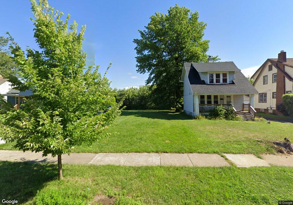
1545 E 196th St Euclid, OH 44117
Estimated Value: $174,914
5
Beds
2
Baths
1,631
Sq Ft
$107/Sq Ft
Est. Value
About This Home
This home is located at 1545 E 196th St, Euclid, OH 44117 and is currently estimated at $174,914, approximately $107 per square foot. 1545 E 196th St is a home located in Cuyahoga County with nearby schools including Bluestone Elementary School, Euclid Middle School, and Euclid High School.
Ownership History
Date
Name
Owned For
Owner Type
Purchase Details
Closed on
Jun 11, 2009
Sold by
Secretary Of Housing & Urban Development
Bought by
City Of Euclid
Current Estimated Value
Purchase Details
Closed on
Jun 15, 2006
Sold by
Reid Pauline D
Bought by
Hud
Purchase Details
Closed on
Sep 30, 2002
Sold by
Long Valerie J
Bought by
Reid Pauline D
Home Financials for this Owner
Home Financials are based on the most recent Mortgage that was taken out on this home.
Original Mortgage
$90,578
Interest Rate
6.39%
Mortgage Type
Purchase Money Mortgage
Purchase Details
Closed on
Sep 5, 2001
Sold by
Estate Of Robert C Long Ii
Bought by
Long Valerie J
Purchase Details
Closed on
Nov 10, 1980
Sold by
Marous Otto
Bought by
Long Robert C
Purchase Details
Closed on
Jan 1, 1975
Bought by
Marous Otto
Create a Home Valuation Report for This Property
The Home Valuation Report is an in-depth analysis detailing your home's value as well as a comparison with similar homes in the area
Home Values in the Area
Average Home Value in this Area
Purchase History
| Date | Buyer | Sale Price | Title Company |
|---|---|---|---|
| City Of Euclid | -- | Lakeside Title & Escrow Agen | |
| Hud | $50,000 | Attorney | |
| Reid Pauline D | $92,000 | Midland Title Security Inc | |
| Long Valerie J | -- | -- | |
| Long Robert C | $32,000 | -- | |
| Marous Otto | -- | -- |
Source: Public Records
Mortgage History
| Date | Status | Borrower | Loan Amount |
|---|---|---|---|
| Previous Owner | Reid Pauline D | $90,578 |
Source: Public Records
Tax History Compared to Growth
Tax History
| Year | Tax Paid | Tax Assessment Tax Assessment Total Assessment is a certain percentage of the fair market value that is determined by local assessors to be the total taxable value of land and additions on the property. | Land | Improvement |
|---|---|---|---|---|
| 2024 | -- | $700 | $700 | -- |
| 2022 | $0 | $3,675 | $3,675 | $0 |
| 2021 | $0 | $3,680 | $3,680 | $0 |
| 2020 | $0 | $3,680 | $3,680 | $0 |
| 2019 | $0 | $0 | $0 | $0 |
| 2018 | $0 | $3,680 | $3,680 | $0 |
| 2017 | $0 | $0 | $0 | $0 |
| 2016 | $0 | $0 | $0 | $0 |
| 2015 | -- | $0 | $0 | $0 |
| 2014 | -- | $0 | $0 | $0 |
Source: Public Records
Map
Nearby Homes
- 1477 E 195th St
- 19201 Genesee Rd
- 19201 Shawnee Rd
- 1721 Grand Blvd
- 19871 Upper Valley Dr
- 1563 Clermont Rd
- 1524 E 204th St
- 1517 Larchmont Rd
- 1777 Catalpa Rd
- 1707 Catalpa Rd
- 1860 Glenridge Rd
- 1617 Catalpa Rd
- 1362 E 187th St
- 1651 Avalon Rd
- 1538 E 173rd St
- 18120 Olympia Rd
- 1477 E 174th St
- 1550 E 172nd St
- 2150 Glenridge Rd
- 1677 Cliffview Rd
- 1549 E 196th St
- 1555 E 196th St
- 1535 E 196th St
- 1559 E 196th St
- 1531 E 196th St
- 1561 E 196th St
- 1527 E 196th St
- 1546 E 196th St
- 1523 E 196th St
- 1550 E 196th St
- 1563 E 196th St
- 1540 E 196th St
- 1534 E 196th St
- 1552 E 196th St
- 1560 E 196th St
- 1530 E 196th St
- 1571 E 196th St
- 1521 E 196th St
- 1562 E 196th St
- 1526 E 196th St