Estimated Value: $511,126 - $537,000
Studio
--
Bath
1,605
Sq Ft
$326/Sq Ft
Est. Value
About This Home
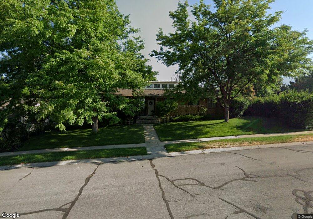
This home is located at 1545 E 2000 N, Logan, UT 84341 and is currently estimated at $523,532, approximately $326 per square foot. 1545 E 2000 N is a home with nearby schools including Greenville School, Cedar Ridge School, and North Cache Middle School.
Ownership History
Date
Name
Owned For
Owner Type
Purchase Details
Closed on
Oct 24, 2016
Sold by
Eccles Rhonda
Bought by
Eccles Rhonda and Eccles Jon
Current Estimated Value
Home Financials for this Owner
Home Financials are based on the most recent Mortgage that was taken out on this home.
Original Mortgage
$171,085
Outstanding Balance
$135,860
Interest Rate
3.25%
Mortgage Type
FHA
Estimated Equity
$387,672
Purchase Details
Closed on
Oct 8, 2014
Sold by
Curtis Don R and Curtis Marilyn M
Bought by
Eccles Rhonda
Home Financials for this Owner
Home Financials are based on the most recent Mortgage that was taken out on this home.
Original Mortgage
$172,975
Interest Rate
3.75%
Mortgage Type
FHA
Create a Home Valuation Report for This Property
The Home Valuation Report is an in-depth analysis detailing your home's value as well as a comparison with similar homes in the area
Home Values in the Area
Average Home Value in this Area
Purchase History
| Date | Buyer | Sale Price | Title Company |
|---|---|---|---|
| Eccles Rhonda | -- | Advantage Title Llc | |
| Eccles Rhonda | -- | American Secure Title |
Source: Public Records
Mortgage History
| Date | Status | Borrower | Loan Amount |
|---|---|---|---|
| Open | Eccles Rhonda | $171,085 | |
| Previous Owner | Eccles Rhonda | $172,975 |
Source: Public Records
Tax History
| Year | Tax Paid | Tax Assessment Tax Assessment Total Assessment is a certain percentage of the fair market value that is determined by local assessors to be the total taxable value of land and additions on the property. | Land | Improvement |
|---|---|---|---|---|
| 2025 | $1,896 | $265,335 | $0 | $0 |
| 2024 | $2,289 | $298,115 | $0 | $0 |
| 2023 | $2,328 | $283,735 | $0 | $0 |
| 2022 | $2,182 | $254,120 | $0 | $0 |
| 2021 | $206 | $371,560 | $70,000 | $301,560 |
| 2020 | $1,897 | $321,300 | $70,000 | $251,300 |
| 2019 | $1,706 | $275,905 | $70,000 | $205,905 |
| 2018 | $1,559 | $244,496 | $70,000 | $174,496 |
| 2017 | $1,405 | $115,940 | $0 | $0 |
| 2016 | $1,427 | $115,940 | $0 | $0 |
| 2015 | $1,432 | $115,940 | $0 | $0 |
| 2014 | $1,372 | $113,790 | $0 | $0 |
| 2013 | -- | $113,790 | $0 | $0 |
Source: Public Records
Map
Nearby Homes
- 2025 N 1550 E
- 1495 E 2300 N
- 1720 N 1850 E
- 1100 E 1900 N Unit 10
- 1872 N 515 W
- 1901 Southpointe Ct
- 1593 N 110 W Unit 201
- 611 E 2450 N Unit 1
- 1593 N 110 W Unit 202
- 1593 N 110 W Unit 204
- 1200 W 1400 N
- 2950 N Mahogony Valley Rd E Unit 7
- 1598 N Sharptail Cir
- 1000 W 2500 N
- 1949 Deer Crest Cir Unit 49
- 1586 N Sharptail Cir
- 1959 Deer Crest Cir
- 1810 N 2070 E Unit 10
- 1450 N 1525 E
- 1440 N 1600 E
Your Personal Tour Guide
Ask me questions while you tour the home.