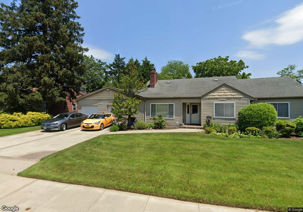
1545 Forest Ave North Baldwin, NY 11510
Estimated Value: $744,705 - $756,000
Studio
3
Baths
2,047
Sq Ft
$367/Sq Ft
Est. Value
About This Home
This home is located at 1545 Forest Ave, North Baldwin, NY 11510 and is currently estimated at $750,353, approximately $366 per square foot. 1545 Forest Ave is a home located in Nassau County with nearby schools including Baldwin Senior High School.
Ownership History
Date
Name
Owned For
Owner Type
Purchase Details
Closed on
Oct 8, 2002
Sold by
Hay Angela
Current Estimated Value
Purchase Details
Closed on
Nov 25, 1998
Sold by
Agrafiotis Peter J
Bought by
Hay Angela Marie
Purchase Details
Closed on
Aug 3, 1996
Sold by
Agrafiotis Peter
Bought by
Agrafiotis Peter and Agrafiotis Ellen
Home Financials for this Owner
Home Financials are based on the most recent Mortgage that was taken out on this home.
Original Mortgage
$27,600
Interest Rate
8.08%
Mortgage Type
Purchase Money Mortgage
Create a Home Valuation Report for This Property
The Home Valuation Report is an in-depth analysis detailing your home's value as well as a comparison with similar homes in the area
Home Values in the Area
Average Home Value in this Area
Purchase History
| Date | Buyer | Sale Price | Title Company |
|---|---|---|---|
| -- | -- | -- | |
| -- | -- | -- | |
| Hay Angela Marie | $170,000 | -- | |
| Hay Angela Marie | $170,000 | -- | |
| Agrafiotis Peter | -- | -- | |
| Agrafiotis Peter | -- | -- |
Source: Public Records
Mortgage History
| Date | Status | Borrower | Loan Amount |
|---|---|---|---|
| Previous Owner | Agrafiotis Peter | $27,600 |
Source: Public Records
Tax History
| Year | Tax Paid | Tax Assessment Tax Assessment Total Assessment is a certain percentage of the fair market value that is determined by local assessors to be the total taxable value of land and additions on the property. | Land | Improvement |
|---|---|---|---|---|
| 2025 | $15,821 | $513 | $254 | $259 |
| 2024 | $3,941 | $520 | $257 | $263 |
Source: Public Records
Map
Nearby Homes
- 156 Brookside Ave
- 315 Maryland Ave
- 980 Wallace Ave
- 1459 Prince St
- 938 Wallace Ave
- 1009 Centennial Ave
- 915 Wallace Ave
- 1426 Forest Ave
- 62 Alhambra Rd
- 31 Cedar St
- 200 Evans Ave
- 810 Wallace Ave
- 1 Willowbrook Ln
- 20 Sterling Place
- 154 California Ave
- 1070 Cramer Ct
- 1154 Cramer Ct
- 1850 Voshage St
- 107 California Ave
- 1600 Grand Ave Unit V1
- 1535 Forest Ave
- 1565 Forest Ave
- 1544 Forest Ave
- 1525 Forest Ave
- 1536 Forest Ave
- 1562 Forest Ave
- 1562 Forest Ave
- 147 Brookside Ave
- 6 W Forest Ave
- 1015 Barth Dr
- 189 Brookside Ave
- 1522 Forest Ave
- 1012 Barth Dr
- 1015 Kings Pkwy
- 191 Brookside Ave
- 1009 Barth Dr
- 151 Brookside Ave
- 1010 Lillian Place
- 1570 Forest Ave
- 193 Brookside Ave
Your Personal Tour Guide
Ask me questions while you tour the home.