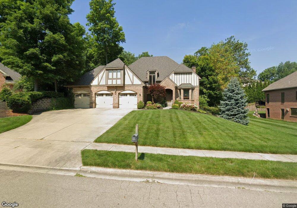
1545 Furman Dr Vandalia, OH 45377
Estimated Value: $471,000 - $570,000
4
Beds
4
Baths
2,578
Sq Ft
$198/Sq Ft
Est. Value
About This Home
This home is located at 1545 Furman Dr, Vandalia, OH 45377 and is currently estimated at $509,408, approximately $197 per square foot. 1545 Furman Dr is a home located in Montgomery County with nearby schools including Demmitt Elementary School, Smith Middle School, and Butler High School.
Ownership History
Date
Name
Owned For
Owner Type
Purchase Details
Closed on
May 4, 2011
Sold by
Pasha Jaseem and Pasha Nooranissa J
Bought by
Pollin Rusty
Current Estimated Value
Home Financials for this Owner
Home Financials are based on the most recent Mortgage that was taken out on this home.
Original Mortgage
$263,155
Outstanding Balance
$188,007
Interest Rate
5.5%
Mortgage Type
FHA
Estimated Equity
$321,401
Purchase Details
Closed on
Jul 12, 2004
Sold by
Pasha Jaseem and Pasha Nooranissa J
Bought by
Pasha Dr Jaseem and Pasha Dr Nooranissa J
Purchase Details
Closed on
Oct 28, 1994
Sold by
Spornhauer Jan T and Spornhauer Iris A
Bought by
Pasha Jaseem and Pasha Nooranissa
Create a Home Valuation Report for This Property
The Home Valuation Report is an in-depth analysis detailing your home's value as well as a comparison with similar homes in the area
Home Values in the Area
Average Home Value in this Area
Purchase History
| Date | Buyer | Sale Price | Title Company |
|---|---|---|---|
| Pollin Rusty | $270,000 | Attorney | |
| Pasha Dr Jaseem | -- | -- | |
| Pasha Jaseem | -- | -- |
Source: Public Records
Mortgage History
| Date | Status | Borrower | Loan Amount |
|---|---|---|---|
| Open | Pollin Rusty | $263,155 |
Source: Public Records
Tax History Compared to Growth
Tax History
| Year | Tax Paid | Tax Assessment Tax Assessment Total Assessment is a certain percentage of the fair market value that is determined by local assessors to be the total taxable value of land and additions on the property. | Land | Improvement |
|---|---|---|---|---|
| 2024 | $7,935 | $152,460 | $23,630 | $128,830 |
| 2023 | $7,935 | $152,460 | $23,630 | $128,830 |
| 2022 | $7,268 | $112,930 | $17,500 | $95,430 |
| 2021 | $7,274 | $112,930 | $17,500 | $95,430 |
| 2020 | $7,253 | $112,930 | $17,500 | $95,430 |
| 2019 | $7,398 | $105,600 | $17,500 | $88,100 |
| 2018 | $7,412 | $105,600 | $17,500 | $88,100 |
| 2017 | $7,357 | $105,600 | $17,500 | $88,100 |
| 2016 | $6,531 | $92,090 | $17,500 | $74,590 |
| 2015 | $6,270 | $88,360 | $17,500 | $70,860 |
| 2014 | $6,184 | $88,360 | $17,500 | $70,860 |
| 2012 | -- | $94,500 | $17,500 | $77,000 |
Source: Public Records
Map
Nearby Homes
- 469 Farrell Rd
- 416 Bent Twig Dr
- 1441 S Dixie Dr
- 770 Deer Creek Dr
- 461 Poplar Grove Dr
- 847 Waldsmith Way
- 246 Crest Hill Ave
- 1515 Ash Ridge Ct
- 917 Howard Ln
- 3518 Park Crest Ln
- 1052 Forest Crest Place
- 612 Bennert Dr
- 668 Deerhurst Dr
- 678 Deerhurst Dr
- Fairfax Plan at Foxfire - Maple Street Collection
- Yosemite Plan at Foxfire - Maple Street Collection
- Cumberland Plan at Foxfire - Maple Street Collection
- Jensen Plan at Foxfire - Maple Street Collection
- Beacon Plan at Foxfire - Maple Street Collection
- Wesley Plan at Foxfire - Maple Street Collection
- 1525 Furman Dr
- 1565 Furman Dr
- 1570 Cambron Ct
- 1550 Cambron Ct
- 1582 Cambron Ct
- 1530 Furman Dr
- 1550 Furman Dr
- 1505 Furman Dr
- 1530 Cambron Ct
- 1605 Furman Dr
- 1596 Cambron Ct
- 1485 Furman Dr
- 1520 Cambron Ct
- 1655 Carolina Dr
- 325 Citadel Dr
- 1625 Furman Dr
- 1561 Cambron Ct
- 1577 Cambron Ct
- 1620 Furman Dr
- 1541 Cambron Ct